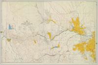
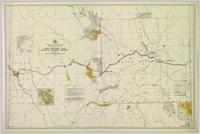
Colour-coded topographic map depicting surveyed lands alienated, available for purchase or lease, or available for pre-emption. Depicts land districts, land recording districts, parks, communities, bodies of water, transport routes, communication lines, and triangulation stations.
File contains slides depicting places along the Peace River.
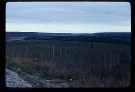
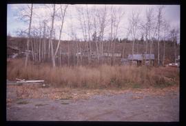
Image depicts a section of forest located somewhere in the Peace River Regional District of B.C.
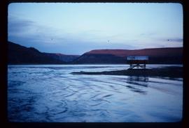
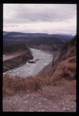
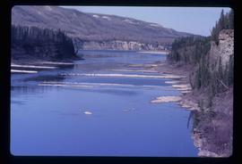
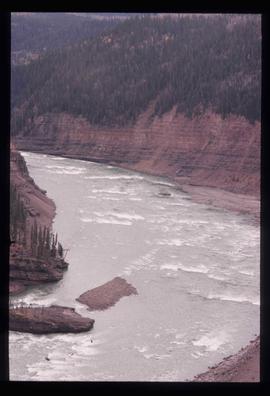
Image depicts the Peace River, possibly near Clayhurst or Hudson's Hope, B.C.
Image depicts the Peace River, possibly near Clayhurst or Hudson's Hope, B.C.
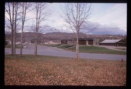
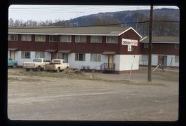
Image depicts what appears to be a Fire Hall in Hudson's Hope, B.C.
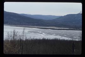
Image depicts what is possibly the Peace River.
Image depicts a dam, possibly on the Peace River.
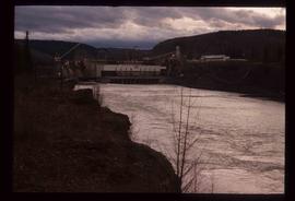
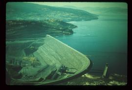
Image depicts a dam and a reservoir of water, possibly on the Peace River.
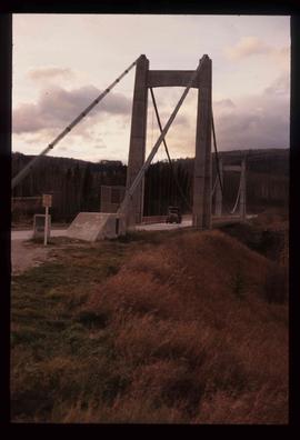
Image depicts a truck on a bridge, possibly crossing over the Peace River.
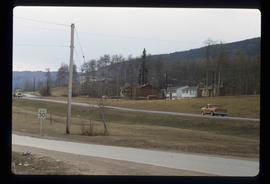
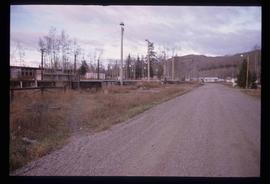
Image depicts several houses in Chetwynd, B.C.
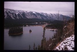
Image depicts a delta at Moberly Lake north of Chetwynd and south of Hudson's Hope, B.C.
Image depicts what is possibly the Peace River.
File contains slides depicting places in or near Pine Pass and along the Peace River.
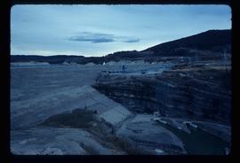
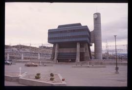
Image depicts the W.A.C. Bennett Dam on the Peace River in Hudson's Hope, B.C.
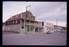
Image depicts an old, three-storey building beside a two-storey hotel in Hudson's Hope, B.C.
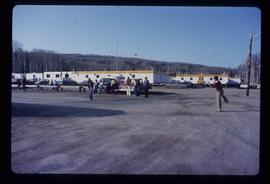
Image depicts a group of people throwing a frisbee in a parking lot at an uncertain location, likely in the Peace River Region.
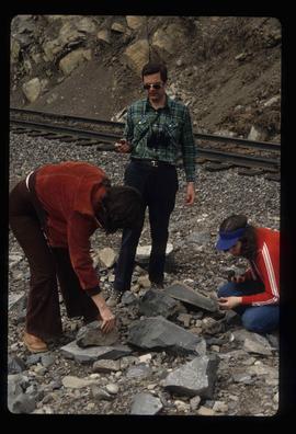
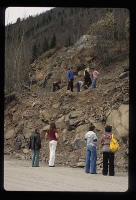
Image depicts three unidentified individuals examining rocks near a set of railway tracks at an uncertain location in the Peace River Region.
Image depicts a view of a saw mill in Chetwynd, B.C.
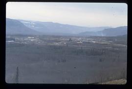
Image depicts a view of Fort St. John, B.C.
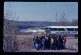
Image depicts a group of individuals and a bus with words that read: "Prince George Limousine & Charter." The river in the background is possibly the Peace River, and the location is possibly somewhere near Fort St. John, B.C.
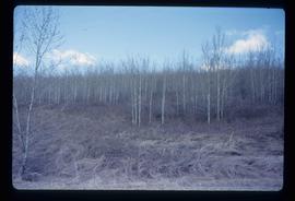
Image depicts a forest of bare trees, possibly somewhere near Fort St. John, B.C.
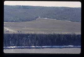
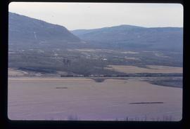
Image depicts what is possibly the Peace River running next to some farm land at an uncertain location.
Colour-coded topographic map depicting lands surveyed as alienated, reserved, or open to preemption. Depicts land districts, land recording divisions, communities, bodies of water, communication lines, and transport routes.
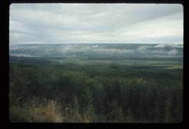
Image depicts an area of forests and fields somewhere near Fort St. John, B.C.
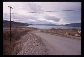
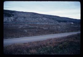
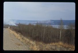
Image depicts what is possibly the Peace River running parallel to a road, possibly Highway 29.
Image depicts what appears to be a Fire Hall in Hudson's Hope, B.C.
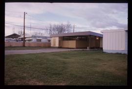
Image depicts two houses in Hudson's Hope, B.C.
Image depicts a street with a building which is labelled "MacKeigan Enterprises Ltd." in Hudson's Hope, B.C.
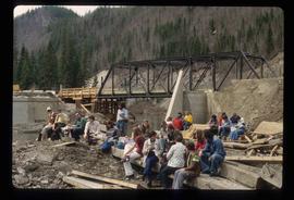
Image depicts a large group of people sitting and eating near a bridge at an uncertain location, though possibly near Hudson's Hope, B.C.
Image depicts numerous individuals who appear to be searching among the rocks on a ledge at an uncertain location in the Peace River Region.
Image depicts a number of townhouses in Chetwynd, B.C.
Image depicts an obstructed view of Moberly Lake, located north of Chetwynd and south of Hudson's Hope, B.C.
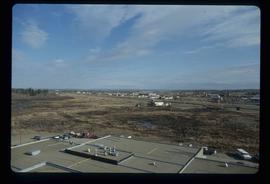
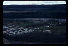
Image depicts a view of numerous houses and a ballpark at an uncertain location. It is possibly located somewhere in the Peace River Region.
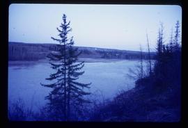
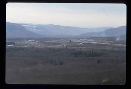
Image depicts the Peace River.
Image depicts the Peace River.
Image depicts Mile "0" of the Alaskan Highway in Dawson Creek, B.C.
Image depicts the Peace River.
Image depicts a view of a saw mill in Chetwynd, B.C.
Image depicts a view of a train passing through an area of Chetwynd, B.C.
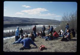
Image depicts a large group of unidentified individuals sitting on a hill; what is possibly the Peace River is visible in the background.
Image depicts the W.A.C. Bennett Dam on the Peace River in Hudson's Hope, B.C.
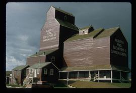
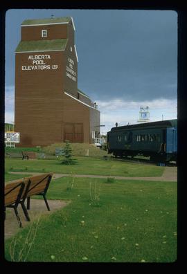
Image depicts a large building which is labelled "Alberta Pool Elevators Ltd. Dawson Creek," located in Dawson Creek, B.C.
Image depicts a large building which is labelled "Alberta Pool Elevators Ltd. Dawson Creek," located in Dawson Creek, B.C.
Image depicts a street of shops at an uncertain location somewhere in the Peace River Regional District. A pink and blue building, possibly a theatre, is labelled "Lux."
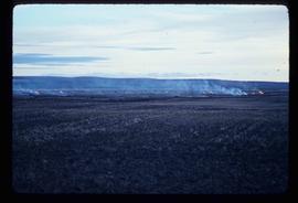
Image depicts grass burning at an uncertain location in the Peace River Region.
Image depicts a cabin and several other buildings, possibly located in Hudson's Hope, B.C.
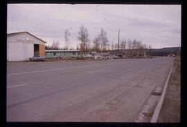
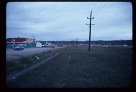
Image depicts a road and numerous buildings in Hudson's Hope, B.C.
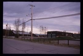
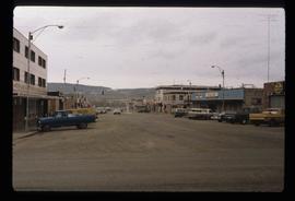
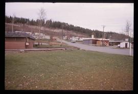
Image depicts a street in Hudson's Hope, B.C.
Image depicts the W.A.C. Bennett Dam in Hudson's Hope, B.C.
