Collection consists of 30 audio cassettes containing 46 interviews conducted primarily by radio & TV broadcaster Bob Harkins with local personalities. Most recordings were conducted at CJCI Studios, Prince George. The station was launched in 1970 by Central Interior Radio, broadcasting on 620 AM. In 1983, Central Interior also launched CIBC-FM in the city. Central Interior Radio was acquired by the Vista Broadcast Group in 2005.
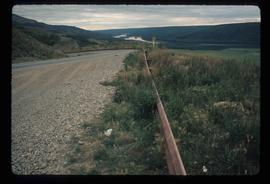
Sans titreImage depicts a road with a guardrail and open fields somewhere near Dawson Creek, B.C.
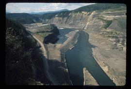
Image depicts a section of the Peace River blocked off by the W.A.C. Bennett Dam. The dam itself is not visible in the image.
Image depicts a dam on what is possibly the Peace River.
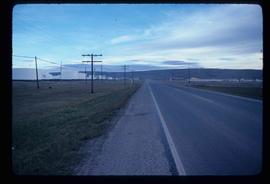
Image depicts a stretch of highway, possibly Highway 29 or 97.
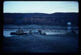
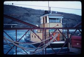
Image depicts the Clayhurst Ferry on the Peace River.
Image depicts the Clayhurst Ferry on the Peace River.
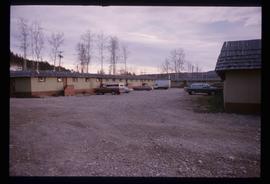
Image depicts what appears to be a motel in Hudson's Hope, B.C. The slide is labelled "camp HH."
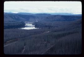
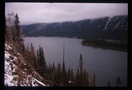
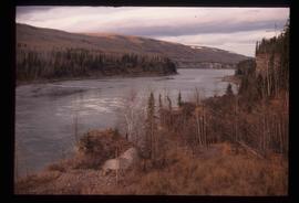
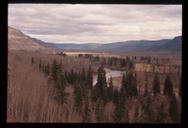
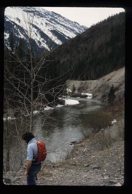
Image depicts the Peace River, possibly near Hudson's Hope, B.C.
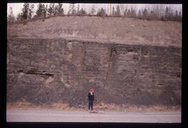
Image depicts an unidentified individual standing in front of a rock face with visible sediment layers. Located somewhere in the Peace River Region, possibly near Hudson's Hope.
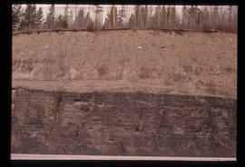
Image depicts a wall of rock with visible sediment layers at an uncertain location in the Peace River Region, possibly near Hudson's Hope.
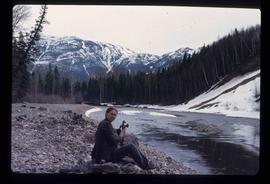
Image depicts an unidentified woman with a camera sitting on the bank of a river.
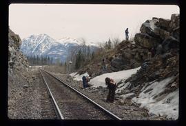
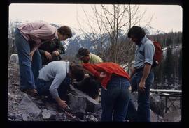
Image depicts a group of individuals who appear to be searching through the rocks near a railway track. It is possibly part of an educational trip.
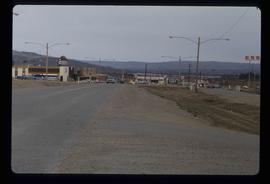
Image depicts several businesses in a small section of Chetwynd, B.C. There is a motor hotel and a half-visible sign for an Esso gas station.
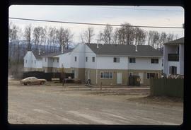
Image depicts a number of townhouses in Chetwynd, B.C.
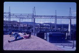
Image depicts several unidentified individuals lying on a hill outside what is most likely the W.A.C. Bennett Dam in Hudson's Hope, B.C.
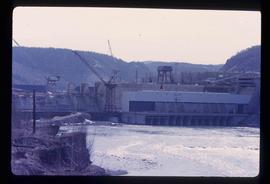
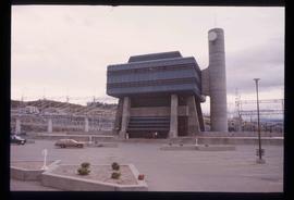
Image depicts the Peace Canyon Dam and generating station under construction on the Peace River.
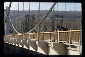
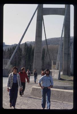
Image depicts several unidentified individuals standing on a bridge; it possibly crosses the peace River.
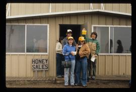
Image depicts several unidentified individuals standing in front of a store selling honey.
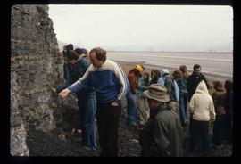
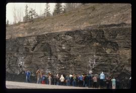
Image depicts a large group of people examining the sediment layers in a rock face.
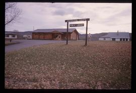
Image depicts the log building that acts as the public library in Hudson's Hope, B.C.
Image depicts the Peace River.
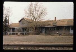
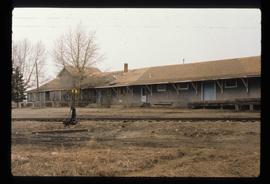
Image depicts a set of railway tracks, and a building with a sign which reads: "Telegraphs." The location is uncertain, but possibly in the Peace River Region.
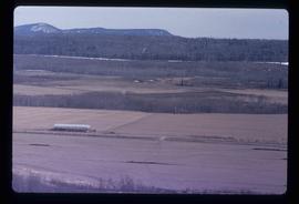
Image depicts a view of some farm land in Chetwynd, B.C.
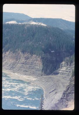
Image depicts the Peace River and visible layers of sediment deposits in the surrounding cliffs.
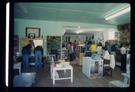
Image depicts the interior of a store, possibly in Fort St. John, B.C.
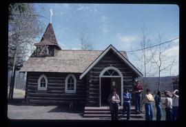
Image depicts several unidentified individuals exiting a church made of logs, possibly in Fort St. John, B.C.
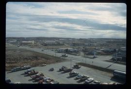
Image depicts a view of Fort St. John, B.C.
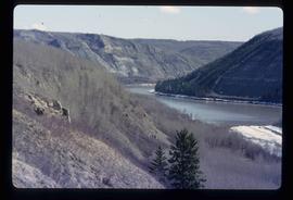
Image depicts the Peace River, possibly somewhere near Fort St. John, B.C.
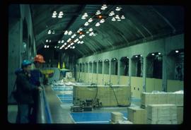
Image depicts two unidentified individuals in hard hats leaning against the railing of a large, open space inside an unknown concrete structure. It is possibly located in Fort St. John, B.C.
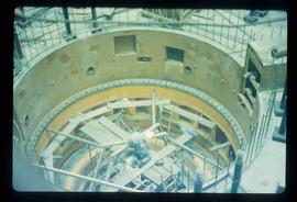
Image depicts two individuals at work inside what appears to be a piece of machinery. It is possibly located somewhere in Fort St. John, B.C.
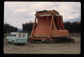
Image depicts an orange turbine in Fort St. John, B.C.
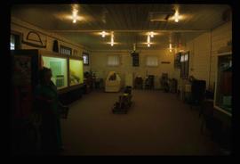
Image depicts the interior of the Station Museum in Dawson Creek, B.C.
Consists of two photograph albums that illustrate Parker Bonney's early years as a Forest Engineer. Includes photographs of the expedition to the Nass Valley undertaken by Parker Bonney, Sam Brown, and others. May also include photographs of later surveying expeditions.
Sans titreMap depicts the proposed electoral districts of British Columbia, including: Burnaby, Capilano, Cariboo-Chilcotin, Comox-Powell River, Cowichan-Malahat-The Islands, Esquimalt-Saanich, Fort Nelson-Peace River, Fraser Valley East, Fraser Valley West, Kamloops-Shuswap, Kootenay East, Kootenay West, Mission-Port Moody, Nanaimo-Alberni, New Westminster-Coquitlam, North Vancouver-Burnaby, Okanagan North, Okanagan-Similkameen, Prince George-Bulkley Valley, Richmond-South Delta, Skeena, Surrey-White Rock-North Delta, Vancouver Centre, Vancouver East, Vancouver Kingsway, Vancouver Quadra, Vancouver South, and Victoria.
Item is an orange bumper sticker with the BC Hydro logo and the words "I HAVE SEEN THE PEACE POWER PROJECT".
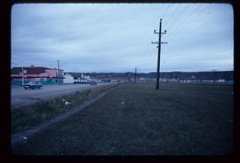
Image depicts a street of shops at an uncertain location somewhere in the Peace River Regional District. A pink and blue building, possibly a theatre, is labelled "Lux."
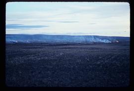
Image depicts grass burning at an uncertain location in the Peace River Region.
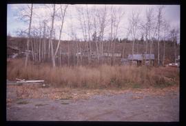
Image depicts a cabin and several other buildings, possibly located in Hudson's Hope, B.C.
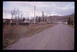
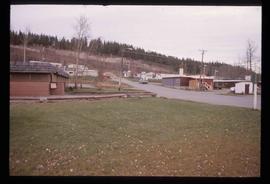
Image depicts a road and numerous buildings in Hudson's Hope, B.C.
Image depicts a street in Hudson's Hope, B.C.
Image depicts the W.A.C. Bennett Dam in Hudson's Hope, B.C.
Image depicts what is either the Peace or Kiskatinaw River in Pine Valley, B.C.
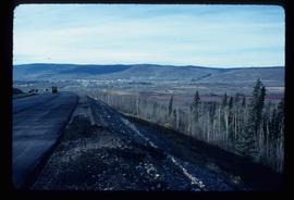
Image depicts a view of Chetwynd, possibly from Highway 97.
Image depicts a river, possibly the Peace River.
Image depicts a group of individuals who appear to be examining a rock. It is possibly part of an educational trip.
Image depicts several unidentified individuals and a bridge behind them; it is possibly crossing the Peace River.
Image depicts a set of railway tracks and a long building located somewhere in the Peace River Region.
Image depicts a large group of people examining the sediment layers in a rock face.
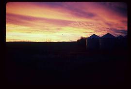
Image depicts a view of a sunset at an uncertain location, possibly in the Peace River Region.
