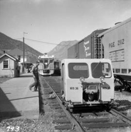
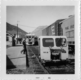
Photograph depicts the Pacific Great Eastern depot in Lillooet. In the photograph is the front coach #31 of a two-coach Budd car train, 5 minutes after arrival, being checked and serviced. On this day this two-coach unit left from North Vancouver at 8 am and arrived at Lillooet at 1:15 pm. It left Lillooet at 4:05 pm and returned to Vancouver at 9:30 pm. The total mileage run was 315 miles.
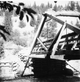
Photograph depicts Moha Bridge which crosses the Yalakon River. Taken at the side of a derelict mining village.
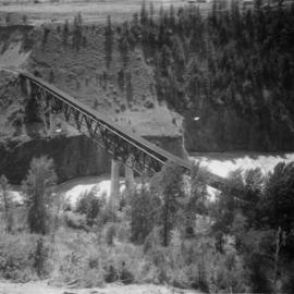
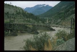
Photograph depicts a PGE crossing over the Fraser River.
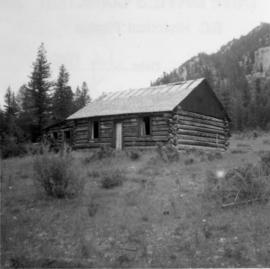
Photograph depicts a disused cabin that was perhaps abandoned in the late 1950's.
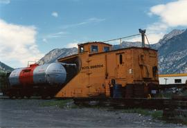
Photograph depicts a BCR snow plow, possibly spotted in Lillooet.
File contains slides depicting places in the Lillooet area.
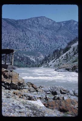
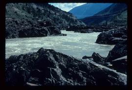
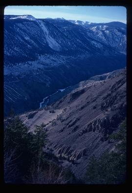
Image depicts the Fraser River in the Lillooet, B.C.
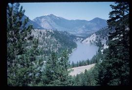
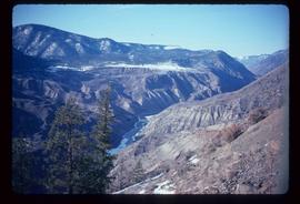
Image depicts a view of the Fraser River near Lillooet, B.C.
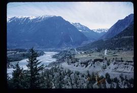
Image depicts a view of the Fraser River and the mountains surrounding Lillooet, B.C.
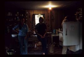
Image depicts three unknown individuals in a kitchen somewhere in Lillooet, B.C. They are possibly archaeology students.
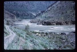
Image depicts the Fraser River near Lillooet, B.C.
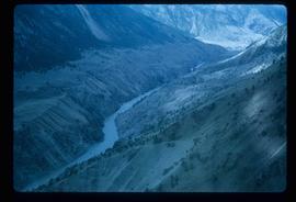
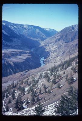
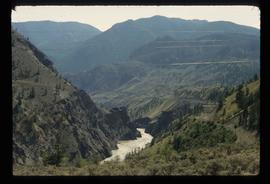
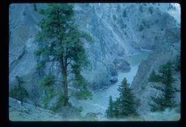
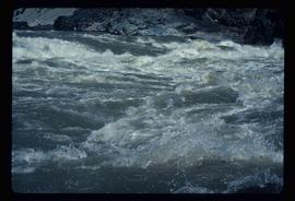
Image depicts the Fraser River running through the Moran Canyon near Lillooet, B.C.
Image depicts an area around Lillooet, B.C. It is possibly the Fraser River running through the Moran Canyon.
Image depicts Lillooet, B.C.
Image depicts the Fraser River near Lillooet, B.C.
File contains slides depicting places around and between Lillooet and Howe Sound.
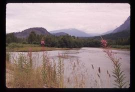
Image depicts the Lillooet River at the head of Lillooet Lake.
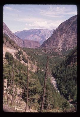
Image depicts a view of the scenery near Lillooet, B.C.
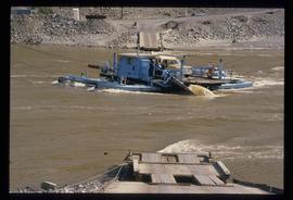
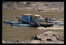
Image depicts a ferry on a river, possibly the Fraser River in the Lillooet area.
Image depicts a ferry on a river, possibly the Fraser River in the Lillooet area.
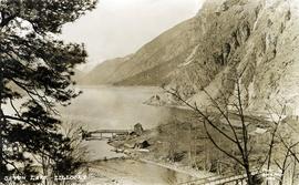
Photograph depicts the steam-operated sawmill at Seton Lake and a fish weir at the mouth of the creek. The railway grade alongside the lake, constructed circa 1914-1915, is visible in the background. The Seton Lake fish hatchery, which built and used the fish weir, ceased operations in 1915, dating this photograph sometime around 1914 or 1915.
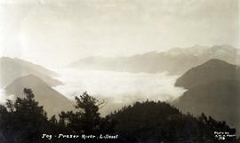
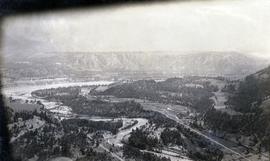
Photograph depicts a view of fog over the Fraser River in the Lillooet area.
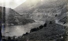
Photograph depicts the Pacific Great Eastern Railway bridge when the railway operated on the east side of the Fraser River.
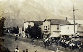
Photograph depicts an event on Lillooet Main Street with spectator crowds. The Union Jack and Canadian Red Ensign flags suggest this may be a Dominion Day event. The Lillooet community put on large, multi-day Dominion Day events between 1912 and 1916 with many planned activities. The particular activity depicted in this photograph may be a horse race or rodeo-type event. Main Street businesses visible include the Lillooet Restaurant, the Lillooet Pool Hall, and the "OK" Baths.
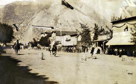
Photograph depicts an event on Lillooet Main Street with spectator crowds. The Union Jack and Canadian Red Ensign flags suggest this may be a Dominion Day event. The Lillooet community put on large, multi-day Dominion Day events between 1912 and 1916 with many planned activities. The particular activity depicted in this photograph appears to be a horse race event. Main Street businesses visible include the Lillooet Restaurant and the "C.A. Phair General Merchant" store.
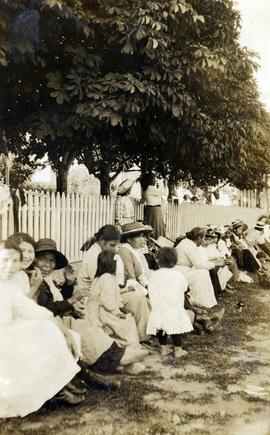
Photograph depicts a row of spectators wearing nice clothing, sitting on the curb in the shade of mature chestnut trees. Many of the spectators appear to be Indigenous women and children. They may be gathered to watch a parade or special event. There are Union Jacks and Canadian Red Ensign flags hanging in the trees, suggesting the event may be a Dominion Day event. Although the location is unknown, the presence of the chestnut trees suggests that this may have been taken on Lillooet Main Street.
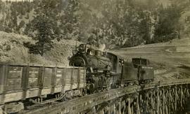
Photograph depicts a Pacific Great Eastern Railway train on Pavilion Creek trestle at Mile 20.3. The train includes Locomotive #56, built by Canadian Locomotive Company of Kingston, Ontario, in August 1914, together with caboose C2, built by National Steel Car of Hamilton, Ontario in 1914 and a “Hart Convertible Car” #140 stencilled with indeterminable initials. These cars were convertible gondolas which were used as ballast cars with the ability to dump ballast either between or outside the rails depending on whether the centre floor doors or the side doors were opened. This particular car, which was scrapped in 1949, was part of a group of 15 cars remaining in number series 131 - 195 (not all numbers used) known on the PGE as “Red Harts” to distinguish them from a somewhat more modern version in number series 201 - 240 (again, not all numbers used) known as “Black Harts”.
The ca. 1921-1927 “PGE Bridge List” from the notebook of William H. Hewlett (1914-1968) references a 389.4 foot long, 34 ft. high, framed trestle with 26 spans of 14.8 feet at Mile 20.3 carrying the line over Pavilion Creek. There was a water tank at Pavilion located between the North end of the siding and the South end of the trestle. A track profile chart confirms that the track at this point is on a 12 degree curve.
"Canadian Railway and Marine World" reported in their January 1916 issue (p. 11, c.1), that track had been laid to within ½ mile of Clinton (Mile 45.0) on Dec. 14, 1915. If a constant rate of construction had been maintained from Mile 14, reached on July 30, 1915 as previously discussed, to Clinton, the approximate date of completion to Pavilion would be around the end of August, 1915 which is probably the earliest possible date for this photograph.
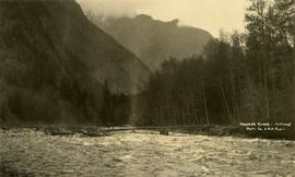
Photograph depicts a horseback rider crossing Cayoosh Creek at a log bridge near Lillooet.
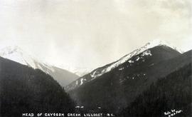
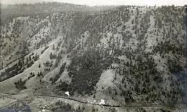
Photograph depicts a view of mountains, described as the head of Cayoosh Creek near Lillooet, BC.
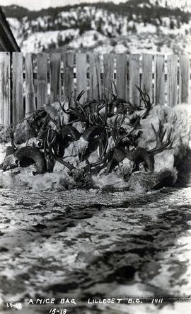
Photograph depicts a pile of hunting trophies in Lillooet, B.C. Visible are what appear to be mule deer antlers, big horn sheep horns, and mountain goat pelts and horns.
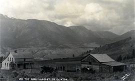
Photograph depicts a ranch home and barn along the road from Lillooet to Clinton. The location is believed to be a homestead 2 miles south of Pavilion Station. Two cars are parked beside the property, with a number of men nearby.
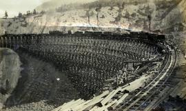
Photograph depicts a Pacific Great Eastern Railway work train on a trestle located near Sallus Creek in the area around Lillooet, Fountain, and Pavilion. The work train appears to be carrying railway ties. Railway workers work on the track behind the train with piles of unused rail ties nearby.
Photographs 2020.08.68, 2020.08.69, and 2020.08.70 are three views of track laying on the Sallus Creek trestle. These form a sequence: 2020.08.68, 2020.08.70, 2020.08.69 in order as track laying proceeds from the South end of the trestle toward the North end. The piece of equipment at the North end of the train in all three images is a track laying machine that lifted a piece of rail and delivered it to the workmen ahead of the machine. "Canadian Railway and Marine World" reported that track had been laid to 14 miles North of Lillooet by July 30, 1915 (CR&MW , Sept 1915, p341, c2). 14 miles North of Lillooet is approximately 20 rail lengths beyond the North end of this trestle, leading to a "best estimate" of late July 1915 as the date for this photograph.
The ca. 1921-1927 “PGE Bridge List” from the notebook of William H. Hewlett (1914-1968) references a Mile 13.7, 14 Mile Creek, frame trestle, 905 ft. long, 182 ft. high, 61 spans of 14.8 feet in the Lillooet Subdivision. A “PGE Track Profile” drawing shows this trestle was on a 1.55% grade and a 12 degree left hand curve. While the drawing had been revised at least twice (with an unknown date for the most recent revision), the pre-“Lillooet Diversion of 1931" mileage figures confirm that the 1915 “Mile 13.7" was in agreement with a more recent hand written note “Sallus Creek”. The trestle appears to have gone by the names "14 Mile" trestle, "13.7 Mile Trestle", and "Sallus Creek" trestle.
Photograph depicts a view of a train on the Pacific Great Eastern Railway line approximately 2 miles south of the Pavilion station.
Photograph depicts the confluence of the Cayoosh Creek outflow into the Fraser River in Lillooet, BC. Seton River is visible in the foreground. This area is Cayoose Creek Band (Sekw'el'wás First Nation) territory and includes land currently encompassed within Cayoosh Creek Indian Reserve 1. The Pacific Great Eastern Railway bridge over the Fraser River is also visible in the background.
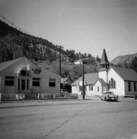
Photograph depicts a liquor store and church on Main St. in Lillooet, B.C.
Photograph depicts the Pacific Great Eastern depot in Lillooet. The 4:05 pm train is about to depart for Vancouver, with a speeder leaving to check rock falls along Seton and Anderson lakes.
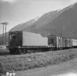
Photograph depicts the Pacific Great Eastern depot in Lillooet. In the photograph is an old locomotive tender on a flat car, used as a mobile water tank for the work crew train.
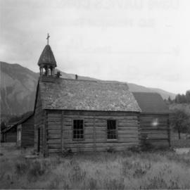
Photograph depicts a church that was built of shaped logs on the territory of the Tsal'alh Nation on the road leading to Seton Lake. Church was derelict, but still held pews, plastic flowers and small shrines.
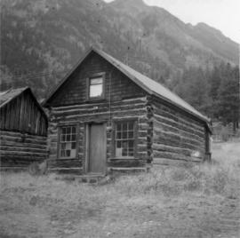
Photograph depicts a log cabin that was inhabited by an older aboriginal man who is visible in the window. The cabin was perhaps 100 years old.
Photograph depicts a southbound Budd car train about to deport.
Image depicts the Fraser River somewhere in the Lillooet area.
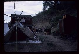
Image depicts a gathering of people for an uncertain event at an uncertain location, possibly in Lillooet, B.C. A few tents are set up in the picture.
Image depicts the Fraser River near Lillooet, B.C.
Image depicts the Fraser River running through the Moran Canyon near Lillooet, B.C.
Image depicts the Fraser River running through the Moran Canyon near Lillooet, B.C.
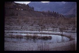
Image depicts rows of water, possibly being irrigation ditches, somewhere in Lillooet, B.C.
Image depicts the Fraser River near Lillooet, B.C.
Image depicts two bridges over the Fraser River, located somewhere in Lillooet, B.C.
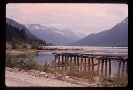
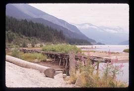
Image depicts the head of Lillooet Lake.
Image depicts the head of Lillooet Lake.

