Mostrando 8 resultados

Archival description
7 resultados con objetos digitales Muestra los resultados con objetos digitales
Junction Range
2012.13.1.065 · Sub-séries · [between 1974 and 1984]
Parte de J. Kent Sedgwick fonds

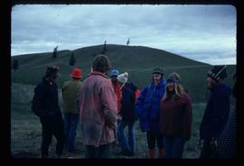
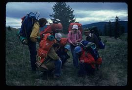
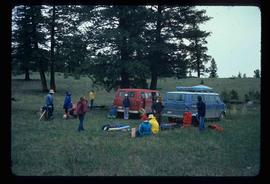
File contains slides depicting places in and around the Junction Sheep Range Provincial Park south-west of Williams Lake.

Group of Hikers
2012.13.1.65.12 · Item · May 1975
Parte de J. Kent Sedgwick fonds

Image depicts a group of hikers listening to a man, possibly a guide, speak. The location is possibly near Riske Creek, B.C.

Tents
2012.13.1.65.10 · Item · May 1975
Parte de J. Kent Sedgwick fonds

Image depicts several orange and blue tents, possibly somewhere near Riske Creek, B.C.

Group of Hikers - Plant Examination
2012.13.1.65.09 · Item · May 1975
Parte de J. Kent Sedgwick fonds

Image depicts a group of hikers examining something on the ground, most likely the small pink flower that is barely visible in the grass. The location is possibly near Riske Creek.

Group of Hikers
2012.13.1.65.08 · Item · May 1975
Parte de J. Kent Sedgwick fonds

Image depicts a group of people and two vans, apparently preparing to set out on a hike somewhere near Riske Creek, B.C.

Chilcotin Wildlife Management Area Sign
2012.13.1.65.07 · Item · May 1975
Parte de J. Kent Sedgwick fonds

Image depicts a sign titled "Chilcotin Wildlife Management Area" somewhere near Riske Creek, B.C. It reads: "This trail has been provided by the Fish and Wildlife Branch in co-operation with Riske Creek Ranching Ltd., as access to the Chilcotin Wildlife Management Area. Please do not leave the the trail as the surrounding land is private property."