2009.7.1
·
Série organique
·
[ca. 1873 - ca. 1939]
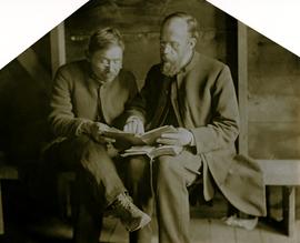
Fait partie de Archdeacon W. H. Collison fonds
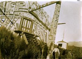
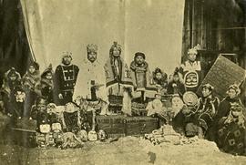
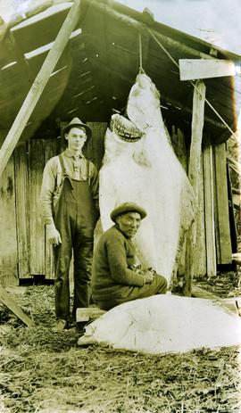
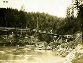
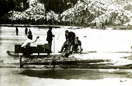
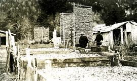
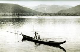
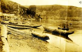
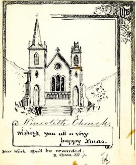
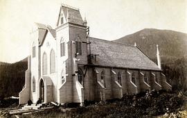
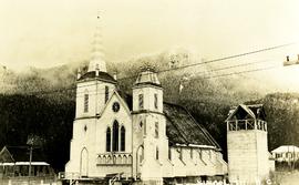
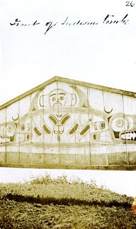
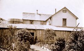
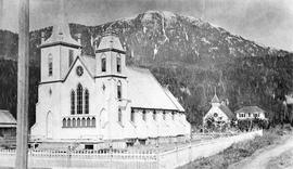
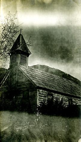
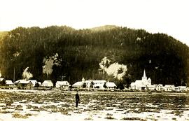
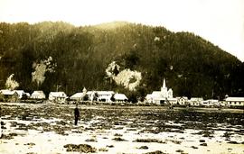
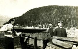
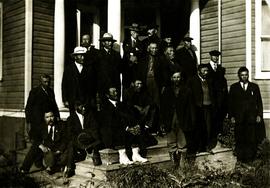
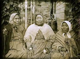
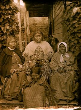
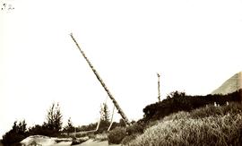
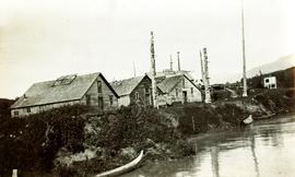
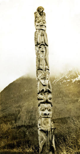
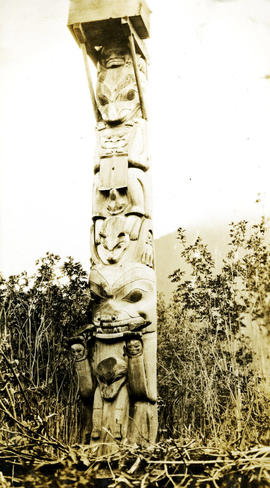
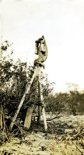
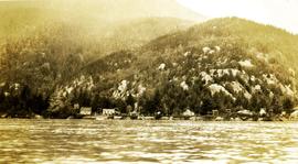
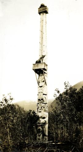
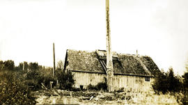
Series consists of images pertaining the Collison family, North Coastal First Nations communities, means of transportation along North Coastal British Columbia, and various church structures and religious events.