2011.12.31
·
Item
·
[ca. September 1950- June 1951]
Part of Giscome, BC Historical Photograph collection
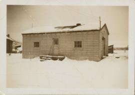
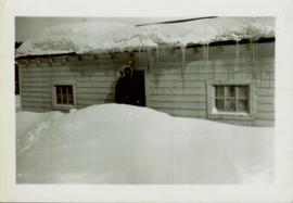
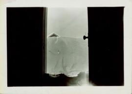
Handwritten annotation in pen on verso reads: “Looking out of our classroom window up the street.” According to the donor, the car stuck in the snow belonged to his colleague, Bob White.