2011.12.08
·
Pièce
·
[ca. September 1950- June 1951]
Fait partie de Giscome, BC Historical Photograph collection
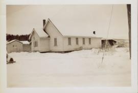
Overhead photograph of Giscome with the Eagle Lake Sawmill's beehive burner clearly visible in left foreground. Handwritten annotation in pen on verso reads: “Part of our community. school * ”