2006.20.10.8
·
Item
·
[ca. 1930 - 1940]
Parte de Northern BC Archives Historical Photograph Collection
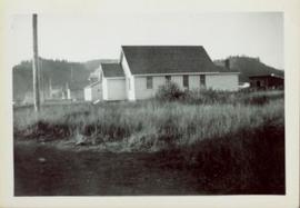
Overview of the Giscome sawmill behind road. Lumber yard is visible in foreground while mill stands in background.
Handwritten annotation in pencil on verso: "Giscome Mill / lumber yard in foreground".