File consists of records created and accumulated by Gary Runka over the course of his consultancy work for Misty Isles Economic Development Society for the "Food Planning Presentations on Haida Gwaii" project in Haida Gwaii. This file was numbered as G.G. Runka Land Sense Ltd. client file #664; that client number may be seen referenced elsewhere in the G. Gary Runka fonds. The Land Sense Ltd. client files generally include records such as correspondence, contracts, invoices, project reports, publications, ephemera, memoranda, maps or map excerpts, legal documents, meeting materials, clippings, and handwritten notes.
The Archdeacon W.H. Collison fonds consists of textual materials, maps, published materials and photographs all documenting Collison’s life and work with North Coastal First Nations communities in British Columbia. Types of records found within this fonds include manuscripts, sermon notes, correspondence, oral history summaries, monographs, cartographic items, photographs and postcards. The Collison fonds also includes some records created by his children and grandchildren as well as a family tree created in 1986. The Collison fonds has been divided into four series.
Zonder titelFile consists of records created and accumulated by Gary Runka over the course of his consultancy work for Haida Tribal Society for the "Facilitation and Process Advice on Development of a Marine Use Strategic Plan" project in Haida Gwaii. This file was numbered as G.G. Runka Land Sense Ltd. client file #626; that client number may be seen referenced elsewhere in the G. Gary Runka fonds. The Land Sense Ltd. client files generally include records such as correspondence, contracts, invoices, project reports, publications, ephemera, memoranda, maps or map excerpts, legal documents, meeting materials, clippings, and handwritten notes.
File consists of records created and accumulated by Gary Runka over the course of his consultancy work for BC Ministry of Sustainable Resource Management for the "Consultations on Land Use Planning Process Design Haida Gwaii/QCI Land Use Plan" project in Queen Charlotte City. This file was numbered as G.G. Runka Land Sense Ltd. client file #579; that client number may be seen referenced elsewhere in the G. Gary Runka fonds. The Land Sense Ltd. client files generally include records such as correspondence, contracts, invoices, project reports, publications, ephemera, memoranda, maps or map excerpts, legal documents, meeting materials, clippings, and handwritten notes.
File consists of records created and accumulated by Gary Runka over the course of his consultancy work for Queen Charlotte Islands Forest District for the "Facilitation and Mediation of Local Resource Use Plan for Tlell Watershed" project in Tlell River. This file was numbered as G.G. Runka Land Sense Ltd. client file #539; that client number may be seen referenced elsewhere in the G. Gary Runka fonds. The Land Sense Ltd. client files generally include records such as correspondence, contracts, invoices, project reports, publications, ephemera, memoranda, maps or map excerpts, legal documents, meeting materials, clippings, and handwritten notes.
Maps include:
- BC Ministry of Forests, "Tlell River Local Resource Use Plan - Leading Species", Feb. 1999.
- BC Ministry of Forests, "Tlell River Local Resource Use Plan - Age Class", Feb. 1999.
- BC Ministry of Forests, "Tlell River Local Resource Use Plan - Aspect", Feb. 1999.
- BC Ministry of Forests, "Tlell River Local Resource Use Plan - Ownership/Tenure", Feb. 1999.
- BC Ministry of Forests, "Tlell River Local Resource Use Plan - TEM Ecosystem Types", Feb. 2000.
- BC Ministry of Forests, "Tlell River Local Resource Use Plan - TEM Groupings", Feb. 2000.
- BC Ministry of Forests, "Tlell River Local Resource Use Plan - Soil and Moisture Regimes", Feb. 2000.
- BC Ministry of Forests, "Tlell River Local Resource Use Plan - Berry Potential, Map 1 of 5: Red Huckleberry", Mar. 2000.
- BC Ministry of Forests, "Tlell River Local Resource Use Plan - Berry Potential, Map 2 of 5: Alaskan Blueberry", Mar. 2000.
- BC Ministry of Forests, "Tlell River Local Resource Use Plan - Berry Potential, Map 3 of 5: Salal", Mar. 2000.
- BC Ministry of Forests, "Tlell River Local Resource Use Plan - Berry Potential, Map 4 of 5: Oval-Leafed Blueberry", Mar. 2000.
- BC Ministry of Forests, "Tlell River Local Resource Use Plan - Berry Potential, Map 5 of 5: Wetland Berries", Mar. 2000.
- BC Ministry of Forests, "Tlell River Local Resource Use Plan - Known Scenic Areas", Mar. 2000.
- BC Ministry of Forests, "Tlell River Local Resource Use Plan - Height Class", Mar. 2000.
- BC Ministry of Forests, "Tlell River Local Resource Use Plan - Archaeological Overview Assessment", Mar. 2000.
- BC Ministry of Forests, "Tlell River Local Resource Use Plan - Fire Legacy", Mar. 2000.
- Tlell Watershed Society (TWS) and geoMAX carto/graphics, "Northern Goshawk (Accipiter gentilis laingi) Nesting Habitat for the Tllel River Watershed, Queen Charlotte Islands / Haida Gwaii, British Columbia", Draft map, n.d.
- Tlell Watershed Society (TWS) and geoMAX carto/graphics, "Marbled Murrelet (Brachyramphus marmoratus) Nesting Habitat for the Tllel River Watershed, Queen Charlotte Islands / Haida Gwaii, British Columbia", Draft map, n.d.
- Tlell River Local Resource Use Plan, Feather Creek topographic map, n.d.
File consists of records created and accumulated by Gary Runka over the course of his consultancy work for Natural Resources Canada & BC Ministry of Forests for the "Facilitation of South Moresby Forest Replacement Account Strategic Plan Negotiations" project in Haida Gwaii. This file was numbered as G.G. Runka Land Sense Ltd. client file #543; that client number may be seen referenced elsewhere in the G. Gary Runka fonds. The Land Sense Ltd. client files generally include records such as correspondence, contracts, invoices, project reports, publications, ephemera, memoranda, maps or map excerpts, legal documents, meeting materials, clippings, and handwritten notes.
Collection consists of a travel scrapbook created by Jill Singleton documenting a trip to Alaska, Yukon, Haida Gwaii, and northern BC. Includes photographs, ephemera, handwritten notes, pamphlets, issues of local newspapers, and maps.
This travel scrapbook was created by Jill Singleton to document a trip to Alaska, Yukon, Haida Gwaii, and northern BC. Jill Singleton and Eric Stathers embarked on a 1985 car camping trip using the BC Ferries and Alaska Ferry systems. Includes postcards, ephemera, handwritten notes, pamphlets, issues of local newspapers, and maps. Also includes 37 photographs.
Includes the following:
- "Queen Charlotte Islands Observer" newspaper issue for August 8, 1985
- "A Walking Tour and Business Directory for Queen Charlotte City", June 1985
- "A Walking Tour and Business Directory for Tlell + Port Clements", June 1985
- "A Walking Tour and Business Directory for Skidegate Landing, Skidegate and Sandspit", June 1985
- "A Walking Tour and Business Directory for Masset", June 1985
- "Explorations Q.C.I." pamphlet advertising guiding, outfitting, and touring
- "Sandspit Inn, Queen Charlotte Islands" pamphlet
- "Visit the Queen Charlottes" pamphlet
- Queen Charlotte Islands map, circa 1985
- BC Ferries pamphlet "New in 1985... Inside Passage Day Cruise"
- BC Ferries pamphlet "Tickets and Boarding Information, Inside Passage"
- "Alaska Marine Highway" pamphlet
- "Discover Southeast Alaska, Ketchikan" pamphlet
- "Alaska State Parks" pamphlet/map
- "Tongass National Forest, Alaska" pamphlet/map
- "Alaska Marine Highway Summer Schedule - May 1, 1985 through September 30, 1985" pamphlet
- History leaflet for St. Michael's Cathedral, Sitka, AK
- Alaska Seafood Marketing Institute leaflets, 1984
- Anchorage 1984 Visitors Guide, Anchorage Convention & Visitors Bureau
- "Skagway... some Steps on the Gold Rush Trail... walking Tour of the Historic District - Klondike Gold Rush National Historical Park"
- "Skaguay Alaskan" newspaper issue, Vol. VIII, No. 1880 (1985)
- "Klondike Gold Rush" pamphlet for tourists
- "Broadway, Skagway, Alaska" pamphlet
- "S.S. Tutshi, Carcross" pamphlet
- "Moon Watching" pamphlet by BC Ministry of Lands, Parks and Housing (1980)
- "Some Insects of Provincial Parks" pamphlet by BC Ministry of Lands, Parks and Housing (1980)
- "Stewart, British Columbia - Hyder, Alaska... Your Gateway to Alaska and the Yukon!" pamphlet
- "Stewart-Cassiar Highway 37" map
- "Prince Rupert City Map & Guide" pamphlet
- "Explore Canada's Yellowhead, Western Canada's New Interprovincial Highway" pamphlet (1983)
- "101 Things To Do in Yukon" booklet published by Tourism Yukon (1985)
- "Your Guide to B.C. Ferries' Inside Passage" booklet by British Columbia Ferry Corporation (1985)
- "Port Alberni, British Columbia, Canada" booklet (1981)
Trip itinerary:
- Vancouver, BC
- Nanaimo, BC
- Port Hardy, BC
- Prince Rupert, BC
- Yakoun River, BC
- Haida Gwaii, BC (formerly Queen Charlotte Islands)
- Rennell Sound, BC
- Graham Island, BC
- Queen Charlotte City, BC
- Sandspit, BC
- Prince Rupert, BC
- Ketchikan, AK
- Sitka, AK
- Tenakee Springs, AK
- Juneau, AK
- Skagway, BC
- Carcross, YK
- Atlin, BC
- Telegraph Creek, BC
- Kitwanga, BC
- Prince Rupert, BC
- Prince George, BC
- Lillooet, BC
- Vancouver, BC
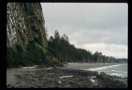
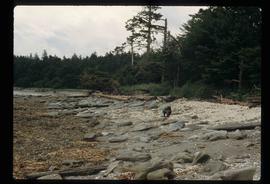
Image depicts the coastal forests on the shores of Haida Gwaii, B.C.
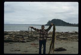
Image depicts Kent Sedgwick standing on a beach in Haida Gwaii, B.C. He is holding seaweed.
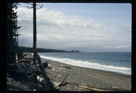
Image depicts the coastline of Haida Gwaii, B.C.
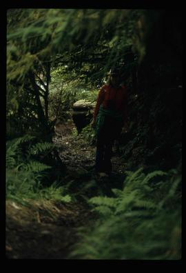
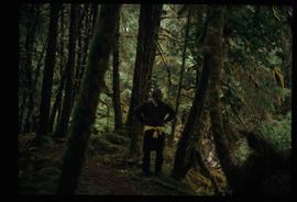
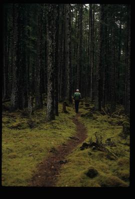
Image depicts an individual standing on a trail in the coastal forest on Haida Gwaii, B.C.
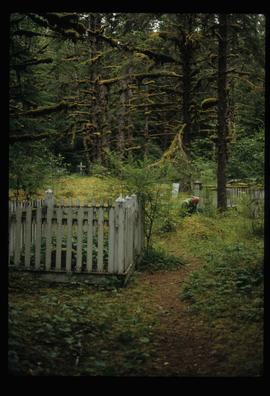
Image depicts an individual crouching in an old cemetery located somewhere in the coastal forest on Haida Gwaii, B.C.
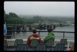
Image depicts several individuals seated on a ferry as it possibly departs from a dock somewhere in Prince Rupert, B.C. It is most likely headed for Haida Gwaii, B.C.
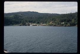
Image depicts numerous buildings and a dock on the shore of Haida Gwaii, B.C..
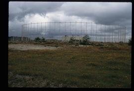
Image depicts a building surrounded by a tall, circular enclosure somewhere on Haida Gwaii, B.C.
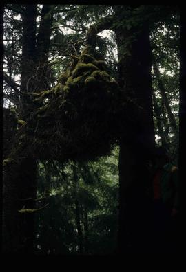
Image depicts an oddly shaped tree branch that appears to have grown downwards, and is covered in green, mossy growths. Located somewhere on Haida Gwaii.
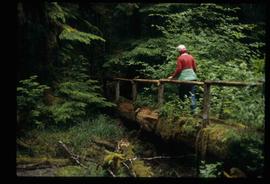
Image depicts an individual walking on a a log bridge in a forest somewhere on Haida Gwaii.
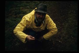
Image depicts Kent Sedgwick crouching and holding a stick; the slug on the end is barely visible. Located somewhere on Haida Gwaii.
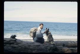
Image depicts Kent Sedgwick sitting on a log with a dog on a beach somewhere in Haida Gwaii, B.C.
Image depicts the coastal forests on the shores of Haida Gwaii, B.C. An unknown individual is crouching on the beach in the image.
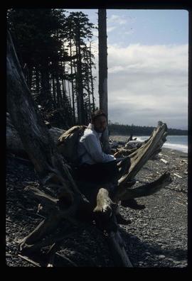
Image depicts Kent Sedgwick sitting on a log on the shore of Haida Gwaii, B.C.
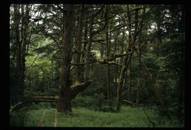
Image depicts numerous trees in the coastal forest of Haida Gwaii, B.C.
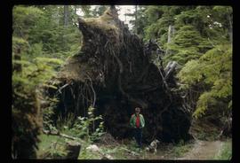
Image depicts an individual standing next to what appears to be the base of a very large, uprooted tree, located somewhere in the coastal forest of Haida Gwaii, B.C.
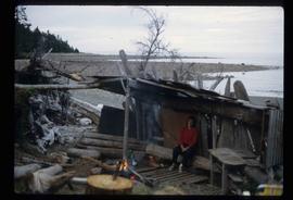
Image depicts a woman, possibly Sue Sedgwick, sitting in a shack on a beach on Haida Gwaii.
Image depicts numerous buildings on the shore of Haida Gwaii as the ferry approaches.
Image depicts a totem pole and a playground in what appears to be a residential area somewhere on Haida Gwaii, B.C.
Image depicts a house with some Firts Nations' art painted on the front, somewhere on Haida Gwaii, B.C.
Image depicts what appears to be a type of log bridge crossing a river somewhere on Haida Gwaii.
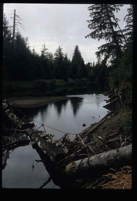
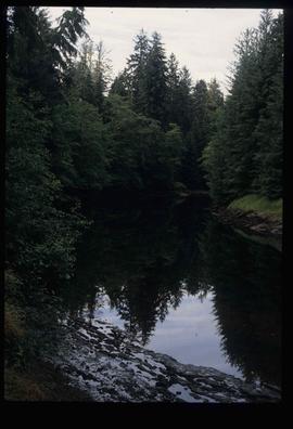
Image depicts a river with dense trees on either side.
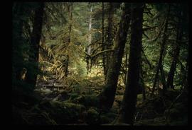
Image depicts a forest somewhere on Haida Gwaii.
Image depicts Kent Sedgwick standing in a forest somewhere on Haida Gwaii.
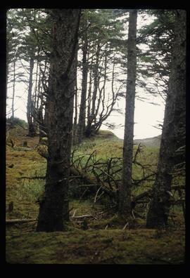
Image depicts a forest somewhere on Haida Gwaii.
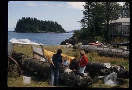
Image depicts several individuals examining totem poles which are possibly undergoing a restoration process somewhere on Haida Gwaii.
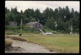
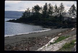
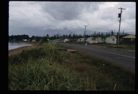
Image depicts a house on the shore somewhere on Haida Gwaii.
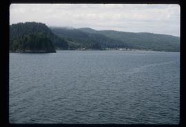
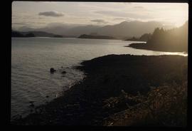
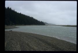
Image depicts a view of the coast of Haida Gwaii.
File contains slides depicting places on Haida Gwaii, formerly known as the Queen Charlotte Islands.
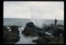
Image depicts a woman standing on a rocky shore somewhere on Haida Gwaii, B.C.
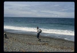
Image depicts Kent Sedgwick walking along the coastline of Haida Gwaii, B.C.
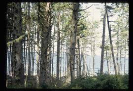
Image depicts numerous trees in the coastal forest of Haida Gwaii, B.C.
Image depicts numerous trees in the coastal forest of Haida Gwaii, B.C.
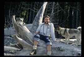
Image depicts Kent Sedgwick sitting with a dog on a log on the shore of Haida Gwaii, B.C.
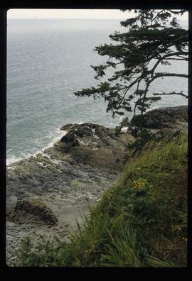
Image depicts a downward view of a small section of the shore of Haida Gwaii.
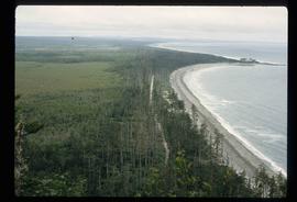
Image depicts an aerial view of the coastline of Haida Gwaii, B.C.
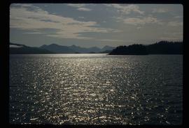
Image depicts the waters of the Hecate Strait.
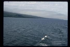
Image depicts the waters of the Hecate Strait, possibly on approach to Haida Gwaii, B.C.
Image depicts a row of houses in the village of Masset on Haida Gwaii.
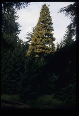
Image depicts a tall pine tree somewhere on Haida Gwaii.
Image depicts an individual walking on a path through a forest somewhere on Haida Gwaii.
Image depicts a view of the coast of Haida Gwaii.
