2012.13.1.85.52
·
Item
·
[2004?]
Parte de J. Kent Sedgwick fonds
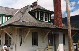
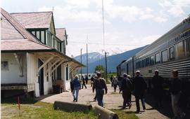
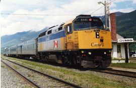
Image depicts the CN Station in McBride, B.C.