2008.2.1.15
·
Pièce
·
1929
Fait partie de Northern BC Cartographic Collection
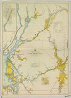
Colour-coded map depicting surveyed lands respectively open and closed to preemption. Depicts land recording divisions, land district boundaries, government reserves, communities, bodies of water, and transport routes. Includes topographical inset.
