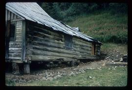
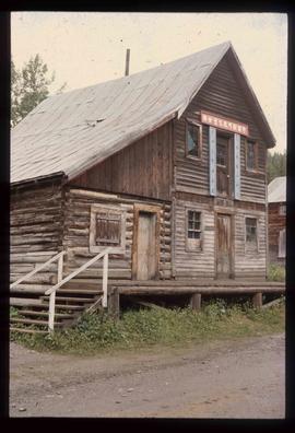
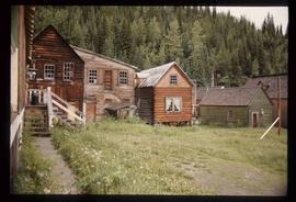
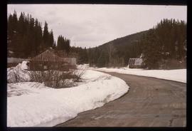
Mostrando 42 resultados

Archival description
41 resultados con objetos digitales Muestra los resultados con objetos digitales
Corner of a Log House
2012.13.1.12.01 · Item · Sep. 1970
Parte de J. Kent Sedgwick fonds

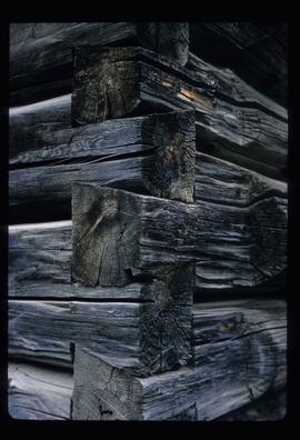
Image depicts the corner of a log house, the slide itself labels the picture as being from Barkerville, B.C. and also indicates the corner is an example of a "round log" dovetail joint.

Forman's General Store
2012.13.1.37.33 · Item · [1980?]
Parte de J. Kent Sedgwick fonds

Image depicts the abandoned and crumbling Forman's General Store somewhere in or near either Barkerville or Wells, B.C.

Church Interior
2012.13.1.6.026 · Item · May 1974
Parte de J. Kent Sedgwick fonds

Image depicts the interior of a church, possibly one in or near Barkerville, B.C.

Cottonwood House
2012.13.1.6.023 · Item · May 1974
Parte de J. Kent Sedgwick fonds

Image depicts the Cottonwood House at the Historic Site located in Barkerville, B.C.

House Interior
2012.13.1.6.027 · Item · May 1974
Parte de J. Kent Sedgwick fonds

Image depicts the interior of an old house, possibly the Cottonwood House, and most likely in or near Barkerville, B.C.

BC and Alberta Locations and Topics
2012.13.2.19 · Sub-séries · 1955-2011
Parte de J. Kent Sedgwick fonds

Subseries contains material collected and created by Kent Sedgwick for research on various areas in British Columbia and Alberta. Includes written notes by Kent Sedgwick, pamphlets, and newspaper clippings relating to towns and settlements. These areas include Quesnel, Likely, the Yukon Telegraph Trail, Barkerville, Wells, the Cariboo region, Fort Alexandria, Soda Creek, the Chilcotin region, Jasper, the Rocky Mountains, Mackenzie, Tumbler Ridge, the Peace River region, Fort St. James, the Omineca region, Kitimat, Lethbridge, the Bulkley Valley, and Fort Mcleod. These files cover a variety of topics including Chinese people in British Columbia, land settlement, tourism, and historic information on the regions.