Subseries consists of material collected by Kent Sedgwick for research regarding the communities along the East Line of the Grand Trunk Pacific Railway in Central British Columbia, particularly between Prince George and McBride. These communities and locations include, among others, Shelley, Willow River, Sinclair Mills, Longworth, Dunster, Tete Jaune, Valemount, Mount Robson, and the Yellowhead Pass. Research on these communities was conducted during Kent Sedgwick's involvement in the UNBC-led Upper Fraser Historical Geography Project. The files primarily consist of research notes, audio and transcripts of oral interviews, and photographs of the East Line communities.
Subseries consists of materials collected by Kent Sedgwick for research on the geography and natural resources in Prince George and its region. Includes material on the natural resource industry, including the opening of the McArthur Sawmill, the W. Lamb and Sons Lumber Sawmill, and mining; photocopied aerial photographs of Prince George; the climate, temperatures, and flooding; and the geographical features of Prince George.
File contains slides depicting logging and equipment. Most appear to be locations around Prince George.
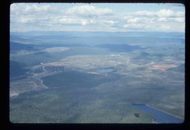
Image depicts an aerial view of areas that have been used for logging around Prince George, B.C.
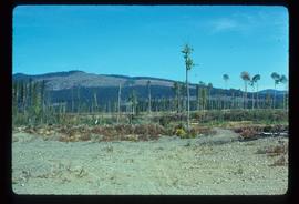
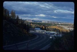
Image depicts a highway, and a section of mountain in the background which is bare due to clear-cut logging. It is possibly somewhere near Prince George, B.C.
Image depicts a logging area, and a section of mountain in the background which is bare due to clear-cut logging. The slide is also labelled "logging show." It is possibly somewhere near Prince George, B.C.
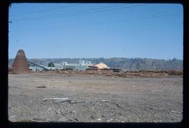
Image depicts a saw mill, possibly Lakeland Mills, with a beehive burner and numerous piles of logs in the foreground, in Prince George, B.C.
Image depicts logs being stripped of their bark at a saw mill in Prince George, B.C.
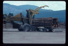
Image depicts a piece of heavy machinery lifting numerous logs off the back of a logging truck. It is likely located in Prince George, B.C.
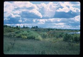
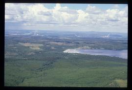
Image depicts the shore line and surrounding land of a lake or river at an airport, possibly in Prince George, B.C.
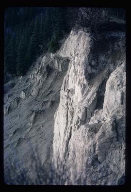
Image depicts a cutbank on the Nechako River in Prince George, B.C.
File contains slides depicting numerous recreational locations from various places in Canada.
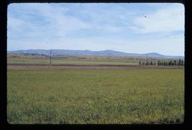
Image depicts Tabor Mountain in the distance, located in Prince George, B.C.
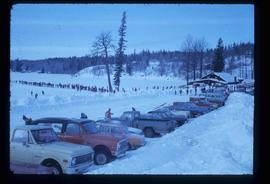
Image depicts a long line of people cross country skiing somewhere on Tabor Mountain in Prince George, B.C.
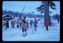
Image depicts a skier in a costume with a fake sword, somewhere on the Birchleg Ski route on Tabor Mountain in Prince George, B.C.
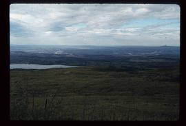
Image depicts the area surrounding Tabor Mountain. Prince George is slightly visible on the left side of the image in the background.
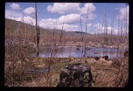
Image depicts a forest of dead trees on the slopes of Tabor Mountain in Prince George, B.C.
Image depicts a the Cottonwood Island Nature Park sign and map in Prince George, B.C.
Map depicts boundaries of study areas, including major study area, community study area, and the city of Prince George boundaries.
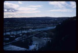
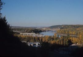
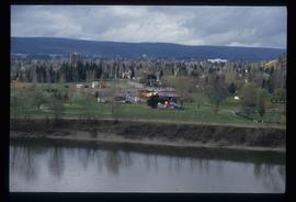
Image depicts a view of Prince George from the cutbanks on the Nechako river.
Image depicts a view of Peden Hill in Prince George, B.C.
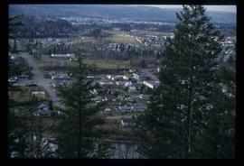
Image depicts Prince George from the view of Peden Hill.
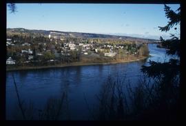
Image depicts a view of Prince George from Gunn Point in the L.C. Gunn Park looking north. Map coordinates 53°54'26.2"N 122°43'35.8"W.
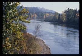
Image depicts a river, possibly the Nechako, in Prince George, B.C. Possibly taken from the Foothills Bridge.
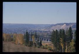
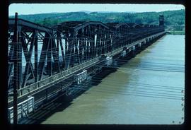
Image depicts the Grand Trunk Railway bridge across the Fraser River. Map coordinates 53°54'29.0"N 122°42'06.5"W
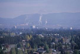
Image depicts Prince George, possibly with the Northwood Pulpmill in the background.
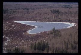
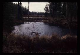
Image depicts Haldi Lake near Prince George, B.C.
Image depicts Eskers Park, near Prince George, B.C.
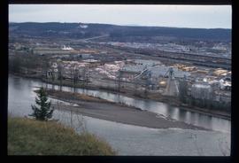
Image depicts the Northwood Pulpmill in Prince George, B.C. taken from above the Nechako River looking east. Map coordinates 53°56'00.0"N 122°44'29.7"W
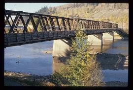
Image depicts a bridge in Prince George, B.C.
Image depicts a bridge in Prince George, B.C.
Image depicts a view of Prince George from an uncertain location.
Image depicts a view of Prince George.
Image depicts a view of Prince George.
Image depicts a sawmill in Prince George, B.C.
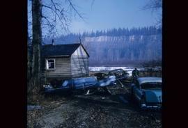
Image depicts several old, ruined cars and an unknown individual in Island Cache.
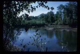
Image depicts what is possibly a small section of the Nechako River on Cottonwood Island.
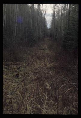
Image depicts a view of the south direction of the grade for the British Columbia Railway, which was formerly known as the Pacific Great Eastern until 1972. It is at an uncertain location, possibly near Woodpecker or Prince George.
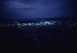
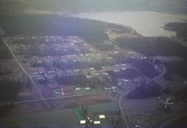
Image depicts Prince George at night from the cutbanks.
Image depicts Prince George near the Airport Road.
Image depicts the Tabor Lake Subdivision in Prince George, B.C.
Image depicts a view of Prince George from Gunn Point in the L.C. Gunn Park looking north. Map coordinates 53°54'26.2"N 122°43'35.8"W.
Image depicts a view of Prince George from Gunn Point in the L.C. Gunn Park looking north. Map coordinates 53°54'26.2"N 122°43'35.8"W.
Image depicts a view of Prince George from Gunn Point in the L.C. Gunn Park looking north. Map coordinates 53°54'26.2"N 122°43'35.8"W.
Image depicts a view of Prince George.
Image depicts a view of Tabor Lake.
Image depicts Prince George Sawmill taken from across the Nechako River looking southwest. Map coordinates 53°56'00.0"N 122°44'29.7"W
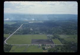
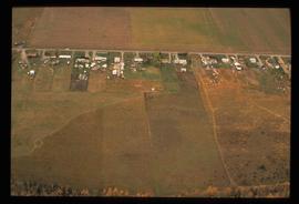
Image depicts an aerial view of what is possibly an outlying area of Prince George, B.C.
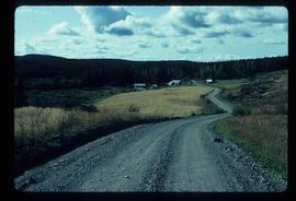
Image depicts a house on Blackwater Road.
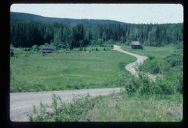
Image depicts an abandoned cabin and shed on Blackwater Road.
