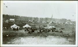
2009.5.3.99
·
Item
·
[1936?]
Part of Taylor-Baxter Family Photograph Collection
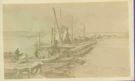
Cane floats in flooded area of camp, tent buildings and forest trees in background. It is believed that this photograph may depict the Island Cache in flood, at Prince George, BC.