Showing 581 results

Archival description
482 results with digital objects Show results with digital objects
J. Kent Sedgwick fonds
2012.13 · Archief · 1937-2011

This fonds consists of material created and collected by Kent Sedgwick, author, professor, Prince George urban planner, and prominent local historian. This body of records documents Sedgwick’s research interests in the history and geography of the Central Interior of British Columbia. The fonds also reflects his work as a Prince George Senior City Planner, his involvement in local community organizations, and his teaching at the College of New Caledonia and the University of Northern British Columbia.

The fonds includes:
1) Photographs taken by Kent Sedgwick across British Columbia, predominantly in the Central Interior region;
2) Research subject files consisting of original research documentation and collected reference material, predominantly focusing on topics relating to local history, city planning, and geography in the Prince George area and the British Columbia Central Interior;
3) Documentation of Kent Sedgwick’s community involvement, including records created over the course of his work with the Prince George Heritage Commission, , the Alexander Mackenzie Heritage Trail Association, and other local organizations;
4) Writings, publications, and lectures written, edited, or conducted by Kent Sedgwick;
5) Professorial records consisting of lectures and material relating to Sedgwick’s teaching appointments at the College of New Caledonia and the University of Northern British Columbia;
6) Maps collected by Kent Sedgwick covering historical and contemporary British Columbia.
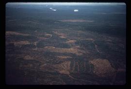
Zonder titel
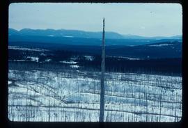
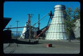
Logging
2012.13.1.122.12 · Stuk · 1977
Part of J. Kent Sedgwick fonds

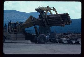
Image depicts a logging area somewhere near Prince George, B.C.

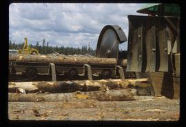
Sawmill - Saw
2012.13.1.122.18 · Stuk · June 1980
Part of J. Kent Sedgwick fonds

Image depicts a saw cutting a log in half at a saw mill in Prince George, B.C.

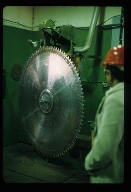
Large Indoor Saw
2012.13.1.122.19 · Stuk · June 1980
Part of J. Kent Sedgwick fonds

Image depicts a large saw at an indoor location, likely in a saw mill somewhere in Prince George, B.C.

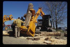
Tree Cutter
2012.13.1.122.26 · Stuk · May 1980
Part of J. Kent Sedgwick fonds

Image depicts two unidentified individuals examining a thick log still attached to the machine that cut it down. It is located somewhere in Prince George, B.C.

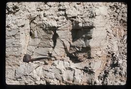
Varves
2012.13.1.124.16 · Stuk · Oct. 1975
Part of J. Kent Sedgwick fonds

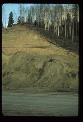
Image depicts an example of varves, an annual layer of sediment or rock, with a pipe used for reference size. It is possibly located at the airport in Prince George, B.C.

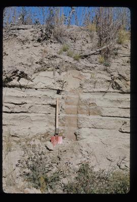
Sand Beds
2012.13.1.124.17 · Stuk · Oct. 1975
Part of J. Kent Sedgwick fonds

Image depicts sand beds with a shovel present for size reference. The slide places it at the "BCR site," possibly in Prince George, B.C.

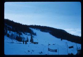
Slopes
2012.13.1.129.02 · Stuk · 1971
Part of J. Kent Sedgwick fonds

Image depicts the slopes of Tabor Mountain in Prince George, B.C.

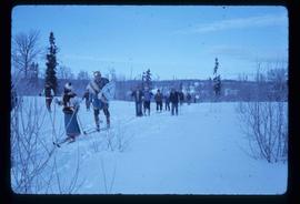
Skiing through Trees
2012.13.1.129.07 · Stuk · 1975
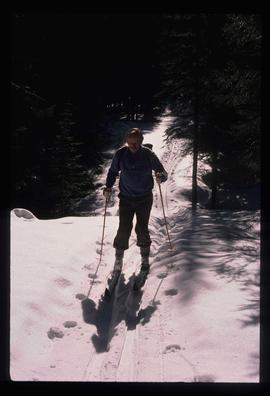
Part of J. Kent Sedgwick fonds

Image depicts numerous skiers cross-country skiing on a trail through trees on the Birchleg Ski route on Tabor Mountain in Prince George, B.C.

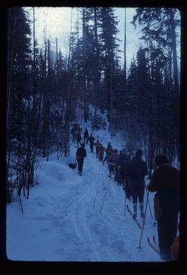
Skiers and Skis
2012.13.1.129.13 · Stuk · 1975
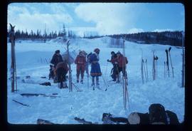
Part of J. Kent Sedgwick fonds

Image depicts numerous skiers and skis that are standing upright in in the snow on Tabor Mountain in Prince George, B.C.

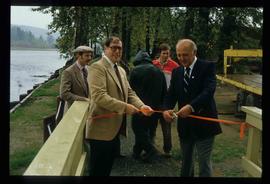
Cottonwood Park Opening
2012.13.1.133.12 · Stuk · 1985
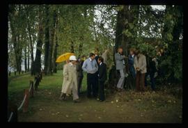
Part of J. Kent Sedgwick fonds

Image depicts Elmer Mercier, a former mayor of Prince George, B.C., cutting the ribbon to open Cottonwood Park's Heritage Trail.

2012.13.1.135.01.03 · Stuk · [between 1980 and 2000]
Part of J. Kent Sedgwick fonds

Photograph depicts a residential building at 1601 6th Avenue, the corner of 6th Avenue and Vancouver Street. Annotation on verso: "CUTE c-7, union, Vancouver/ 6th".

2012.13.1.135.01.26 · Stuk · [between 1980 and 2000]
Part of J. Kent Sedgwick fonds

Photograph depicts the old post office and federal government building at 1299 3rd Avenue prior to the coat of arms removal. Annotation on verso: "fed. govt bldg, (post office), c. 1990, before, coat of arms, removal".

"Millennium timeline"
2012.13.2.01.09.1 · Stuk · 29 Dec. 1999
Part of J. Kent Sedgwick fonds

Newspaper is a special edition of Prince George Citizen entitled "Millenium Timeline." The edition is about the new millennium and entering the twenty-first century.

"Millennium Report"
2012.13.2.01.09.3 · Stuk · Dec. 1999
Part of J. Kent Sedgwick fonds

The item is the millennium edition of The Prince George Free Press. The "Millenium Report" was one of two different inserts in an unknown December 1999 issue. The edition contains information about Prince George's past and speculation as to where Prince George will be in the future.

2012.13.2.02 · Deelreeks · 1941-2011
Part of J. Kent Sedgwick fonds

Subseries includes research material created and collected by Kent Sedgwick relating to land survey, development, and settlement in Prince George and British Columbia. Land surveys were conducted in British Columbia by surveyors George Dawson, the North Coast Land Company, Alfred R.C. Selwyn, and the Geological Survey of Canada during the late 19th and early 20th centuries. James C. Anderson and engineer J. Gill conducted topographical surveys for the Grand Trunk Pacific Railway on Fort George and the Indian Reserve. Surveyors and land plot companies developed the land for sale to promote settlement in the area. Also includes materials regarding the continued development of the City of Prince George throughout the 20th century. The files primarily consist of newspaper clippings, research notes, and photocopied documents.
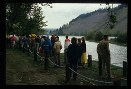
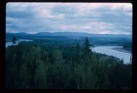
Fraser River
2012.13.1.3.002 · Stuk · Oct. 1970
Part of J. Kent Sedgwick fonds

Image depicts the Fraser River from Northwood Road in the Prince George area.

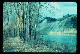
Cache Walk
2012.13.1.3.035 · Stuk · Oct. 1976
Part of J. Kent Sedgwick fonds

Image depicts a nature trail along the Nechako River at Island Cache looking west with the cutbanks in the background. Map coordinates 53°55'36.2"N 122°45'11.8"W

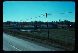
Powerline
2012.13.1.3.037 · Stuk · Nov. 1977
Part of J. Kent Sedgwick fonds

Image depicts power lines east of the pulp mills in Prince George, B.C.

Logging
2012.13.1.3.043 · Stuk · Nov. 1977
Part of J. Kent Sedgwick fonds

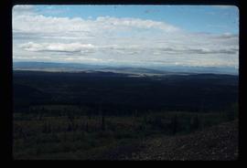
Image depicts an area undergoing logging somewhere in Prince George, B.C.