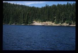
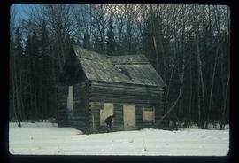
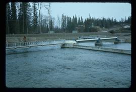
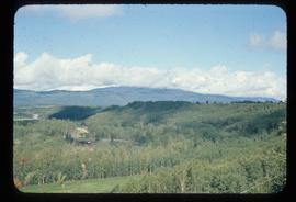
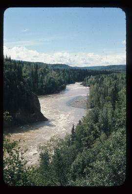
Image depicts a green car among some trees on Cottonwood Island.
Image depicts a nature trail on Cottonwood Island.
Image depicts a large group of individuals preparing to hike up Mt. Robson.
Image depicts a man on the hiking trail near Mt. Robson, with a river in the background; it is possibly the Robson River.
Image depicts a river, possibly the Robson River.
Image depicts a camp and what is likely Mt. Robson in the background.
Image depicts two unknown individuals standing near a waterfall somewhere near Mt. Robson.
Image depicts the Berg Glacier and Mt. Robson.
Image depicts a group of people standing on the foot of a glacier, possibly the Robson Glacier.
Image depicts a group of people hiking on a glacier, possibly the Robson Glacier.
Image depicts three unknown individuals at a campsite.
Image depicts a campsite somewhere near Berg Lake.
Image depicts an unknown individual crouching by a lake somewhere near Mt. Robson.
Image depicts a view of Mt. Robson Provincial Park.
Image depicts Kent Sedgwick smoking a pipe at camp, with two other unknown individuals nearby.
Image depicts Kent Sedgwick pointing out what is possibly the Robson Glacier in the background. Another, unknown individual is also present in the image.
Image depicts a group of hikers hiking up a slope.
Image depicts an unknown individual climbing the side of a large boulder.
Image depicts a group of hikers somewhere in Mt. Robson Provincial Park.
Image depicts two unknown individuals standing by a glacier somewhere in Mt. Robson Provincial Park.
Image depicts group of people at a camp somewhere in Mt. Robson Provincial Park.
Image depicts a group of people preparing to depart on a trip. Location is uncertain, though it is possibly in Prince George, B.C.
Image depicts a green canoe sitting in the water on the shore of Carp Lake.
Image depicts two boats on the shore of Carp Lake.
Image depicts a low rain cloud over Carp Lake, and a man on a boat on the lake.
Image depicts Carp Lake at dusk.
Image depicts light from an unidentified light-source shining on a long, vertical object of an uncertain nature, though it is possibly a tree. The rest of the image is too dark to make out.
Image depicts a woman on a boat, possibly on War Lake.
Image depicts a boat launch; it is possibly at War Lake in Carp Lake Provincial Park.
Image depicts a building from the 1880's in Fort Fraser.
Image depicts Blackwater River, B.C.
Image depicts a couple of old, collapsing buildings at the Nautley site in Fort Fraser, B.C.
Image depicts numerous totem poles in Kispiox, B.C.
Image depicts the Skeena River at Hazelton, B.C.
Image depicts the Fulton River.
Image depicts a small group of people standing near the Bulkley River at Moricetown, B.C.
Image depicts a view of the scenery between Smithers and Telkwa, B.C.
Image depicts the Bulkley River running through Moricetown Canyon.
Image depicts Noralee, B.C.
Image depicts a nature trail on Cottonwood Island.
Image depicts Cottonwood Island.
Image depicts a small stream somewhere on Cottonwood Island.
Image depicts a nature trail on Cottonwood Island.
Image depicts a house in Upper Fraser with the residential area in the background. Map coordinates 54°07'02.8"N 121°56'37.5"W
Image depicts an unknown individual and a dog on a bridge over what is possibly the Robson River.
Image depicts a waterfall in what is possibly the Robson River.