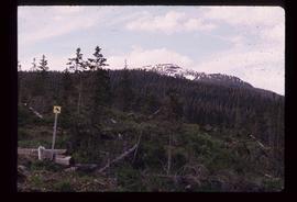
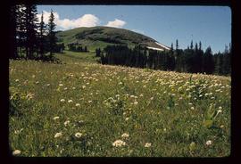
Image depicts the start of the Raven trail, with the view angled towards Raven Peak in the distance.
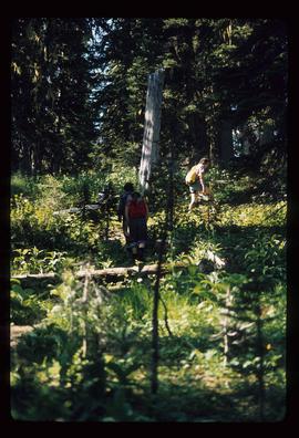
Image depicts several individuals walking the Raven trail.
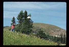
Image depicts a woman standing in a field, with a sign in a tree behind her pointing the way towards the Raven Cabin.
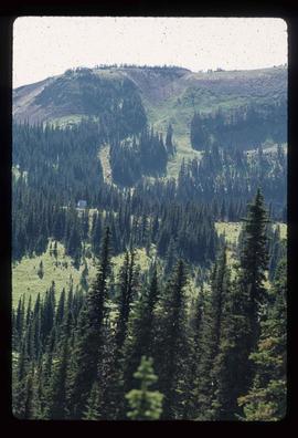
Image depicts a small grey building, possibly Raven Cabin, sitting at the foot of a ridge.
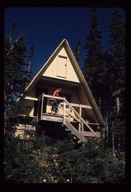
Image depicts a woman standing on the porch of a hut located by Raven Lake.
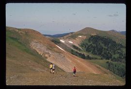
Image depicts several individuals hiking in the area surrounding Raven Lake.
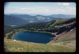
Image depicts a view of Raven Lake.
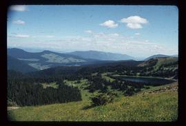
Image depicts a view of Raven Lake and the surrounding area.
Image depicts a small section of the area surrounding Raven Lake.
File contains slides depicting Sechelt, B.C.
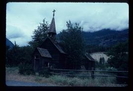
Image depicts an old, abandoned church located somewhere in Seton Portage, B.C.
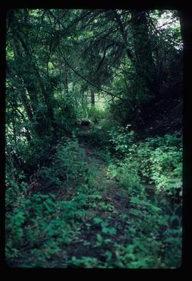
Image depicts a trail through the forest somewhere in or near Seton Portage, B.C.
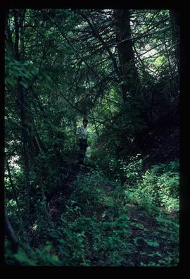
Image depicts an individual, possibly Kent Sedgwick, standing on a trail through a forest somewhere in or around Seton Portage, B.C.
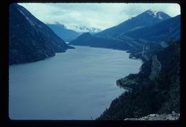
Image depicts a view of Anderson Lake near Seton Portage, B.C.
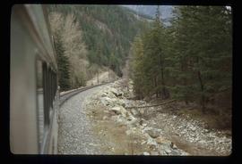
Image depicts the side of a train and the tracks it is on, somewhere in the Seton Portage area.
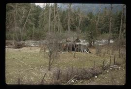
Image depicts a collapsing shack somewhere in the Seton Portage area.
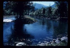
Image depicts water flowing through an irrigation channel in an orchard, somewhere in or near Seton Portage, B.C.
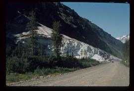
Image depicts a glacier on the side of a road at an uncertain location; the slide labels it as "avalanche glac."
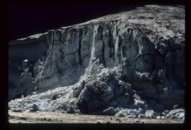
Image depicts a glacier at an uncertain location; the slide labels it as "avalanche glac."
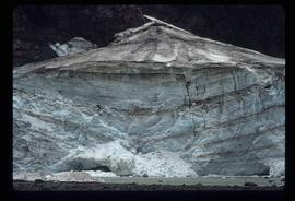
Image depicts a glacier at an uncertain location; the slide is labelled "after two days," and shows how much it has melted.
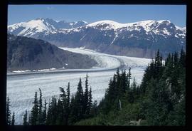
Image depicts Bear Glacier in the foreground and numerous mountain peaks in the background in Bear Glacier Provincial Park.
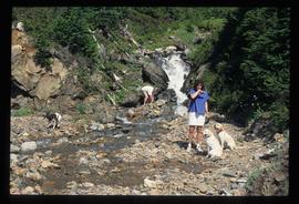
Image depicts two individuals and three dogs standing by a stream at an uncertain location, possibly somewhere in Bear Glacier Provincial Park. The woman in purple is possibly Sue Sedgwick.
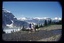
Image depicts Sue and Kent Sedgwick with two dogs, standing with the Bear Glacier in the background.
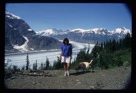
Image depicts Sue Sedgwick with a dog, standing with the Bear Glacier in the background.
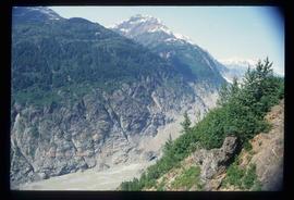
Image depicts numerous mountains surrounding the Bear Glacier.
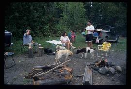
Image depicts Sue Sedgwick seated in a lawn chair near a campfire and several other unidentified individuals, as well as three dogs. The location is uncertain.
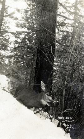
Photograph depicts a a mule deer hunting kill in Lillooet, BC.
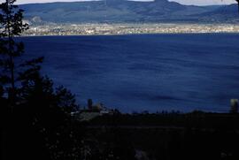
Slide depicts Kelowna and Casa Loma photographed during the day from across the Okanagan Lake in the Lakeview Heights area. Original slide index description: "Kel & Casa Loma from Lakeview Hts."
These remote-sensing aerial photographs were taken by Lockwood Survey Corporation Ltd. under contract for the B.C. Forest Service. Some photographs are annotated to show logging activity; clearcuts, slash piles, log booms, and tree debris on the water are also visible in some of the images. No detailed location information or index accompanies the photographs. These historically important aerial photographs depict Williston Lake soon after its creation in 1968 with the building of the W.A.C. Bennett Dam on the Peace River. Also depicted are the rivers and tributaries that empty into the Williston Reservoir, such as the Finlay River, the Ospika River, and the Omineca River.
The identification coding on these photographs can be interpreted as follows:
- The largest number on the leftmost side is the frame number for the individual photograph.
- The following code to the right in the format "B) 69-53" is currently unknown, but may refer to an internal project number for the Lockwood Survey Corporation.
- The 6" may refer to the camera's focal length in inches.
- Next is "17,150 ASL" which is 17,150 feet Above Sea Level.
- Following is "152.52" which refers to the camera's focal length in millimeters, which equals 6 inches.
- The "W1308" may refer to the reel, but that is unconfirmed.
- "9 SEP 69" is the date the photos were taken.
These remote-sensing aerial photographs were taken by Lockwood Survey Corporation Ltd. under contract for the B.C. Forest Service. Some photographs are annotated to show logging activity; clearcuts, slash piles, log booms, and tree debris on the water are also visible in some of the images. No detailed location information or index accompanies the photographs. These historically important aerial photographs depict Williston Lake soon after its creation in 1968 with the building of the W.A.C. Bennett Dam on the Peace River. Also depicted are the rivers and tributaries that empty into the Williston Reservoir, such as the Finlay River, the Ospika River, and the Omineca River.
The identification coding on these photographs can be interpreted as follows:
- The largest number on the leftmost side is the frame number for the individual photograph.
- The following code to the right in the format "B) 70-38" is currently unknown, but may refer to an internal project number for the Lockwood Survey Corporation.
- The 6" may refer to the camera's focal length in inches.
- Next is "17,150 ASL" which is 17,150 feet Above Sea Level.
- Following is "152.63" which refers to the camera's focal length in millimeters, which equals 6 inches.
- The "W1339" may refer to the reel, but that is unconfirmed.
- "1 AUG 70" is the date the photos were taken.
File consists of records and textual material related to rare and endangered species (predominantly in British Columbia) collected by Grant Hazelwood. Highlights include:
- John Kelson for Kitamaat Village Council, "Investigation of Potential Marbled Murrelet Utilization of Lots 305 and 306", 1995
- Listings of rare and endangered species in British Columbia, various years
- Robert Jacobsen, "Legal Aspects of Critical Habitat Determinations", 1978? (reproduction)
- Grant Hazelwood and P.J. Bandy, "Wildlife Management Plan and Policy for Non-Game Species" (draft), 1973
- W. Grant Hazelwood, "Species of Management Concern on Kitsumkalum & Zymacord Drainages", Sept. 2001
Item is a BC Ministry of Environment and Parks report entitled "1987 Coastal Skeena Moose Survey".
