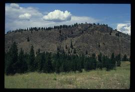
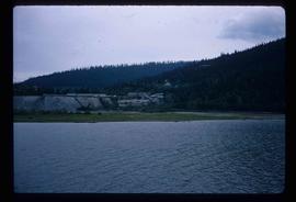
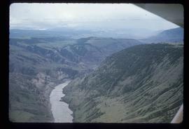
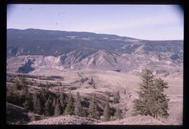
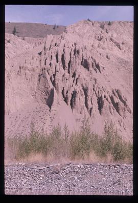
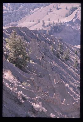
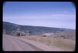
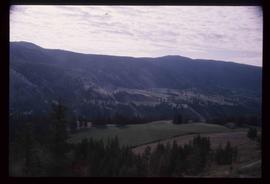
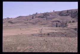
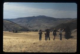
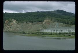
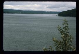
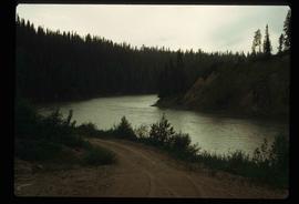
Image depicts a hill in kettle Valley B.C.
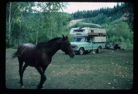
Image depicts a horse near a camper somewhere in Quesnelle Forks, B.C.
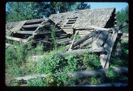
Image depicts a collapsed cabin in Quesnelle Forks, B.C.
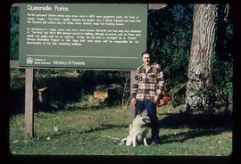
Image depicts Kent Sedgwick standing in front of a sign with a dog in Quesnelle Forks, B.C. The sign describes the history of the site, which began as a mining camp in 1859, but was later completely abandoned after a fire in 1866. It is now managed as a Forest Service Recreation Project.
Image depicts Wells, B.C.
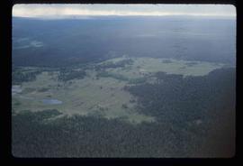
Image depicts an aerial view of a plateau near the Fraser River.
Image depicts an aerial view of a section of land, likely near the Fraser River, that is possibly either a slump or part of a mining operation. The slide is labelled "slump or mining."
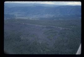
Image depicts an aerial view of the land near the Fraser River. The Fraser River is barely visible on the right side of the image.
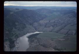
Image depicts an aerial view of the Fraser River.
Image depicts an aerial view of the Fraser River.
Image depicts a view of a mountainous landscape at an uncertain location.
Image depicts a spiky rock formation at an uncertain location.
Image depicts ridge-like rock formations at an uncertain location, though possibly somewhere near the Fraser River.
Image depicts a view of the landscape in an uncertain location, though possibly somewhere near the Fraser River.
Image depicts a view of the landscape in an uncertain location, though possibly somewhere near the Fraser River.
Image depicts a view of the scenery at an uncertain location with numerous individuals, possibly tourists, present. It is possibly somewhere near the Fraser River.
Image depicts a view of the landscape at an unknown location with a group of people, possibly tourists, present. It is possibly near the Fraser River.
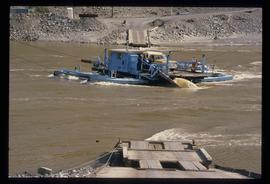
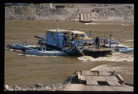
Image depicts a ferry on a river, possibly the Fraser River in the Lillooet area.
Image depicts a ferry on a river, possibly the Fraser River in the Lillooet area.
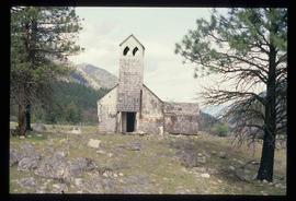
Image depicts an old and abandoned, collapsing church at an uncertain location.
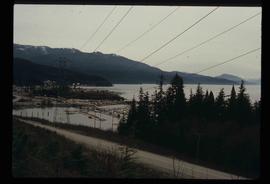
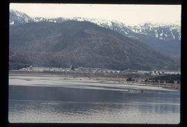
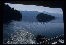
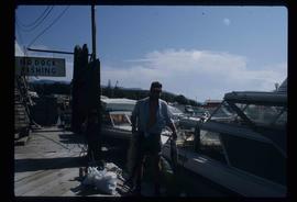
File contains slides depicting places in Kitimat, B.C.
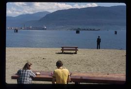
Image depicts two individuals seated at a picnic table while a third stands closer to the water on a beach somewhere in Kitimat, B.C. What appears to be a harbour can be seen on the water.
Image depicts a harbour in Kitimat, B.C.
Image depicts what is possibly the Alcan smelter in Kitimat, B.C.
Image depicts what is possibly either the Hecate Strait or Minette Bay from somewhere near Kitimat, B.C.
Image depicts a man holding two fish on a dock in Kitimat, B.C.
File contains slides depicting places in and around the areas of Kitwanga and Meziadin Lake Provincial Park.
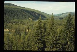
Image depicts the forest surrounding Quesnelle Forks.
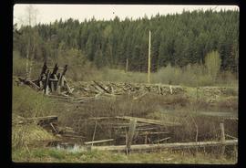
Image depicts a collapsed wooden structure, possibly a bridge, which is likely located somewhere near Quesnelle Forks.
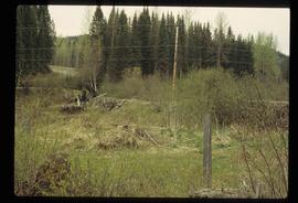
Image depicts a dirt road and power-lines running through the woods, possibly near Quesnelle Forks.
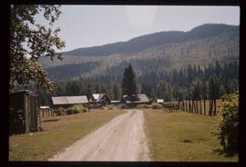
Image depicts the townsite of Keithley Creek, B.C.
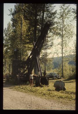
Image depicts a woman standing next to a steam shovel, located in Quesnelle Forks.
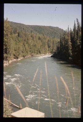
Image depicts the Cariboo River.
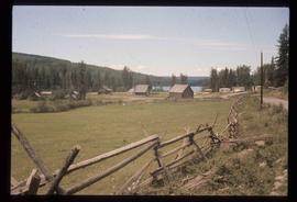
Image depicts the old log buildings of the town of Hydraulic, B.C.
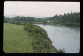
Image depicts the Germansen River, with the buildings of Germansen Landing visible on the other side.
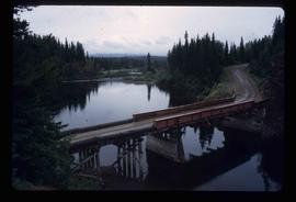
Image depicts a bridge over the Nation River somewhere south of Manson Creek, B.C.
Image depicts the road to Manson Creek, B.C.
Image depicts the road to Manson Creek, B.C.
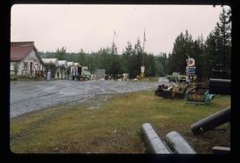
Image depicts Manson Creek, B.C.
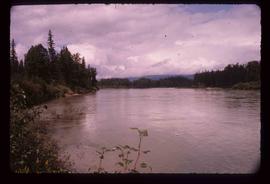
Image depicts the McGregor River at an uncertain location.
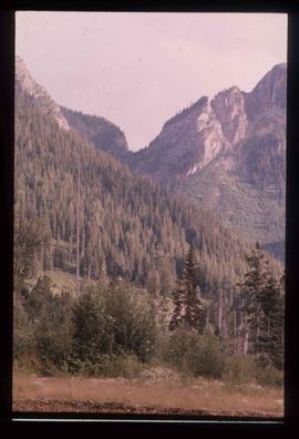
Image depicts a view of McGregor Valley from an uncertain location.
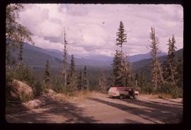
Image depicts a red vehicle parked on the side of the road with a view of the McGregor Valley behind it. The slide is labelled "dam site."
Image depicts a pass in the McGregor Valley.
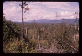
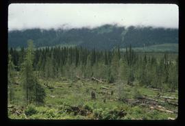
Image depicts numerous felled trees somewhere in the McGregor Valley.
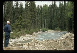
Image depicts a man, possibly Ted Faulkner, looking at a creek.
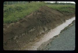
Image depicts a ditch of water at an uncertain location.
Image depicts a view of Giscome with a train passing through.
Image depicts the site of Giscome's first quarry, with Eaglet Lake located in the foreground.
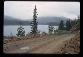
Image depicts an eastern view over Eaglet Lake.
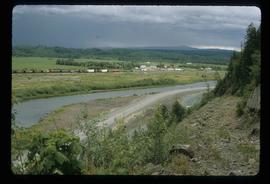
Image depicts what is possibly the McGregor River.
