2013.6.36.1.020.12
·
Item
·
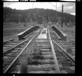
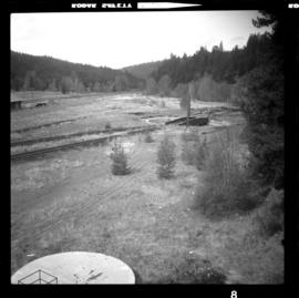
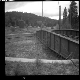
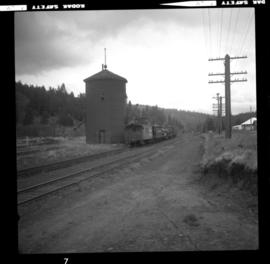
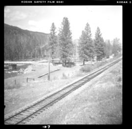
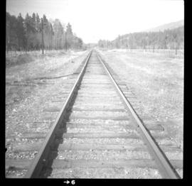
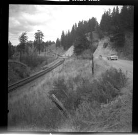
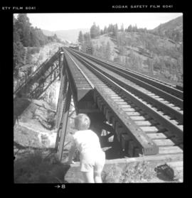
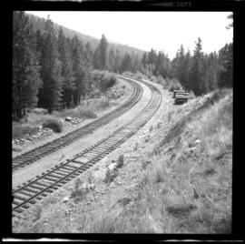
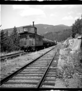
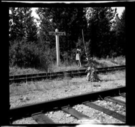
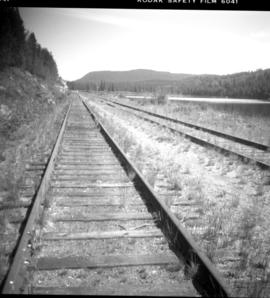
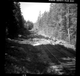
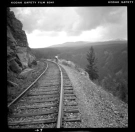
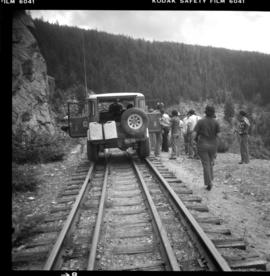
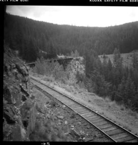
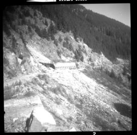
15 Oct. 1972
Parte de David Davies Railway Collection
Photograph depicts the ex CPR Coquihalla Line, looking northeast between Iago and Romeo depots, at about mile 29 from Brookmere. The tunnel was built of concrete and the west end was blocked by a rock fall in 1971. The grade is now used by auto traffic, which is about 20-50 cars per day in summer weekends. The grade at this point is 1 in 49.