2023.2.2.8.08.17
·
Stuk
·
2003
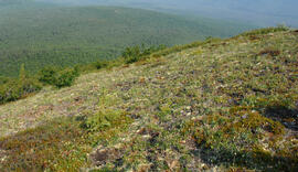
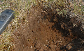
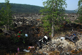
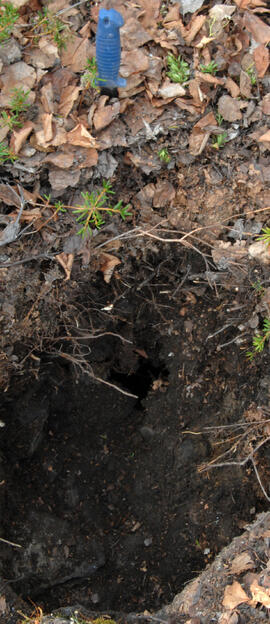
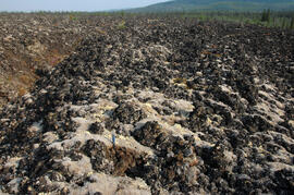
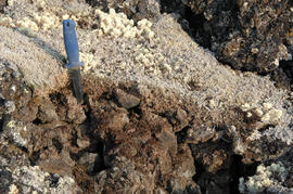
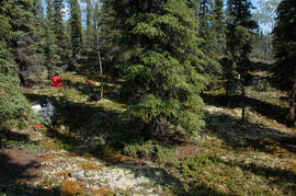
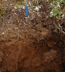
Part of Dr. Paul Sanborn fonds