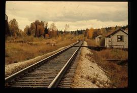
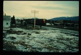
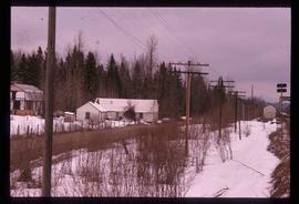
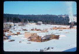
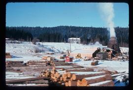
Image depicts railway tracks and buildings with a beehive burner on the left. The location is likely Sinclair Mills, B.C. Map coordinates 54°01'17.4"N 121°40'53.0"W
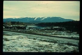
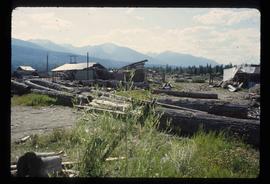
Image depicts a pile of old logs on the bank of the Fraser River with mountains in the background. In the foreground, a set of railway tracks run through an uncertain location, likely Upper Fraser, B.C.
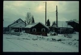
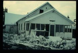
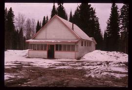
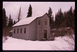
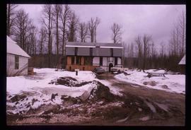
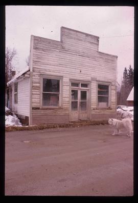
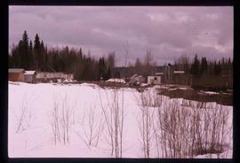
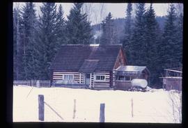
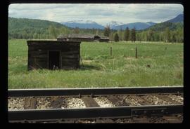
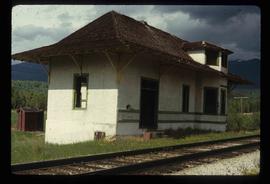
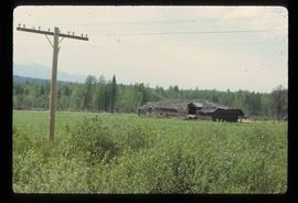
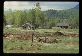
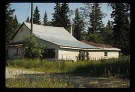
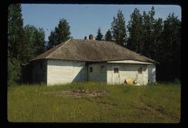
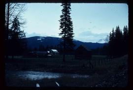
Image depicts several old buildings. The location is uncertain.
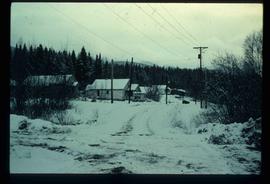
Image depicts a snow-covered road with vehicle tracks, and several houses. The location is uncertain.
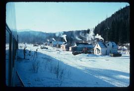
Image depicts a train and several unidentified individuals who appear to be waiting for it as it passes through Sinclair Mills, BC.
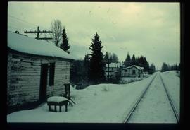
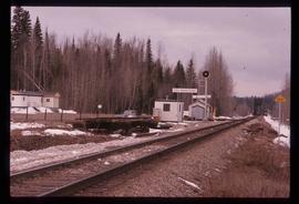
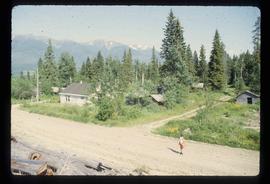
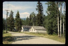
Image depicts railway tracks on the right side of the image, and several old houses alongside it. The location is uncertain.
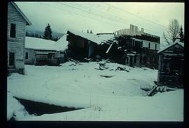
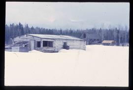
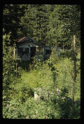
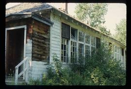
Image depicts an old, half-collapsed building at an uncertain location.
Image depicts a cookhouse at Sinclair Mills, B.C.
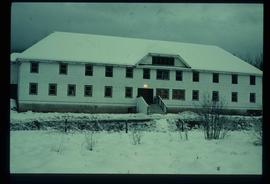
Image depicts bunkhouse, restaurant and store in Sinclair Mills, B.C. Map coordinates 54°01'17.4"N 121°40'53.0"W
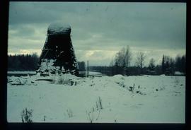
Image depicts a beehive burner covered in snow in Sinclair Mills, B.C. Map coordinates 54°01'17.4"N 121°40'53.0"W
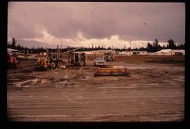
Image depicts several eighteen wheelers at the Pass Lake Road and Upper Fraser Road intersection with numerous houses and buildings in the background in McGregor, B.C. Map coordinates 54°04'38.1"N 121°50'00.1"W
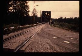
Image depicts the Hansard railroad bridge looking west. Map coordinates 54°04'37.9"N 121°50'46.3"W
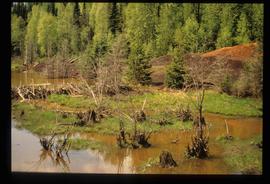
Image depicts a flooded area with an old sawdust pile in the background. Likely near McGregor, B.C.
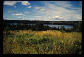
Image depicts the Fraser River, likely near the Hansard railroad bridge.
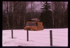
Image depicts a strangely shaped orange vehicle somewhere in Dome Creek, B.C.
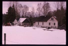
Image depicts a farmhouse in Dome Creek, B.C.
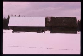
Image depicts a horse and a barn in Dome Creek, B.C.
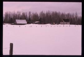
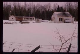
Image depicts a small farm located in Dome Creek, B.C.
Image depicts the school and teacherage located in Dome Creek, B.C.
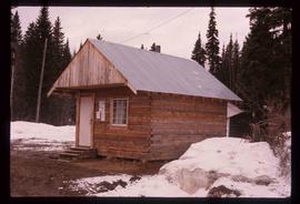
Image depicts a small shack that became the later post office in Dome Creek, B.C.
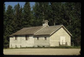
Image depicts the community hall in Dome Creek, B.C.
Image depicts a Catholic Church in Dome Creek, B.C.
Image depicts a house somewhere in Dome Creek, B.C.
Image depicts an old building that used to be a store and post office in Dome Creek, B.C.
Image depicts several houses in Dome Creek, B.C.
Image depicts the CN Station in Dome Creek, B.C.
Image depicts what is possibly the CN Station in Dome Creek, B.C.
Image depicts an old, unused log cabin somewhere in Dome Creek, B.C.
Image depicts a log cabin somewhere in Dome Creek, B.C.
Image depicts a set of rail road tracks and an old, collapsing log building somewhere in Goat River, B.C.
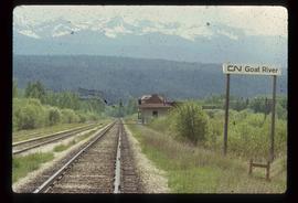
Image depicts the CN Railway and Station at Goat River, B.C.
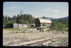
Image depicts an old, collapsing log building somewhere in Goat River, B.C.
Image depicts a cabin and several sheds somewhere in Goat River, B.C.
Image depicts the CN Railway and Station at Goat River, B.C.
Image depicts what appears to be a part of the old, abandoned mill in Lamming Mills, B.C.
Image depicts a small section of the area surrounding Lamming Mills, B.C.
Image depicts what appears to be the old, abandoned mill in Lamming Mills, B.C.
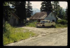
Image depicts several old houses and an old, yellow pick-up in Lamming Mills, B.C.
Image depicts an old, boarded-up store/office in Lamming Mills, B.C.
Image depicts the old, boarded-up community hall in Lamming Mills, B.C.
Image depicts a boarded-up house in Lamming Mills, B.C.
Image depicts several boarded-up houses in Lamming Mills, B.C.
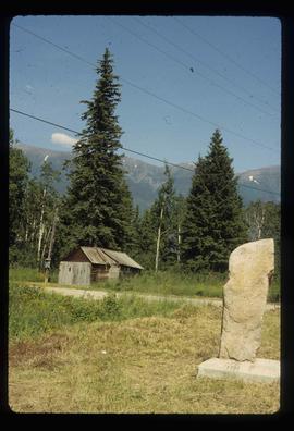
Image depicts a stone marker in Lamming Mills, B.C.
Image depicts an old, boarded-up school building at an uncertain location.
Image depicts the old school building in Lamming Mills, B.C.
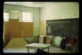
Image depicts a snowman drawn on the chalkboard of what appears to be an unused school, possibly in Lamming Mills, B.C. The slide is labelled "note board school."
Image depicts a row of houses and the side of a train in Crescent Spur, B.C.
Image depicts what appears to be a small mill in the community of Crescent Spur, B.C.
Image depicts what appears to be a small mill in the community of Crescent Spur, B.C.
Image depicts several buildings in the community of Loos, B.C.
