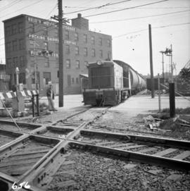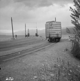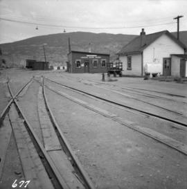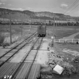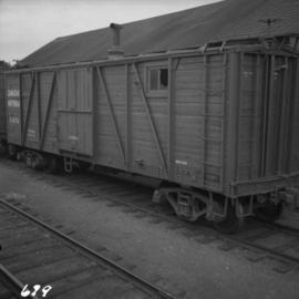
2013.6.36.1.008.41
·
Item
·
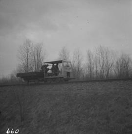
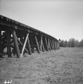
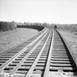
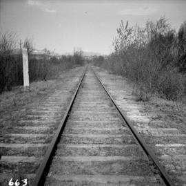
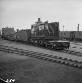
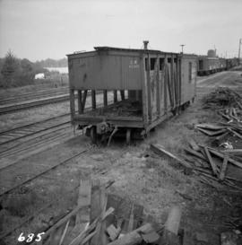
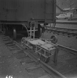
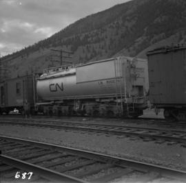
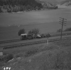
Mar. 1965
Part of David Davies Railway Collection
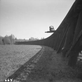
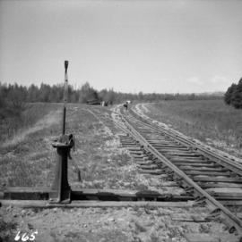
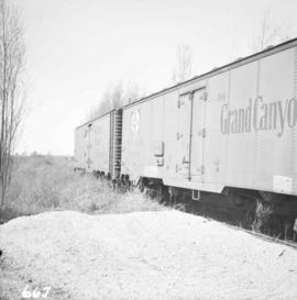
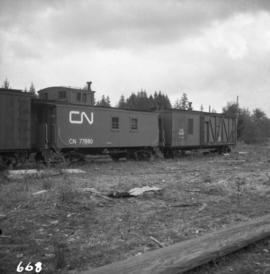
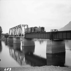
Photograph depicts a work crew train on the B.C. Electric Railway trackage, just south of the north arm crossing of the Fraser River on Lulu Island. The crews are working on re-routing the track to Steveston at this point.