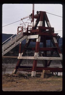
2012.13.1.47.14
·
Pièce
·
1967
Fait partie de J. Kent Sedgwick fonds
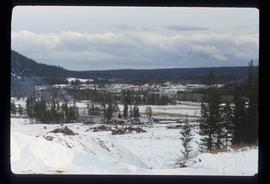
Image depicts the mostly frozen Place Creek Falls.