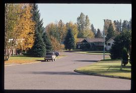
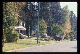
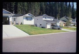
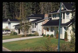
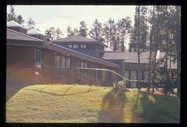
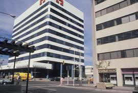
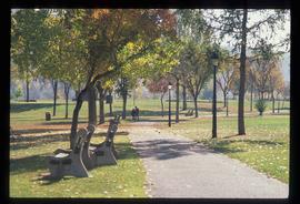
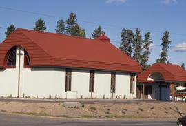
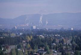
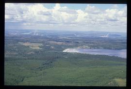
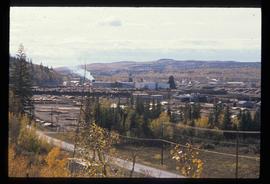
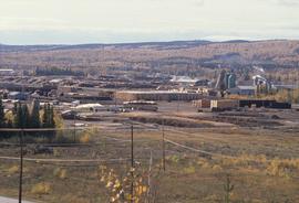
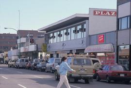
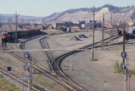
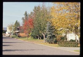
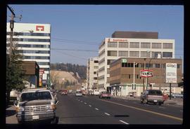
Image depicts the Seymour Subdivision in Prince George, B.C.
Image depicts the Seymour Subdivision in Prince George, B.C.
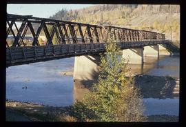
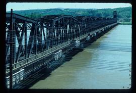
Image depicts a bridge in Prince George, B.C.
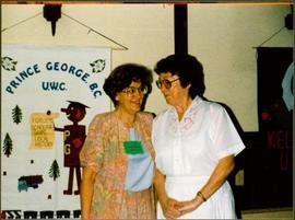
Photograph depicts Moran standing to right of unidentified woman. Banner hung in background reads: "PRINCE GEORGE B.C. / U.W.C / FORUMS SCHOLARSHIPS / LOCAL HISTORY". Photograph taken during a three day meeting of the B.C. Council of the Canadian Federation of University Women, to honour the 25th anniversary of the Prince George club, and release the new edition of their book 'Prince George Street Names: Our History'.
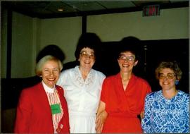
Photograph depicts Moran standing second from left in group on four women. Photograph taken during a three day meeting of the B.C. Council of the Canadian Federation of University Women, to honour the 25th anniversary of the Prince George club, and release the new edition of their book 'Prince George Street Names: Our History'.Handwritten annotation on recto of photograph: "4-7 Conf".
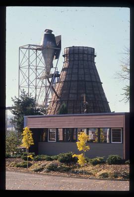
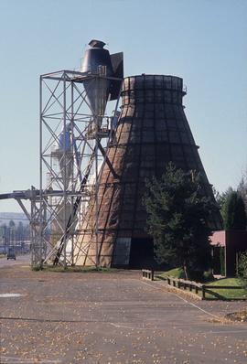
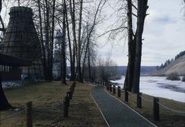
Image depicts a Beehive Burner along the Nechako on River Road. Map coordinates 53°55'34.1"N 122°44'58.0"W
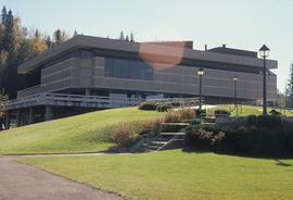
Image depicts the Prince George Public Library (Bob Harkins Branch). Map coordinates 53°54'44.6"N 122°45'01.7"W
Image depicts a neighbourhood on North Meadows Road in Prince George, B.C.
Image depicts a neighbourhood on North Meadows Road in Prince George, B.C.
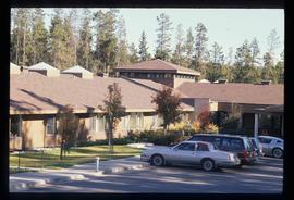
Image depicts Parkside Intermediate Care Home on Ospika Boulevard in Prince George. Map coordinates 53°55'02.6"N 122°47'41.6"W
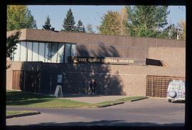
Image depicts the Fort George Regional Museum in Prince George, B.C. Map coordinates 53°54'18.6"N 122°44'09.8"W
Image depicts 3rd Ave at Victoria St. Map coordinates 53°55'03.9"N 122°44'54.8"W
Image depicts the Fort George Par, which was renamed Lheidli T'enneh Memorial Park in 2015. Map coordinates 53°54'30.2"N 122°43'57.4"W
Image depicts the Salvation Army on Ospika Boulevard in Prince George, B.C. Map coordinates 53°55'02.6"N 122°47'41.6"W
Image depicts a view of Prince George.
Image depicts a view of Tabor Lake.
Image depicts the Lakeland Sawmill in Prince George, B.C, identified by the beehive burners; the one with white smoke belonged to Pas Lumber Co. which was bought out by Lakeland in 1987.
Image depicts the Lakeland Sawmill in Prince George, B.C.
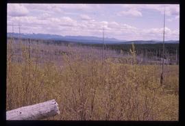
Image depicts a forest of dead trees on the slopes of Tabor Mountain in Prince George, B.C.
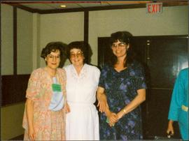
Photograph depicts Moran standing between two unidentified women. Fourth woman semi-visible on far right. Photograph taken during a three day meeting of the B.C. Council of the Canadian Federation of University Women, to honour the 25th anniversary of the Prince George club, and release the new edition of their book 'Prince George Street Names: Our History'.
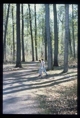
Image depicts a couple walking through a nature trail in Cottonwood Island Park. Map coordinates 53°55'23.6"N 122°43'53.8"W
Image depicts a Beehive Burner along the Nechako on River Road. Map coordinates 53°55'34.1"N 122°44'58.0"W.
Image depicts the cutbanks on the other side of the Nechako, taken from the nature trail at Island Cache. Map coordinates 53°55'34.6"N 122°45'52.4"W
Image depicts Parkside Intermediate Care Home on Ospika Boulevard in Prince George. Map coordinates 53°55'02.6"N 122°47'41.6"W
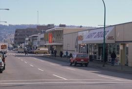
Image depicts 4th Ave at Brunswick St. and the following businesses: Hart Drugs, The Yarn Barn, and Saveco. Map coordinates 53°54'59.9"N 122°44'52.9"W
Image depicts 4th Ave at Quebec St, showing the following businesses: The Yarn Barn, Golden Chalice Jewellers, Dandy Lines, Ultrasport, and Saveco. Map coordinates 53°54'58.6"N 122°44'47.5"W
Image depicts the Northwood pulpmill in Prince George B.C.
Image depicts a number of trains in the CNR train yard taken from River Road in Prince George, B.C. Map coordinates 53°54'51.5"N 122°43'29.6"W
Image depicts a view of Blackburn Schools, possibly taken from Tabor Mountain.
Image depicts Prince George, possibly with the Northwood Pulpmill in the background.
Image depicts the Nechako Subdivision in Prince George, B.C.
Image depicts downtown Prince George, B.C.
Image depicts a bridge in Prince George, B.C.
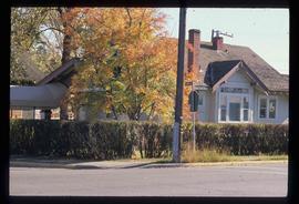
Image depicts a house on the corner of 7th Ave and Vancouver Street in Prince George, B.C.
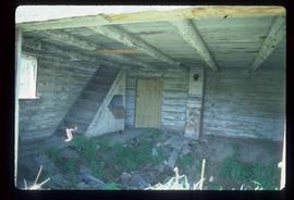
Image depicts the interior of an abandoned, deteriorating cabin on Blackwater Road.
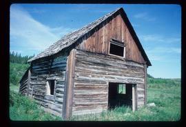
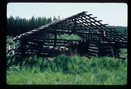
Image depicts an abandoned, deteriorating cabin on Blackwater Road.
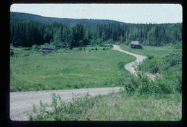
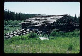
Image depicts an abandoned cabin and shed on Blackwater Road.
Image depicts a shed on Blackwater Road.
Image depicts a shed on Blackwater Road.
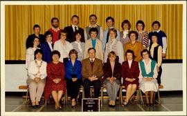
Photograph depicts group of 23 men and women posed for photo in gymnasium. Plaque in foreground reads "QUINSON ELEMENTARY STAFF 1985 86". Bridget Moran stands third from left in middle row.
Image depicts a bridge in Prince George, B.C.
Image depicts a nature trail in Cottonwood Island Park by a beehive burner. Map coordinates 53°55'23.6"N 122°43'53.8"W
Image depicts an aerial view of Fort George Park.
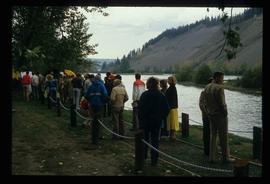
Image depicts a large crowd of people on a section of the Heritage Trail on Cottonwood Island in Prince George, B.C.
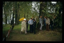
Image depicts a crowd of people in Cottonwood Park in Prince George, B.C.
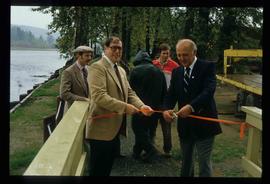
Image depicts Elmer Mercier, a former mayor of Prince George, B.C., cutting the ribbon to open Cottonwood Park's Heritage Trail.
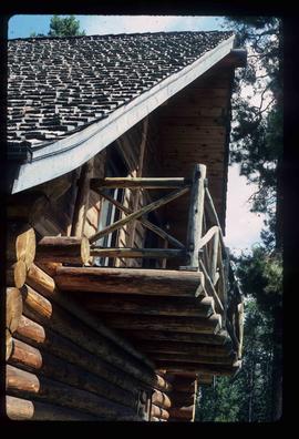
Image depicts the balcony of a log house, likely somewhere in or near Prince George B.C.
Image depicts a the Cottonwood Island Nature Park sign and map in Prince George, B.C.
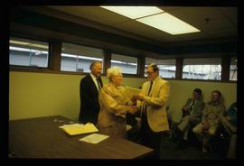
Image depicts a man and woman shaking hands in a building at an uncertain location, possibly in Cottonwood Park. The man standing behind the two is possibly Elmer Mercier, a former mayor of Prince George, B.C.
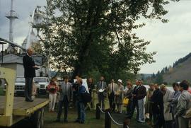
Image depicts a group of people in Cottonwood Park with an individual, possibly former mayor Elmer Mercier, making an announcement.
