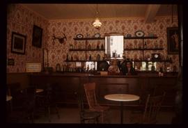
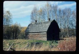
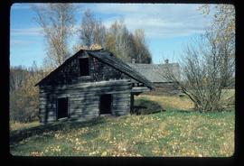
2012.13.1.6.037
·
Pièce
·
July 1976
Fait partie de J. Kent Sedgwick fonds
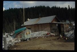
Image depicts the Wake Up Jake Saloon in Barkerville, as well as several other buildings.