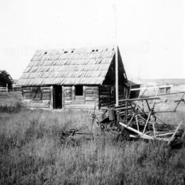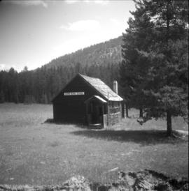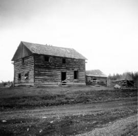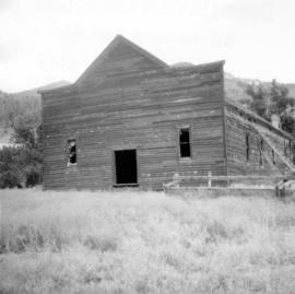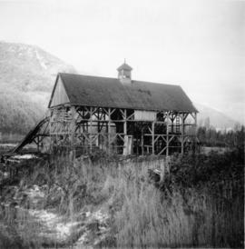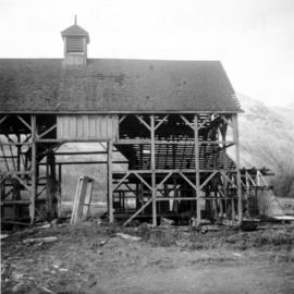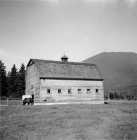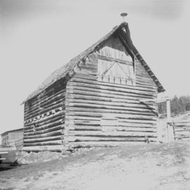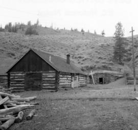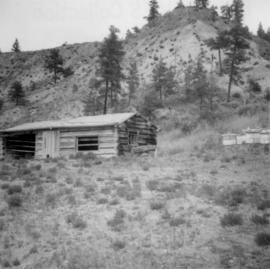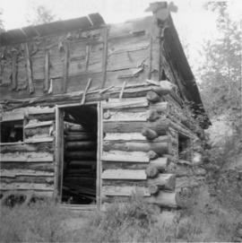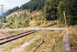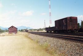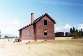
2013.6.36.1.078.05
·
Item
·
[20 June 1972]
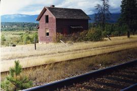
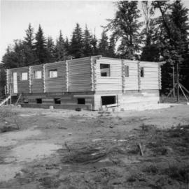
Part of David Davies Railway Collection
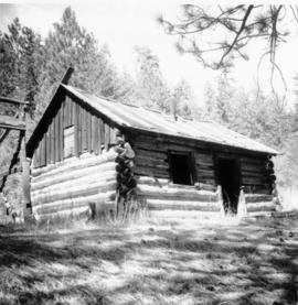
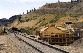
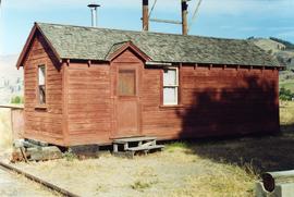
Photograph depicts a new log house that was under construction.