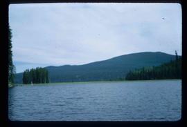
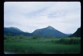
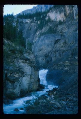
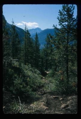
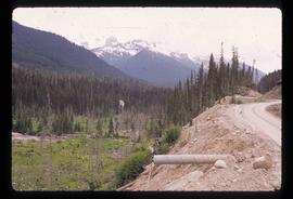
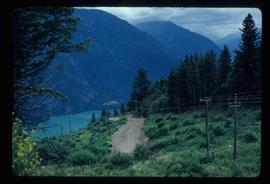
Image depicts a road leading into a First Nations' Reserve at the head of Harrison Lake.
Image depicts the Lillooet River delta at the head of Lillooet Lake.
Image depicts the Duffey Lake Provincial Park.
Image depicts the Britannia Mine, which closed in 1974 and is now a museum. "Anaconda" was the last operating owner.
Image depicts numerous power lines and a road somewhere north of Squamish.
Image depicts the Nairn Falls in Nairn Falls Provincial Park south of Pemberton, B.C.
Image depicts the Fraser River near Lillooet, B.C.
Image depicts rail road tracks and several buildings in Pemberton, B.C.
Image depicts some power lines and mountains near Pemberton, B.C.
Image depicts what appears to be an apartment building among several others in an uncertain location.
Image depicts Nairn Falls in Nairn Falls Provincial Park.
Image depicts Nairn Falls.
Image depicts a lake with a "Swim at Own Risk" sign at an uncertain location.
Image depicts what is possibly the Lillooet River, full of driftwood.
Image depicts a ferry entering Horseshoe Bay in the Howe Sound region.
Image depicts a camp at the Betty Wendle campsite at Isaac Lake.
Image depicts a log jamb at the Isaac Falls.
Image depicts the river channel leading to the Spectacle Lakes.
Image depicts mountains, taken from the river channel leading to the Spectacle Lakes.
Image depicts an unknown individual and a dog on a bridge over what is possibly the Robson River.
Image depicts a waterfall in what is possibly the Robson River.
Image depicts a hiking trail through the trees.
Image depicts a mountain, possibly Mt. Robson.
Image depicts a waterfall with a mountain peak in the background; it is most likely Mt. Robson.
Image depicts what is possibly the Robson River.
Image depicts the Mist Glacier on the slope of Mt. Robson.
Image depicts a camp of people with Mt. Robson and the Berg Glacier in the background.
Image depicts a group of people standing on the foot of a glacier, possibly the Robson Glacier.
Image depicts a group of people hiking on a glacier, possibly the Robson Glacier.
Image depicts a group of people hiking up a mountain side, possibly Mt. Robson.
Image depicts a group of hikers standing on a slope.
Image depicts a climbing either up or down a rock face.
Image depicts a view of Mt. Robson Provincial Park.
Image depicts a group of individuals at camp somewhere in Mt. Robson Provincial Park.
Image depicts Kent Sedgwick with a dog at his feet, somewhere in Mt. Robson Provincial Park.
Image depicts a glacier somewhere in Mt. Robson Provincial Park.
Image depicts a group of people standing near a river. A glacier is visible in the background.
Image depicts four unknown individuals studying a plant.
Image depicts a small lake somewhere in Mt. Robson Provincial Park.
Image depicts the Kiteen River at Dragon Lake near Aiyansh, B.C.
Image depicts the Tseax Lava Flow.
Image depicts a forested area located somewhere near the Tseax Lava Flow.
Image depicts the Tseax Lava Flow, looking up valley.
Image depicts old lava cliffs and the Tseax Lava Flow in Nisga'a Provincial Park, near New Aiyansh, B.C.
Image depicts a forested area located somewhere near the Tseax Lava Flow.
Image depicts what appears to be a small pond near the Tseax lava flow.
Image depicts a dirt road somewhere near Bralorne, B.C.
Image depicts an elevated view of a river near Bralorne, B.C.
Image depicts a dirt road leading through a forest with what appears to be an area for turning around at the end.
Image depicts a car on a dirt road leading through a forest.