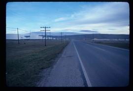
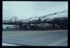
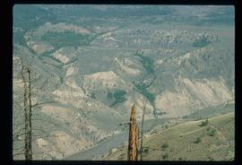
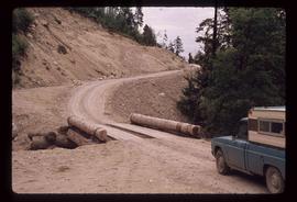
Image depicts a stretch of highway, possibly Highway 29 or 97.
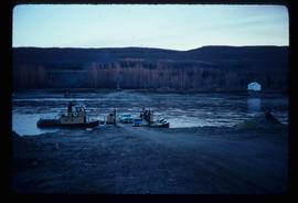
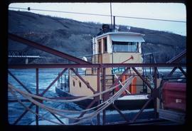
Image depicts the Clayhurst Ferry on the Peace River.
Image depicts the Clayhurst Ferry on the Peace River.
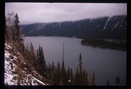
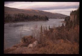
Image depicts the Peace River, possibly near Hudson's Hope, B.C.
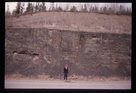
Image depicts an unidentified individual standing in front of a rock face with visible sediment layers. Located somewhere in the Peace River Region, possibly near Hudson's Hope.
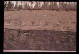
Image depicts a wall of rock with visible sediment layers at an uncertain location in the Peace River Region, possibly near Hudson's Hope.
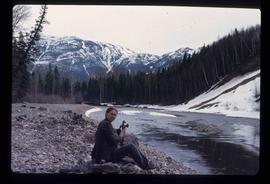
Image depicts an unidentified woman with a camera sitting on the bank of a river.
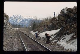
Image depicts a group of individuals who appear to be searching through the rocks near a railway track. It is possibly part of an educational trip.
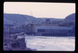
Image depicts the Peace Canyon Dam and generating station under construction on the Peace River.
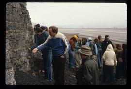
Image depicts a large group of people examining the sediment layers in a rock face.
File contains slides depicting the Peyto Glacier.
Image depicts the Peace River.
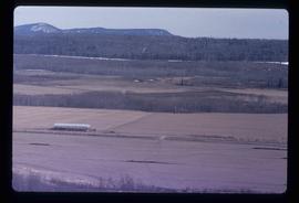
Image depicts a view of some farm land in Chetwynd, B.C.
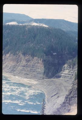
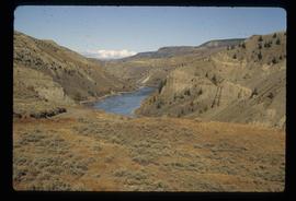
Image depicts the Peace River and visible layers of sediment deposits in the surrounding cliffs.
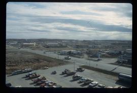
Image depicts a view of Fort St. John, B.C.
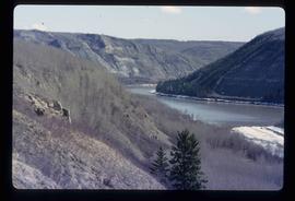
Image depicts the Peace River, possibly somewhere near Fort St. John, B.C.
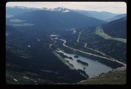
Image depicts a view of Pine Pass on the border between Alberta and British Columbia in the Rocky Mountains.
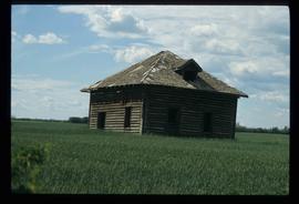
Image depicts an old abandoned cabin at an uncertain location.
File contains slides depicting places in Saskatchewan.
Image depicts the small town of Fraser, B.C. Located on the Klondike Highway.
File consists of a report titled "Nechako and Stuart River Corridors" prepared by the Ministry of Forests for the Province of British Columbia. The report has background data and reference information for a recreation planning study of the Nechako and Stuart River Corridors.
File consists of notes, reproductions, and letters relating to L.C. Gunn Park in Prince George. Includes: "Signage for Gunn Park" letter from Kent Sedgwick to the Mayor and Council (21 Dec. 1989); "L.C. Gunn viewpoint a proposal" documents within a duotang (1987); and "Donation to the City of Prince George" typescript letter from Graham Farstad to the Administration Committee ( 1 June 1988). Includes photographs depicting the opening of L.C. Gunn Park and the sign unveiling (3 Oct. 1988).
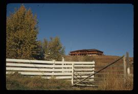
Image depicts the house of the owner of Gang Ranch.
Image depicts the Fraser River in the upper Fraser Canyon.
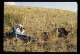
Image depicts an unknown woman taking pictures. Nearby are the skeletal remains of an unknown animal. The location is somewhere near the upper Fraser Canyon.
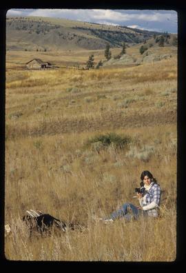
Image depicts an unknown woman with a camera. Nearby are the skeletal remains of an unknown animal. The location is the upper Fraser Canyon.
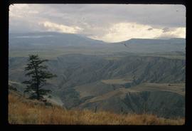
Image depicts a view of the upper Fraser Canyon. The Fraser River is visible on the left side of the image.
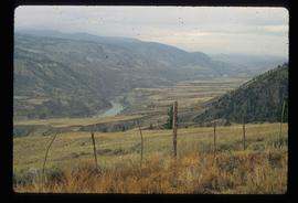
Image depicts a view of the upper Fraser Canyon. The Fraser River is visible on the left side of the image.
Image depicts a view of the upper Fraser Canyon.
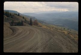
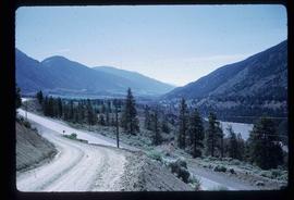
Image depicts a road somewhere in the Upper Fraser Canyon, and a view of the hills and trees.
Image depicts the Upper Fraser Canyon.
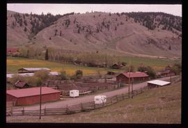
Image depicts the Alkali Lake Ranch in Alkali Lake, B.C.
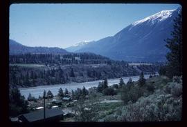
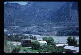
Image depicts a view of the Fraser River in Lillooet, B.C.
Image depicts a view of the Fraser River in Lillooet, B.C.
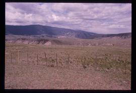
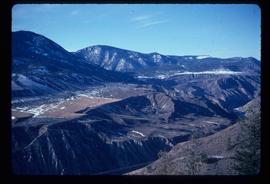
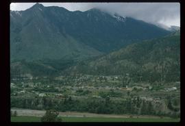
Image depicts a view of the mountains surrounding Lillooet, B.C.
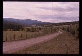
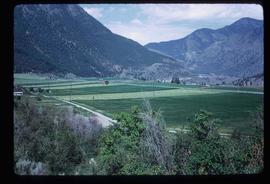
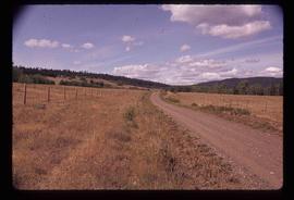
Image depicts some farmland in Lillooet, B.C.
Image depicts the Bridge River near Lillooet, B.C.
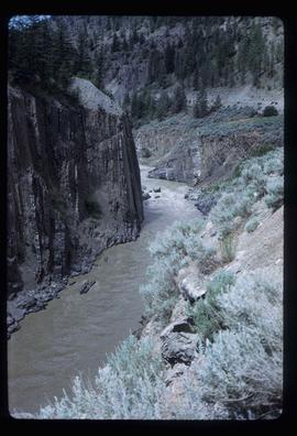
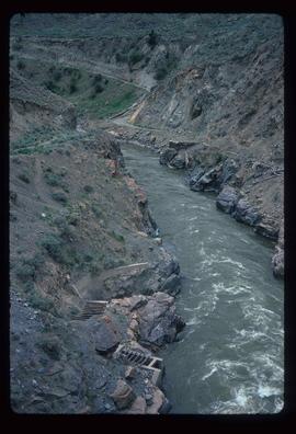
Image depicts the Fraser River running through the Moran Canyon near Lillooet, B.C.
Image depicts the Fraser River running through the Moran Canyon near Lillooet, B.C.
Image depicts the Moran Canyon near Lillooet, B.C.
Image depicts the Moran Canyon near Lillooet, B.C.
Image depicts what is possibly the Fraser River running through the Moran Canyon near Lillooet, B.C.
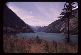
Image depicts a view of Seton Lake, located near Lillooet, B.C.
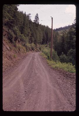
Image depicts the road to Pavilion Mountain.
Image depicts the road to Pavilion Mountain.
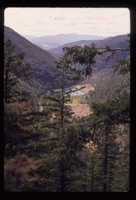
Image depicts a view of Kelly Lake Valley from Pavilion Mountain.
Image depicts a view of Lillooet, B.C.
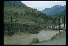
Image depicts two bridges over the Fraser River, located somewhere in Lillooet, B.C.
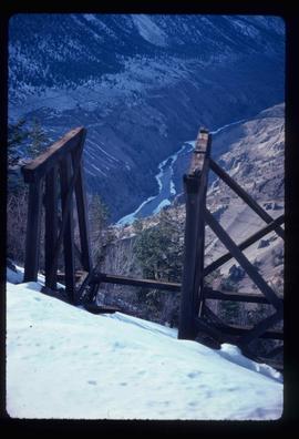
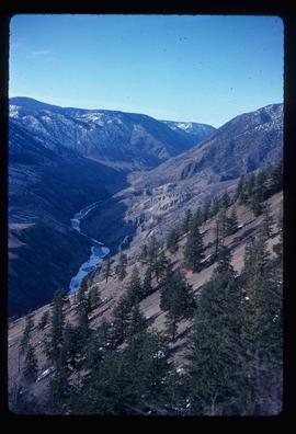
Image depicts the Moran Canyon; the Fraser River is visible near the bottom.
Image depicts the start of Joffre Creek Road, most likely somewhere in the Joffre Lakes Provincial Park.
