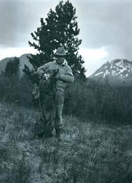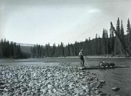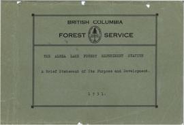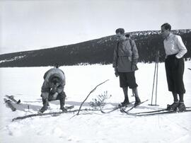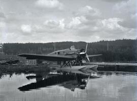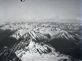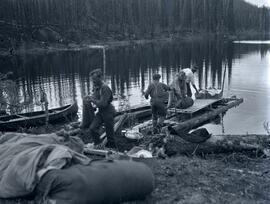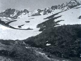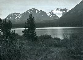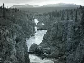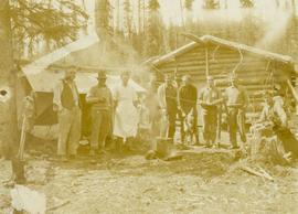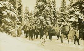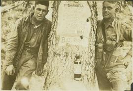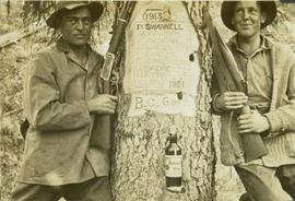
2021.06.064
·
Item
·
[June 1931 or July 1931]
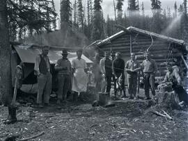
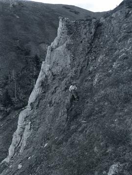
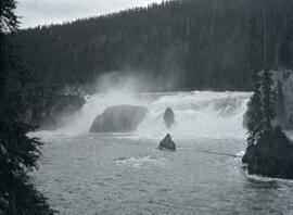
Part of Emil Bronlund Photograph Collection
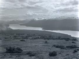
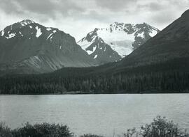
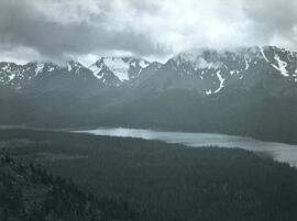
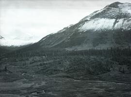
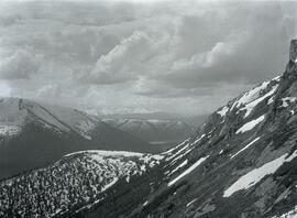
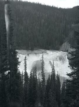
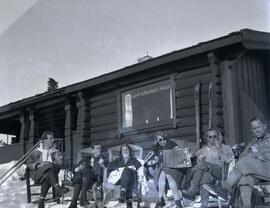
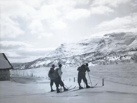
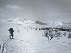
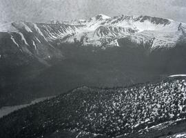
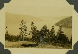
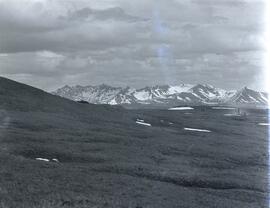
Photograph depicts a valley with sparse patches of snow in front of the McCorkell mountain range.