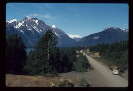
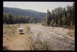
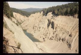
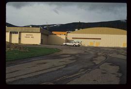
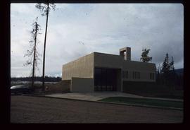
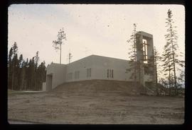
Showing 21791 results

Archival description
Meziadin - Fish Counter
2012.13.1.68.18 · Item · Aug. 1979
Part of J. Kent Sedgwick fonds

Image depicts several individuals looking down into a closed off section of a river in Meziadin Lake Provincial Park. They are counting fish.

Likely
2012.13.1.69.03 · Item · July 1981
Part of J. Kent Sedgwick fonds

Image depicts numerous vehicles and individuals outside a hotel in Likely, B.C.

Keithley Creek
2012.13.1.69.20 · Item · [1981?]
Part of J. Kent Sedgwick fonds

Image depicts the Keithley Creek, with several unknown individuals walking along the banks.

2012.13.1.69.21 · Item · [1981?]
Part of J. Kent Sedgwick fonds

Image depicts a sign on the dirt road leading to Barkerville from Keithley Creek. The sign reads: "Barkerville 40 (via Yanks Peak) Maximum elevation 6200 FT. Summer road only. Steep grades and switchbacks not recommended for other than 4-wheel drive vehicles. You are entering an isolated mountain area; you will be on your own."

The Bullion Pit
2012.13.1.69.25 · Item · [1981?]
Part of J. Kent Sedgwick fonds

Image depicts the Bullion Pit in Likely, B.C. It is a man-made canyon from the days of the gold-rush, formed by the use of hydraulic monitors. The gold-mine operated from 1892 to 1942.

Bullion House
2012.13.1.69.26 · Item · [1981?]
Part of J. Kent Sedgwick fonds

Image depicts an old, half-collapsed house in Likely, B.C.. The slide labels it as "Bullion house."

Hydraulic
2012.13.1.69.30 · Item · [1981?]
Part of J. Kent Sedgwick fonds

Image depicts the old log buildings of the town of Hydraulic, B.C.

Likely
2012.13.1.69.31 · Item · [1981?]
Part of J. Kent Sedgwick fonds

Image depicts a bridge, and the town of Likely on the the other side of a river.

Mackenzie - Meeting
2012.13.1.70.02 · Item · May 1973
Part of J. Kent Sedgwick fonds

Image depicts numerous individuals seated around a table and apparently having a meeting at an uncertain location in Mackenzie, B.C.

Mackenzie - Meeting
2012.13.1.70.03 · Item · May 1973
Part of J. Kent Sedgwick fonds

Image depicts numerous individuals examining a map as they are seated around a table. The location of the meeting is somewhere in Mackenzie, B.C.

Mackenzie Centre
2012.13.1.70.05 · Item · May 1973
Part of J. Kent Sedgwick fonds

Image depicts numerous vehicles parked outside a building with a sign which reads "Mackenzie Centre;" it is possibly the mall in Mackenzie, B.C.

Mackenzie - Morfee Lake
2012.13.1.70.07 · Item · 1973
Part of J. Kent Sedgwick fonds

Image depicts the frozen Morfee Lake just to the East of Mackenzie, B.C. The slide is also labelled "sub-boreal," referencing that it is a sub-boreal spruce zone.

Mackenzie Curling Rink
2012.13.1.70.13 · Item · Aug. 1979
Part of J. Kent Sedgwick fonds

Image depicts a small section of Mackenzie, with the Mackenzie Curling Rink visible on the right side of the image.