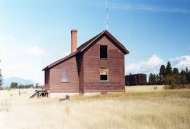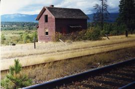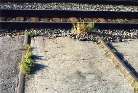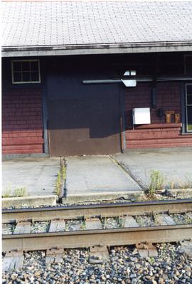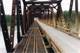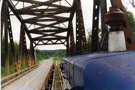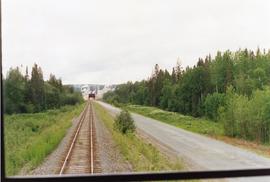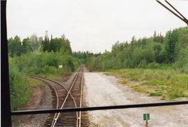
2013.6.36.1.149.32
·
Item
·
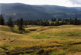
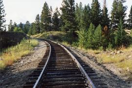
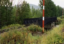
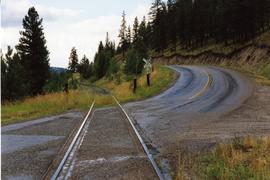
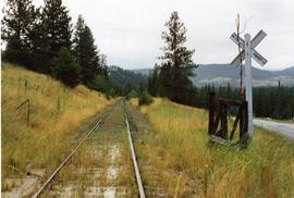
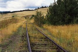
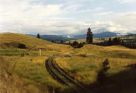
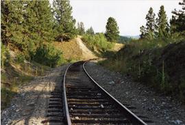
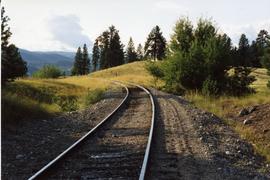
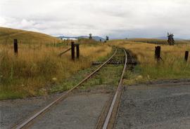
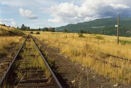
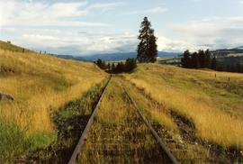
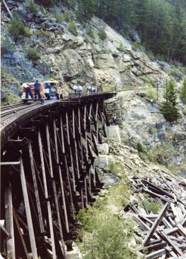
10 Aug. 1991
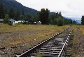
Part of David Davies Railway Collection
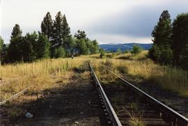
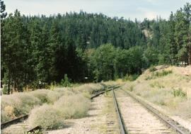
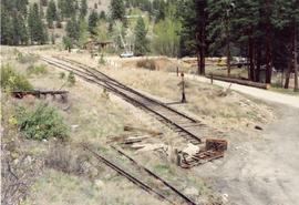
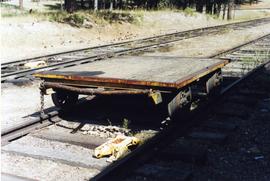
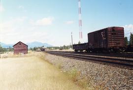
Photograph depicts what was at one time a passing point, spur, etc. Now, it was only a 'through' track. Disappeared siding held storage for 44 cars.