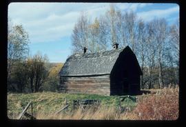
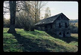
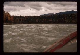
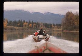
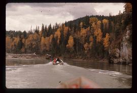
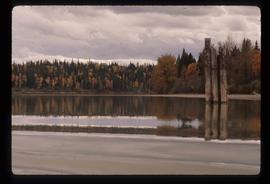
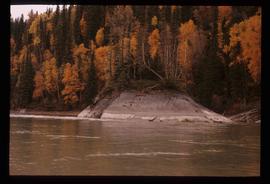
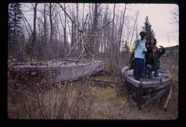
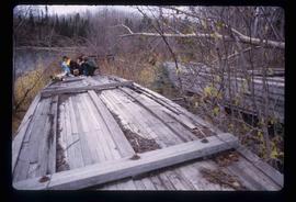
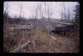
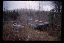
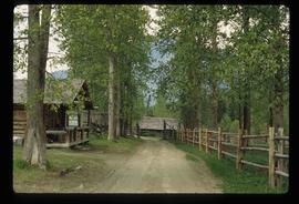
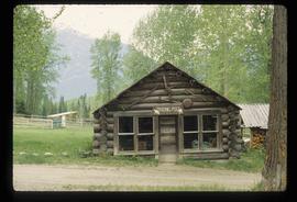
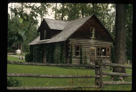
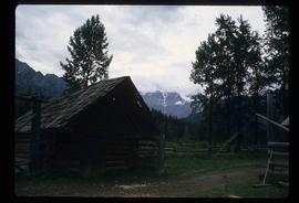
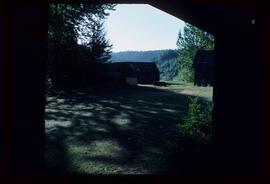
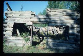
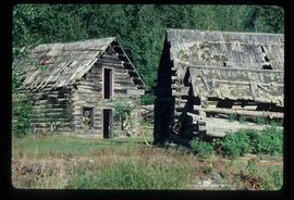
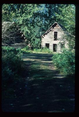
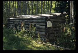
Image depicts an old telegraph cabin at Cheslatta, B.C.
Image depicts the Kenney Dam near Cheslatta, B.C.
Image depicts the Cheslatta River.
Image depicts the Cheslatta Falls.
File contains slides depicting images of the Fort George Canyon from 1984.
Image depicts the Fraser River in Fort George Canyon Provincial Park, B.C.
Image depicts a view of the forest in the Fort George Canyon Provincial Park, B.C.
Image depicts an old barn somewhere in the Fort George Canyon Provincial Park, B.C.
Image depicts an old, collapsing cabin somewhere in the Fort George Canyon Provincial Park, B.C.
Image depicts the Fraser River in Fort George Canyon Provincial Park, B.C.
Image depicts the Ginter House and the surrounding woods, in Prince George, B.C.
Image depicts a private driveway, most likely leading to the Ginter Property in Prince George, B.C.
File contains slides depicting images of the Fraser Canyon from somewhere around 1975.
Image depicts a group of people in boats on the Fraser River in the Grand Canyon, B.C.
Image depicts the Fraser River in the Grand Canyon, B.C.
Image depicts a group of people in boats on the Fraser River in the Grand Canyon, B.C.
Image depicts the Fraser River in the Grand Canyon, B.C.
Image depicts a very small island in the middle of the Fraser River in the Grand Canyon, B.C.
Image depicts a number of small houses at Island Cache.
Image depicts a stand of trees and a shed at Island Cache.
Image depicts what is likely an outhouse at Island Cache.
Image depicts a clearing at Island Cache.
Image depicts a nature trail on Cottonwood Island.
Image depicts Cottonwood Island.
Image depicts a small stream somewhere on Cottonwood Island.
Image depicts a nature trail on Cottonwood Island.
Image depicts four unknown individuals and the remains of the old Miworth Ferry, somewhere near Miworth, B.C.
Image depicts the remains of the old Miworth Ferry, somewhere near Miworth, B.C.
Image depicts four unknown individuals and the remains of the old Miworth Ferry, somewhere near Miworth, B.C.
Image depicts the Mount Robson Ranch.
Image depicts the old trading post at Mount Robson Ranch.
Image depicts the Mount Robson Ranch.
File contains slides depicting the Okanagan Brigade Trail.
Image depicts the Okanagan Kettle Valley, with the Kettle Rail Road faintly visible among the trees
Image depicts the trail of the old Kettle Valley Rail Road.
Image depicts a woman standing inside a tunnel from the old Kettle Valley Rail Road.
Image depicts the mouth of a tunnel from the Kettle Valley Rail Road.
Image depicts a woman standing on the old Kettle Valley Rail Road.
Image depicts several abandoned and collapsing cabins in Quesnelle Forks, B.C.
Image depicts a collapsed cabin in Quesnelle Forks, B.C.
Image depicts several abandoned and collapsing cabins in Quesnelle Forks, B.C.
Image depicts part of a path leading to some abandoned cabins in Quesnelle Forks, B.C.