2012.13.1.85.50
·
Item
·
Oct. 2004
Parte de J. Kent Sedgwick fonds
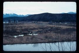
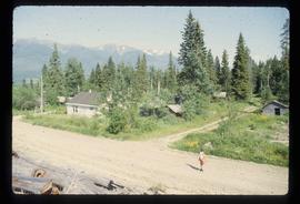
Image depicts Mt. Fitzwilliam.