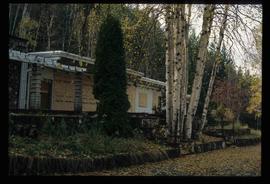
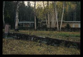
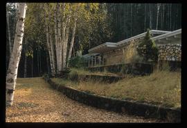
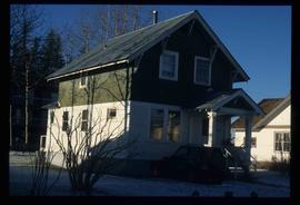
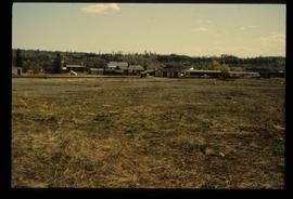
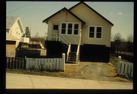
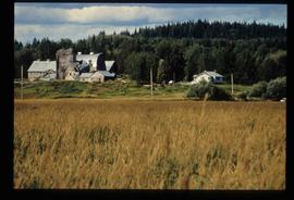
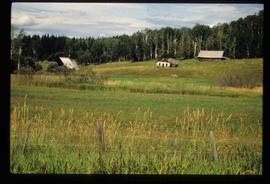
Image depicts the Ginter House in Prince George, B.C.
Image depicts the Ginter House in Prince George, B.C.
Image depicts the Ginter House in Prince George, B.C.
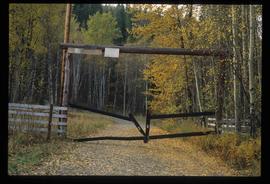
Image depicts a private driveway, most likely leading to the Ginter Property in Prince George, B.C.
Image depicts 1423 Ingledew in Prince George, B.C.
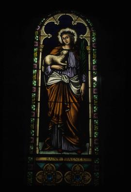
Image depicts a stained glass window showing Saint Agnes from the interior of a church in Shelley, B.C.
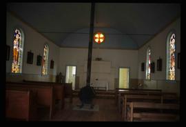
Image depicts the interior of the church after its restoration, in Shelley, B.C.
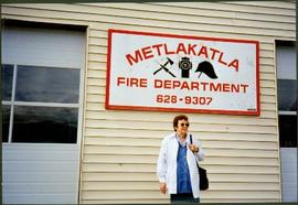
Moran stands in front of building with the sign "METLAKATLA FIRE DEPARTMENT 628-9307".
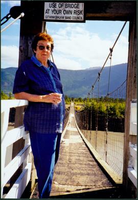
Photograph depicts Moran standing in front of bridge featuring a sign reading "USE OF BRIDGE AT YOUR OWN RISK / GITWINKSIHLKW BAND COUNCIL". River below, hills on opposite shore in background.
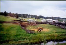
Photograph depicts two horses in one of many fenced areas, buildings and machinery in background. Highway, house, and forest also visible in distance.
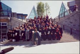
Photograph depicts large group posed on ceremonial steps in Agora courtyard at the University of Northern British Columbia in Prince George, B.C. Most individuals in group wear regalia. Bridget Moran appears to be standing in center of second row, hand raised to her face.
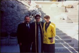
Photograph depicts group of three at stone steps in courtyard at the University of Northern British Columbia, in Prince George, B.C. Photo taken on the day Moran received an Honourary Law Degree. Left to right: Bob Harkins, Bridget Moran, unknown.
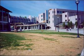
Photograph depicts the Agora center at the University of Northern British Columbia in Prince George, B.C. Library building can be seen in right background, cafeteria building on far left. Unidentified individuals can be seen walking on campus. Accompanying note from Maureen Faulkner: "The processional gathers on the upper walkway". Photo believed to have been taken on the day Bridget Moran received an Honourary Law Degree.
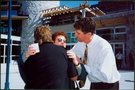
Photograph depicts Moran wearing regalia, embraced by her sons Mike (in foreground) and Pat. The group stands in the Agora courtyard at the University of Northern British Columbia in Prince George, B.C. Unidentified individuals stand near Winter Garden in background. Accompanying note from Maureen Faulkner: "Pat gets in on the action!." Photo taken on the day Moran received an Honourary Law Degree.
Image depicts a cookhouse at Sinclair Mills, B.C.
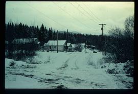
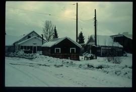
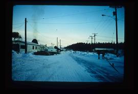
Image depicts a snow-covered road with vehicle tracks, and several houses. The location is uncertain.
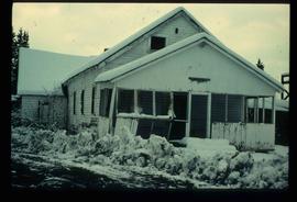
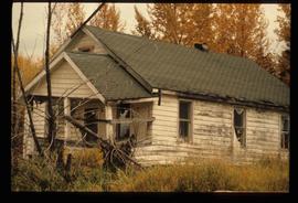
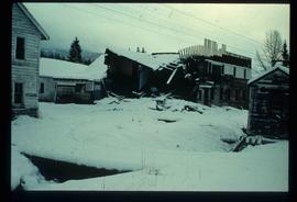
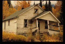
Image depicts a dilapidated house in Sinclair Mills, B.C.
Image depicts a small house with brightly coloured door and window frames in Penny, B.C.
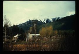
Image depicts a house surrounded by trees and a mountain in the background; it is most likely located somewhere in or near Longworth, B.C.
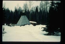
Image depicts what appears to be a teepee at an uncertain location.
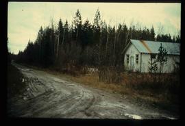
Image depicts a dirt road and a possibly abandoned building at an uncertain location.
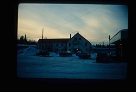
Image depicts an older building with numerous vehicles parked out front in Upper Fraser, B.C. Map coordinates 54°07'03.5"N 121°56'34.4"W
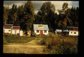
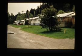
Image depicts a row of houses in Upper Fraser, B.C. Map coordinates 54°06'51.6"N 121°56'26.3"W
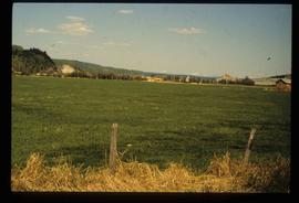
Image depicts a field in Giscome, B.C. On the right side of the image, in the background, is a grey strip that appears to be a mine, possibly the quarry at Eaglet Lake in Giscome, B.C. Map coordinates 54°03'52.9"N 122°22'10.0"W
Image depicts the Giscome B.C. townsite from across the railroad tracks looking southeast. Map coordinates 54°04'19.7"N 122°22'04.7"W
Image depicts a house with the main floor and entrance high off the ground. The location is uncertain, likely Giscome, B.C.
Image depicts a large, old and collapsing barn, as well as a nearby house of the dairy farm in Giscome, B.C. Map coordinates 54°03'53.3"N 122°21'22.6"W
Image depicts several old buildings in a field, one of which has a caved-in roof, in Newlands, B.C. Map coordinates 54°06'28.2"N 122°12'01.0"W
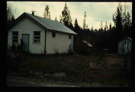
Image depicts three people standing at the front door of a house at an uncertain location.
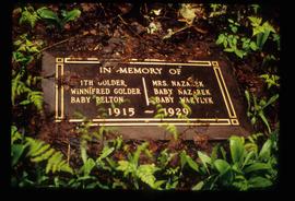
Image depicts a grave-marker with several names, it reads: "In Memory of Edith Golder, Winnifred Golder, Baby Pelton, Mrs. Nazarek, Baby Nazarek, Baby Wazylyk 1915 - 1929." It is located in the Willow River Cemetery.
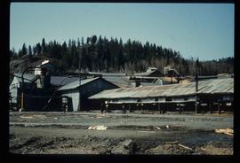
Image depicts the mill site at Giscome, B.C. Map coordinates 54°04'19.7"N 122°22'04.7"W
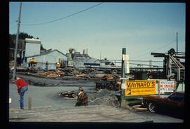
Image depicts the mill site at Giscome, B.C. A sign in the foreground reads "Maynard's Industrial Auctioneers." Map coordinates 54°04'19.7"N 122°22'04.7"W
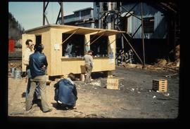
Image depicts a food stand at the mill site at Giscome, B.C. Map coordinates 54°04'19.7"N 122°22'04.7"W
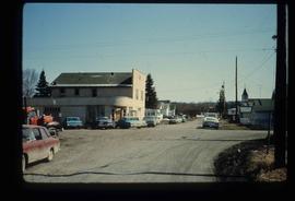
Image depicts a street in Giscome B.C. The Giscome Store is located on the left side of the image with the church in the background. Map coordinates 54°04'18.5"N 122°21'57.7"W
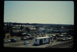
Image depicts the Giscome, B.C. town site with the Giscome railway station and the Giscome store in the center surrounded by vehicles. Map coordinates 54°04'18.5"N 122°21'57.7"W
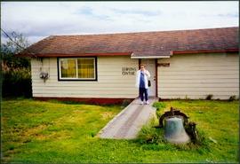
Moran stands on sidewalk in front of building with signs reading "LEARNING CENTRE" and "ST. PAUL'S ANGLICAN CHURCH". Large iron bell sits in grass in foreground, forest in background. Photo believed to have been taken near Metlakatla Lake, B.C.
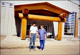
Photograph depicts Moran standing with unknown man in front of building with large wood beams in entryway (see also item 2008.3.1.22.25 for image featuring Moran with this young man).
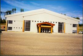
Photograph depicts unidentified building with large wood beams in entryway.
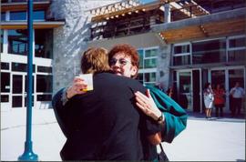
Photograph depicts Moran wearing regalia, embraced by her son Mike in Agora courtyard at the University of Northern British Columbia in Prince George, B.C. Unidentified individuals stand near Winter Garden in background. Accompanying note from Maureen Faulkner: "Mike Congratulations Mom!." Photo taken on the day Moran received an Honourary Law Degree.
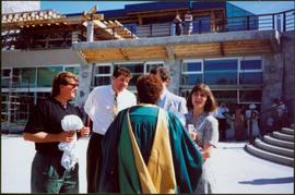
Photograph depicts Moran wearing regalia, facing away from camera in front of family members in the Agora courtyard at the University of Northern British Columbia in Prince George, B.C. Sons Mike (wearing black) and Pat stand on left, and Paul Ramsey stands in grey suit, semi-visible behind Moran. Unidentified individuals stand near Winter Garden in background. Photo taken on the day Moran received an Honourary Law Degree.
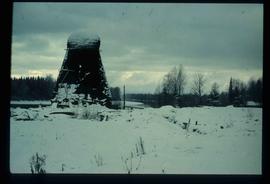
Image depicts a beehive burner covered in snow in Sinclair Mills, B.C. Map coordinates 54°01'17.4"N 121°40'53.0"W
Image depicts an old, half-collapsed building at an uncertain location.
Image depicts several old buildings. The location is uncertain.
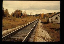
Image depicts railway tracks and buildings with a beehive burner on the left. The location is likely Sinclair Mills, B.C. Map coordinates 54°01'17.4"N 121°40'53.0"W
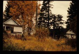
Image depicts two old houses surrounded by numerous trees at an uncertain location.
Image depicts a dilapidated house in Sinclair Mills, B.C.
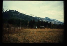
Image depicts a field and a shack in the foreground and mountains in the background. The location is uncertain, likely Longworth, B.C.
Image depicts the Upper Fraser Road running through Upper Fraser, B.C. A beehive burner is seen in the background on the left and the mill office is seen on the right. Map coordinates 54°07'05.7"N 121°56'38.9"W
Image depicts entrance to mill yard for Upper Fraser mill in Upper Fraser, B.C. Map coordinates 54°07'10.8"N 121°56'51.7"W
Image depicts several houses, likely in Upper Fraser, B.C.
