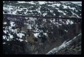
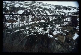
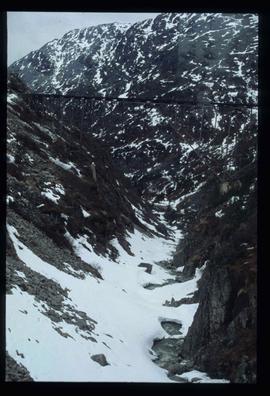
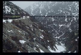
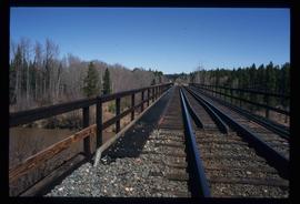
Image depicts an old trestle along the White Pass railway.
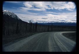
Image depicts what is possibly Atlin Road. Numerous mountains are visible in the distance.
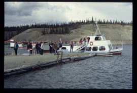
Image depicts numerous unidentified individuals getting off a boat which bears the name "Schwatka." It is located somewhere in Miles Canyon.
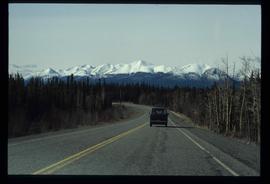
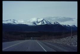
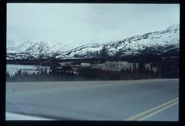
Image depicts a van on a highway with mountains in the distance; the location is uncertain, though it is possibly along the Alaska Highway.
Image depicts a van on a highway with mountains in the distance; the location is uncertain, though it is possibly along the Alaska Highway.
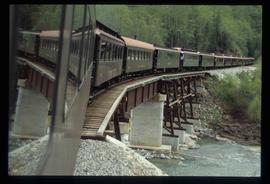
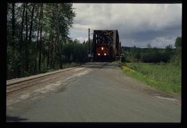
Image depicts the White Pass Train crossing over a railway bridge at an uncertain location.
Image depicts an old trestle along the White Pass railway.
Image depicts an old trestle along the White Pass railway.
Image depicts an old trestle along the White Pass railway, and the White pass Train on the left of the image.
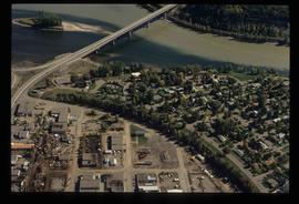
Image depicts a train on the Hansard Bridge across the Fraser River looking west. Map coordinates 54°04'37.7"N 121°50'39.9"W
Image depicts the small town of Fraser, B.C. Located on the Klondike Highway.
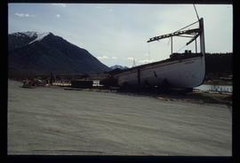
Image depicts half of a ship, which is named the Tutshi, in Carcross, Y.T.
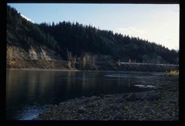
Image depicts the Fraser River at Paddlewheel park, with a train on the other side of the river, in Prince George B.C.
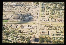
Image depicts Ash Street and Patricia Boulevard in Prince George, B.C.
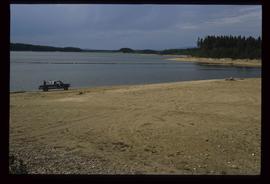
Image depicts a truck parked on a beach in Mackenzie, B.C.
Image depicts the Fraser River at Paddlewheel park, with a train on the other side of the river, in Prince George B.C.
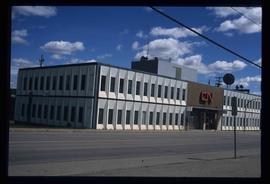
Image depicts the CN Building in Prince George, B.C.
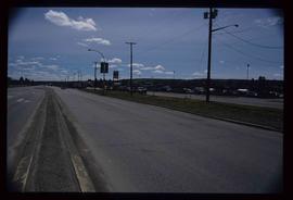
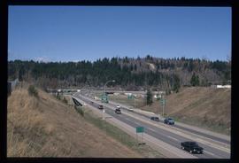
Image depicts a view along Highway 97 in Prince George, B.C.
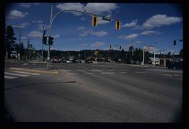
Image depicts the intersection of 5th Ave and Highway 97 looking northeast. Map coordinates 53°55'14.0"N 122°46'54.8"W
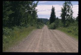
File consists of notes, clippings, and reproductions relating to the original Pacific Great Eastern Railway line. Also includes photographs depicting various dirt roads (2001-2010).
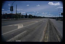
Image depicts a section of Highway 97 looking south. Map coordinates 53°55'10.3"N 122°46'54.9"W
File consists of notes, clippings, and reproductions relating to the British Columbia Express Company. Barnard's Express, later known as the British Columbia Express Company or BX, was a pioneer transportation company that served the Cariboo and Fraser-Fort George regions in British Columbia, Canada from 1861 until 1921.
Image depicts a rail road bridge over the Mud River.
File consists of notes and reproductions relating to townsites along the Grand Trunk Pacific Railway. Includes material regarding townsite planning for McBride, Willow River, Prince George, Terrace, Prince Rupert, and South Hazelton.
Image depicts the intersection of 15th Ave and Highway 97 in Prince George, B.C.
File consists of notes and reproductions relating to Marcus Smith. Marcus Smith was a railway surveyor and in 1872 he was appointed as deputy to the Engineer-in-Chief of the Canadian Pacific Railway and took charge of British Columbia surveys between 1876-78. He worked as a surveyor for the CPR until 1886.
Image depicts a highway, possibly Highway 97, in Prince George, B.C.
Image depicts Bellos Road, most likely in Red Rock, B.C.
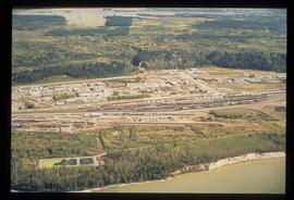
Image depicts an aerial view of the BC Rail, in Prince George, B.C. It is now known as CN Rail.
Image depicts Bellos Road, most likely in Red Rock, B.C.
File consists of clippings relating to the Canadian National lease of the BC Rail line. Includes material on economic benefits of the lease for CN and for the provincial government. Also includes material regarding perceptions of the sale by British Columbia MLA's and the public.
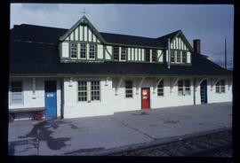
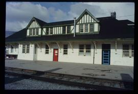
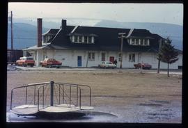
Image depicts the CN Station in McBride, B.C.
Image depicts the CN Station in McBride, B.C.
Image depicts the rear-end of the CN Station in McBride, B.C.
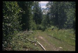
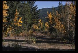
Image depicts an old road through the trees near Yellowhead Pass. The slide labels it as the origin of the Yellowhead highway.
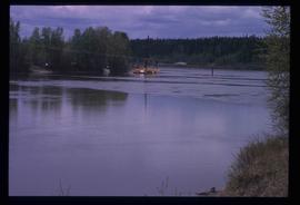
Image depicts what appears to be a ferry crossing a river at an uncertain location.
File consists of notes and reproductions relating to the Canadian Northern Railway. File contains material regarding the CNR railway station at Boston Bar; the community and railway stop at Basque; development of the CNR; and the CNR in Lucerne, British Columbia.
File consists of notes, clippings, and reproductions relating to a failed tunnel build for the Grand Trunk Pacific Railway line between McBride and Goat River and a potential homestead on the land surrounding the tunnel. The land was later owned by Russ Purvis of Dunster in 2006.
File consists of notes, clippings, and reproductions relating to the arrival of the railway in Fort George. Includes material on railway development and building of the railway in Fort George.
File consists of notes and clippings relating to the Cariboo Road. The Cariboo Road (also called the Cariboo Wagon Road, the Great North Road or the Queen's Highway) was a project initiated in 1860 by the Governor of the Colony of British Columbia, James Douglas. The road stretched from Fort Yale to Barkerville, B.C. through hazardous canyon territory in the Interior of British Columbia.
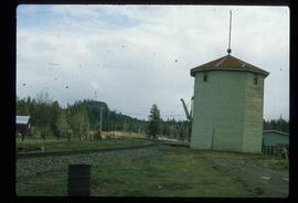
Image depicts a train track and several buildings in an unknown location.
Photograph depicts a section of railway trackage, presumed to be located within or nearby Sinclair Mills, BC.
Photograph depicts a section of railway trackage, presumed to be located within or nearby Sinclair Mills, BC. There is a man on the other side of the railway tracks.
Photograph depicts a post office, presumably in Sinclair Mills.
Photograph depicting a large stone surrounded by trees in an unknown location.
Photograph depicting a landscape with a lake and a mountain in the background.
Photograph depicting a large stone surrounded by trees and two people sitting on top of it.
Photograph depicting a log house, presumably in the campground in Quesnelle Forks.
Photograph depicting a small log cabin with a front porch and a sign reading "Happy 150th Anniversary Cariboo Gold Rush 1859-2009", presumably taken in Quesnelle Forks.
File consists of notes and reproductions relating to a presentation on the Grand Trunk Pacific Railway conducted by Kent Sedgwick. Includes a CD titled "GTP Talk" containing a recording of Kent Sedgwick's presentation on the Grand Trunk Pacific (Oct. 2010).
