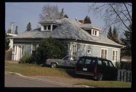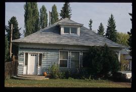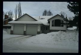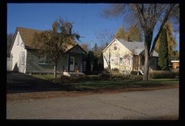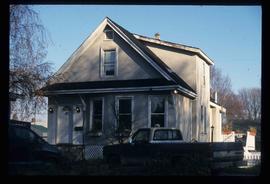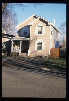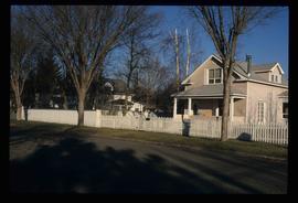
2012.13.1.14.09
·
Item
·
Dec. 1997
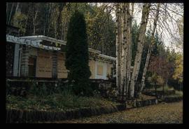
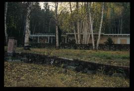
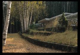
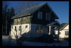
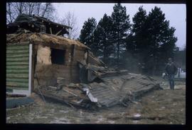
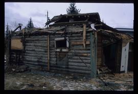
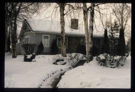
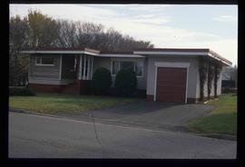
Part of J. Kent Sedgwick fonds
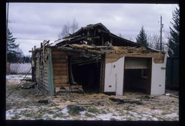
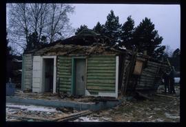
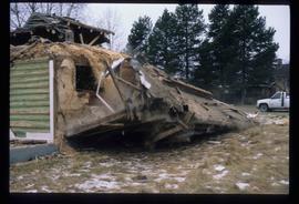
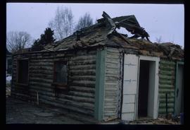
Image depicts the Ginter House in Prince George, B.C.