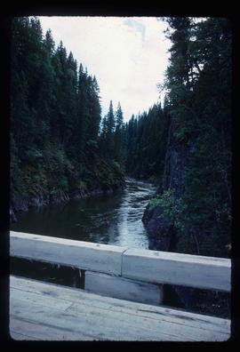
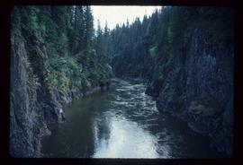
Showing 3026 results

Archival description
2012.13.1.89.136 · Item · 1999
Part of J. Kent Sedgwick fonds

Image depicts four individuals sitting on a log, possibly somewhere near the Hansard Bridge, B.C. The individuals are UNBC faculty members Gail Fondahl, Tracey Summerville, Greg Halseth and an unidentified individual. The slide is labelled: "Hansard Bridge UNBC." Map coordinates 54°04'37.7"N 121°50'39.9"W

Willow River - Lloyd Edwards
2012.13.1.89.131 · Item · 1985
Part of J. Kent Sedgwick fonds

Image depicts a group of people somewhere in Willow River, B.C. The man in the plaid shirt and beige cap is identified on the slide as being Lloyd Edwards.

Eaglet Lake Creek
2012.13.1.89.095 · Item · [1980?]
Part of J. Kent Sedgwick fonds

Image depicts the creek flowing into Eaglet Lake. A grey area of hill on the right side of the image appears to be the Giscome Quarry. Map coordinates 54°04'26.2"N 122°22'04.3"W

2012.13.1.89.084 · Item · [1980?]
Part of J. Kent Sedgwick fonds

Image depicts Giscome with the school on the left, the remnants of the town site in the middle and the church on the right. Map coordinates 54°03'58.2"N 122°22'04.8"W

Bowron Canyon - Log Jam
2012.13.1.89.063 · Item · Sep. 1978
Part of J. Kent Sedgwick fonds

Image depicts what appears to be a log jam on what is possibly the Bowron River. The slide is simply labelled "Bowron Canyon."

Bowron Canyon
2012.13.1.89.062 · Item · Sep. 1978
Part of J. Kent Sedgwick fonds

Image depicts what is possibly the Bowron River. The slide is simply labelled "Bowron Canyon."

Newlands?
2012.13.1.89.028 · Item · Mar. 1975
Part of J. Kent Sedgwick fonds

Image depicts what is possibly the community of Newlands, B.C.

Upper Fraser Road in Winter
2012.13.1.89.016 · Item · Feb. 1973
Part of J. Kent Sedgwick fonds

Image depicts several unidentified individuals walking along the snow-covered Upper Fraser Road with numerous buildings on either side. Map coordinates 54°07'05.7"N 121°56'38.9"W

Mellos House
2012.13.1.88.51 · Item · 2004
Part of J. Kent Sedgwick fonds

Image depicts a house with torn-up siding. The slide is labelled: "Mellos house relocated from Penny." The location is uncertain.

Penny - Hiking Trail Signs
2012.13.1.88.49 · Item · 2004
Part of J. Kent Sedgwick fonds

Image depicts two signs for hiking trails in Penny, B.C. One reads: "Hiking trail to Red Mt. Lake (Grizzly Bear Mt.) expect to meet wild animals."

Kent Sedgwick
2012.13.1.88.35 · Item · 1980
Part of J. Kent Sedgwick fonds

Image depicts Kent Sedgwick sitting on the bank of a river. An old beehive burner is visible in the background. Located somewhere in or near Penny, B.C.

Penny - Fraser River?
2012.13.1.88.02 · Item · 1975
Part of J. Kent Sedgwick fonds

Image depicts four unidentified individuals standing on the bank of a river, possibly the Fraser, somewhere in or near Penny, B.C.

Giscome Sawmill
2012.13.1.87.176 · Item · [between 1975 and 1995]
Part of J. Kent Sedgwick fonds

Image depicts the Giscome, B.C. mill site looking west. Map coordinates 54°04'18.5"N 122°21'57.7"W

Giscome
2012.13.1.87.175 · Item · [between 1975 and 1995]
Part of J. Kent Sedgwick fonds

Image depicts the Giscome, B.C. town site with the Giscome railway station and the Giscome store in the center surrounded by vehicles. Map coordinates 54°04'18.5"N 122°21'57.7"W