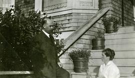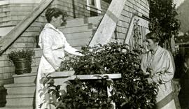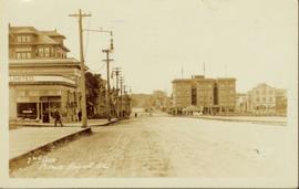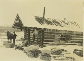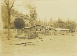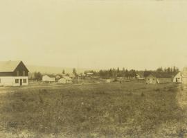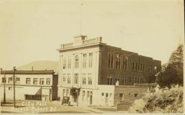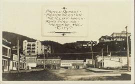
2011.3.3.39
·
Item
·
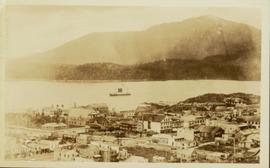
18 August 1924
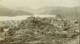
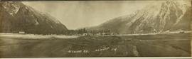
Part of North Coast & Central BC Postcard Collection
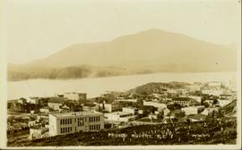
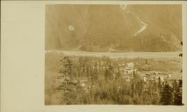
Street view of Prince Rupert storefronts. A high cliff can be seen in the background with several large houses perched atop it. Printed annotation on recto reads: "Prince Rupert Residences on the Cliff which runs thru the Heart of the City." Handwritten annotation on verso reads: "8-18-24 I am still on the go but heading for home when [illegible] to be by Soft cot. Here seen some great scenery in Canada. Trains by boat to-night for Vancouver. Nan felt better. Love for all Chas[??]." Handwritten address on verso reads: "Mrs. Friderich Eley R [illegible] 3 Santa Ana Calif. U.S.A." Postmark stamped on verso reads: "Prince Rupert BC. 10 PM Aug 18 1924."