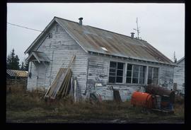
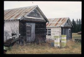
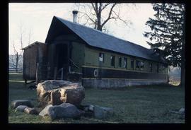
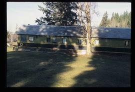
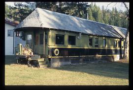
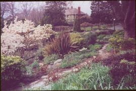
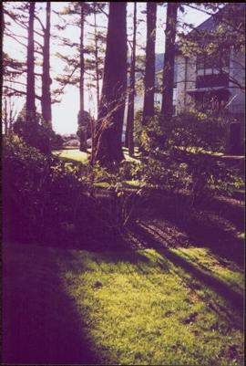
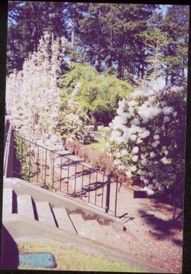
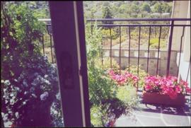
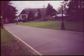
Affichage de 4403 résultats

Archival description
3218 résultats avec objets numériques Afficher les résultats avec des objets numériques
Studio 2880 Arts Complex
2012.13.1.3.170 · Pièce · Apr. 2003
Fait partie de J. Kent Sedgwick fonds

Image depicts Studio 2880 Arts Complex in Prince George, B.C. Map coordinates 53°54'36.9"N 122°46'30.3"W

Spruceland
2012.13.1.5.24 · Pièce · Mar. 2003
Fait partie de J. Kent Sedgwick fonds

Image depicts a Lakewood view of Spruceland in Prince George, B.C.

College Heights
2012.13.1.5.25 · Pièce · Mar. 2003
Fait partie de J. Kent Sedgwick fonds

Image depicts College Heights, particularly along Gladstone Drive, in Prince George, B.C.

Trailer Park
2012.13.1.5.27 · Pièce · Mar. 2003
Fait partie de J. Kent Sedgwick fonds

Image depicts a trailer park by either the Fraser or Nechako River in Prince George, B.C.

Exhibition Sports Centre
2012.13.1.7.234 · Pièce · Mar. 2003
Fait partie de J. Kent Sedgwick fonds

Image depicts the Exhibition Sports Centre, which used to be a drill hall army base, on Keller Street in Prince George, B.C.

Rail Car House
2012.13.1.20.19 · Pièce · [2002 or 2003]
Fait partie de J. Kent Sedgwick fonds

Image depicts a house made from a rail car in an uncertain location. It could be in Hixon, Red Rock, or Woodpecker, B.C.

Farm
2012.13.1.20.23 · Pièce · [2002 or 2003]
Fait partie de J. Kent Sedgwick fonds

Image depicts a farm likely in Woodpecker, B.C.

Kinney house plaque
2012.13.2.10.05.2 · Pièce · 2003
Fait partie de J. Kent Sedgwick fonds

The item is a photograph depicting a plaque where the Kinney house was located at 2249 Queensway Street, South Fort George. The plaque contains a photograph of Fannie Kinney and her house as well as a write up describing the house's history.

Storage Sheds
2012.13.1.7.235 · Pièce · Mar. 2003
Fait partie de J. Kent Sedgwick fonds

Image depicts a few storage sheds somewhere in Prince George, B.C.

Businesses
2012.13.1.7.250 · Pièce · [2003?]
Fait partie de J. Kent Sedgwick fonds

Image depicts a street of businesses, possibly 3rd Avenue, in Prince George, B.C.

Rail Car House
2012.13.1.20.20 · Pièce · [2002 or 2003]
Fait partie de J. Kent Sedgwick fonds

Image depicts a house made from a rail car in an uncertain location. It could be in Hixon, Red Rock, or Woodpecker, B.C.

Rail Car House
2012.13.1.20.21 · Pièce · [2002 or 2003]
Fait partie de J. Kent Sedgwick fonds

Image depicts a house made from a rail car in an uncertain location. It could be in Hixon, Red Rock, or Woodpecker, B.C.

Rail Car House
2012.13.1.20.22 · Pièce · [2002 or 2003]
Fait partie de J. Kent Sedgwick fonds

Image depicts a house made from a rail car in an uncertain location. It could be in Hixon, Red Rock, or Woodpecker, B.C.

Farm
2012.13.1.20.24 · Pièce · [2002 or 2003]
Fait partie de J. Kent Sedgwick fonds

Image depicts a farm likely in Woodpecker, B.C.

Discovery Passage
2012.13.1.048 · Sous-série organique · 2003
Fait partie de J. Kent Sedgwick fonds

File contains slides depicting areas around the Discovery Passage.

Prince George
2012.13.1.3.169 · Pièce · Mar. 2003
Fait partie de J. Kent Sedgwick fonds

Image depicts an aerial view of what is possibly an outlying area of Prince George, B.C.

British Columbia Rail
2012.13.1.5.30 · Pièce · Mar. 2003
Fait partie de J. Kent Sedgwick fonds

Image depicts an aerial view of the BC Rail, in Prince George, B.C. It is now known as CN Rail.

Exhibition Sports Centre
2012.13.1.7.244 · Pièce · Mar. 2003
Fait partie de J. Kent Sedgwick fonds

Image depicts the Exhibition Sports Centre, which used to be a drill hall army base, on Keller Street in Prince George, B.C.

Prince George Residential Area
2012.13.1.3.168 · Pièce · Mar. 2003
Fait partie de J. Kent Sedgwick fonds

Image depicts an aerial view of a Prince George residential section between Highway 97, Carney Street and 10th Ave looking north. Map coordinates 53°54'54.0"N 122°46'00.4"W