File consists of a duotang containing a typescript document titled "Local history cassette collection" and its regulations for use from the Prince George Public Library.
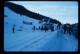
File contains slides depicting recreational activities on Tabor Mountain in Prince George, B.C.
Image depicts numerous skiers standing near a finish line somewhere on Tabor Mountain in Prince George, B.C.
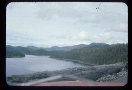
Image depicts the Skeena River somewhere near Prince Rupert, B.C.
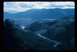
Image depicts the Fraser River from the Moran railway point in the Lillooet area.
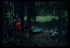
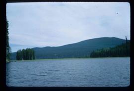
Image depicts the canoe group preparing to canoe on Beaver Pond, which is the start of Kibbee Lake.
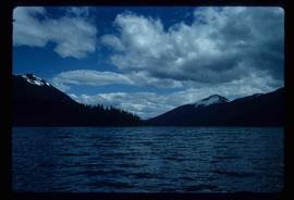
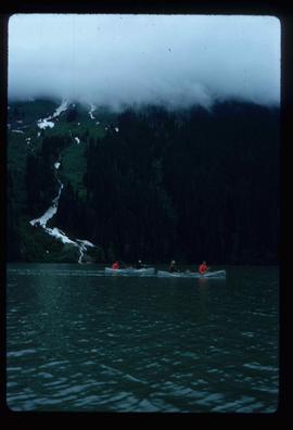
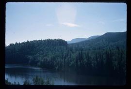
Image depicts Isaac Lake.
Image depicts a section of Isaac Lake which is apparently known as the "chute."
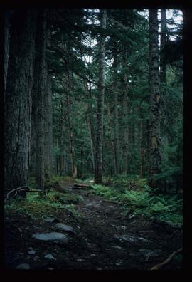
Image depicts the path taken during the portage to McCleary Lake.
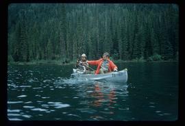
Image depicts two individuals fishing in a canoe on McCleary Lake. The slide is also labelled "dolly," likely meaning the fish in the net is a Dolly Varden trout.
Image depicts four individuals canoeing on Lanezi Lake.
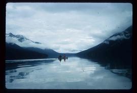
Image depicts two individuals canoeing on Lanezi Lake.
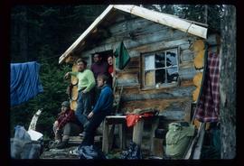
Image depicts the canoe group at the Turner Creek Cabin by Lanezi Lake.
Image depicts two unknown individuals pulling a canoe through Babcock Lake's three mile creek.
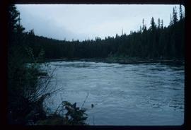
Image depicts the river channel leading to the Spectacle Lakes.
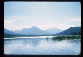
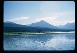
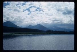
Image depicts a slough area while on approach to Bowron Lake.
Image depicts a slough area while on approach to Bowron Lake.
Image depicts a slough area while on approach to Bowron Lake.
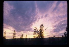
Image depicts the sky at either dusk or dawn, from an unknown location.
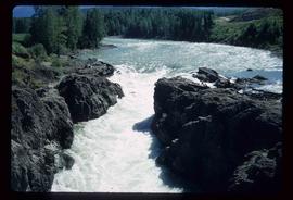
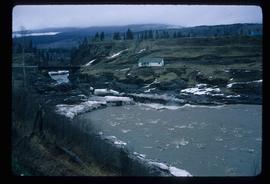
Image depicts the Bulkley River near Moricetown, B.C.
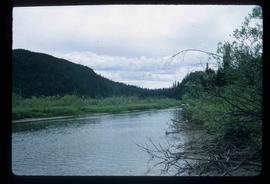
Image depicts the Bulkley River.
Image depicts the Skeena River at Hazelton, B.C.
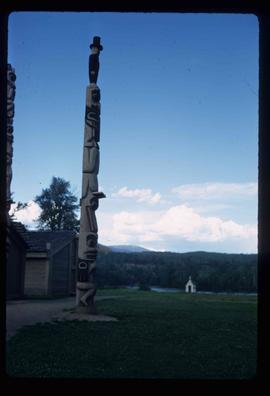
Image depicts a totem pole in the historical village of 'Ksan near Hazelton, B.C.
Image depicts Burns Lake, B.C.
File consists of a duotang containing typescript document titled "Pioneer interviews" prepared by the Prince George University Women's Club that lists oral history holdings at the Prince George Public Library.
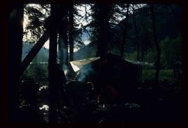
Image depicts a camp at the Betty Wendle campsite at Isaac Lake.
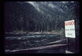
Image depicts a log jamb at the Isaac Falls.
Image depicts the river channel leading to the Spectacle Lakes.
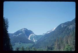
Image depicts mountains, taken from the river channel leading to the Spectacle Lakes.
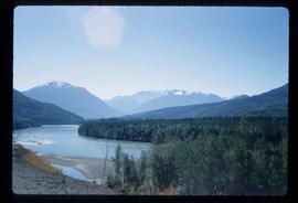
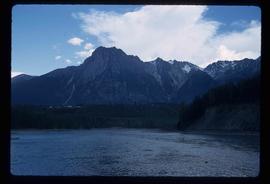
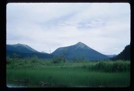
Image depicts a mountain range located somewhere along the Skeena River.
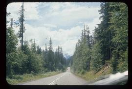
Image depicts Highway 16 en route to Prince Rupert, B.C.
File consists of clippings, notes, and reproductions relating to discussions of downtown Prince George development. Includes: "Core plans: 'Right location, wrong design'" in the Prince George Citizen newspaper (Feb. 1982) and "Historical continuity and the proposed town centre" brief submitted to City Council by Heritage Advisory Committee (July 1981).
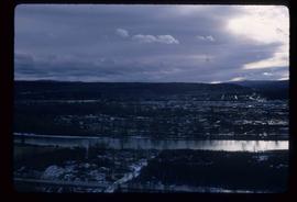
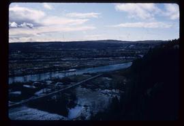
Image depicts a view of Prince George from the cutbanks.
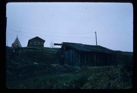
Image depicts a few old buildings, as well as several unknown individuals somewhere in Moricetown, B.C.
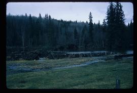
Image depicts a beaver dam somewhere in Hazleton, B.C.
File consists of original and photocopied newspaper clippings regarding Cottonwood Island and Island Cache, predominantly from the Prince George Citizen.
File consists of maps and plans depicting the Cottonwood Island area in Prince George. Includes:
- "Plan of Subdivision pursuant to the replotting provisions of the Municipal Act of Parcel A of Plan 25046, of District Lots 343, 662, 1511, 4736, and 7813, Cariboo District" by McWilliam, Whyte, Goble & Associates B.C. Land Surveyors for the City of Prince George, 26 July 1979 (reproduction on 2 sheets)
- "Cottonwood Island" original draft map with annotations by Kent Sedgwick; the map may have been created by Sedgwick during his time as Senior City Planner with the City of Prince George [197-?]
- "Prince George B.C., Fraser Subdivision, Mile 146.05" plan for Canadian National Railways by Lockwood Survey Corporation Ltd., 1967. This very large technical drawing shows CN leases and private property buildings on Island Cache in detail.
- McWilliam-Whyte-Goble & Associates, B.C. Land Surveyors, "Plan Showing Sections in Proposed Lakeland Mill Site", July 1978 (original reproduction).
- Carroll, Hatch & Associates, "Lakeland Mills (1973) Ltd., Prince George, B.C., Stud Mill Studies, Site Plan", 31 July 1978 (original reproduction).
Subseries consists of material collected by Kent Sedgwick for research regarding the communities along the East Line of the Grand Trunk Pacific Railway in Central British Columbia, particularly between Prince George and McBride. These communities and locations include, among others, Shelley, Willow River, Sinclair Mills, Longworth, Dunster, Tete Jaune, Valemount, Mount Robson, and the Yellowhead Pass. Research on these communities was conducted during Kent Sedgwick's involvement in the UNBC-led Upper Fraser Historical Geography Project. The files primarily consist of research notes, audio and transcripts of oral interviews, and photographs of the East Line communities.
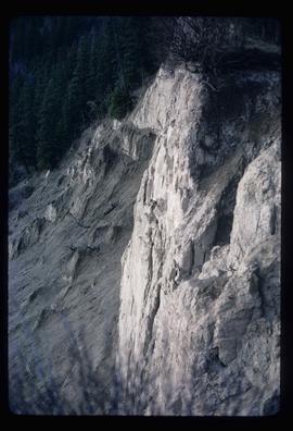
Image depicts a cutbank on the Nechako River in Prince George, B.C.
Series contains material created during Kent Sedgwick’s teaching appointments at the College of New Caledonia and the University of Northern British Columbia. He held a position as a Geography Instructor at CNC from 1970 until 1983 and did frequent guest lectures at UNBC until he became an adjunct professor from 2003 until 2009. He conducted guest lectures and taught course on historical geography and local history. The files primarily consist of lectures, notes, and correspondence between Sedgwick and the institutions.
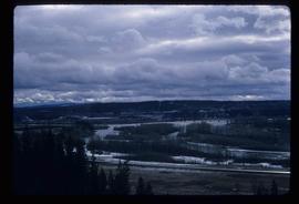
Image depicts the Fraser River from the vantage point of the cutbanks in Prince George, B.C.
Image depicts a view of Prince George from the cutbanks on the Nechako river.
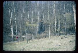
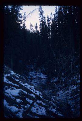
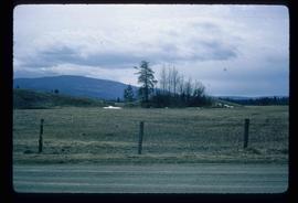
Image depicts a section of forest in the Bulkley Valley.
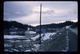
Image depicts the Bulkley River near Moricetown, B.C.
Image depicts part of the McMillan Creek Trail in the McMillan Regional Park in Prince George, B.C.
Image depicts part of the McMillan Regional Park in Prince George, B.C.
Image depicts the McMillan Creek from Northwood Pulpmill Road, in Prince George, B.C.
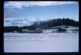
Image depicts a farmhouse on Old Summit Road in Prince George, B.C.
Image depicts an esker at Bednesti Lake, B.C.
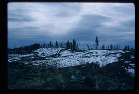
Image depicts a crevasse filling ridge somewhere in the Bulkley Valley, B.C.
