2023.2.2.13.3.45
·
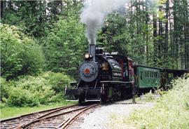
Item
·
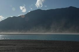
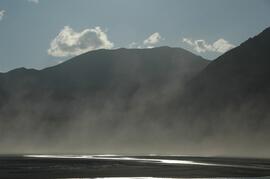
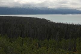
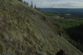
9 Jul. 2007
Part of Dr. Paul Sanborn fonds