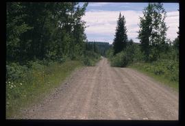
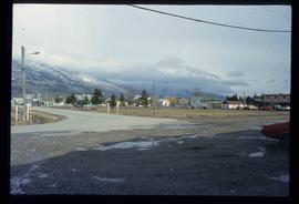
Image depicts Bellos Road, most likely in Red Rock, B.C.
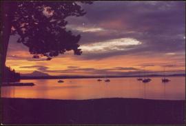
Handwritten annotation on verso reads: “Sunset at North Cove Thetis Island Adam Hunter”.
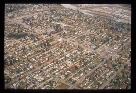
Image depicts an aerial view of a Prince George residential section between Highway 97, Carney Street and 10th Ave looking north. Map coordinates 53°54'54.0"N 122°46'00.4"W
File consists of notes, clippings, and reproductions relating to a downtown walking tour conducted by Sedgwick for the British Columbia Historical Federation 2003 conference. Also includes photographs depicting participants of the BC Historical Federation Conference on a downtown walking tour in Prince George (2003).
Item is an original 2003 city map depicting Vancouver and the Fraser Valley published by Rand Mc Nally, with annotations in highlighting.
File consists of clippings related to the Peace River region. Also includes photographs taken by Kent Sedgwick depicting Mackenzie, BC and the Peace River region (2003).
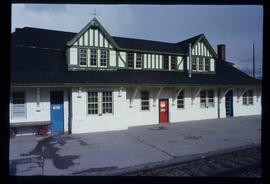
Image depicts the CN Station in McBride, B.C.
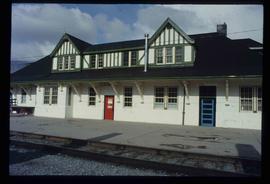
Image depicts the CN Station in McBride, B.C.
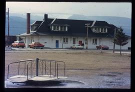
Image depicts the rear-end of the CN Station in McBride, B.C.
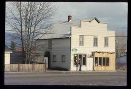
Image depicts an old house somewhere in McBride, B.C.
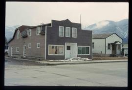
Image depicts a machine shop somewhere in McBride, B.C. The sign above the door reads "McBride Air Cooled Engine Services Ltd."
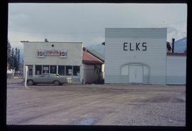
Image depicts the Elks Hall in McBride, B.C.
File consists of notes, clippings, and reproductions relating to a book chapter titled "Frontier Outpost to 'Northern Capital': the functional transformation of Prince George, B.C., Canada" written by Kent Sedgwick and Greg Halseth for "Beyond the Metropolis: Urban Geography as if Small Cities Mattered". Includes: "RE: Book Chapters" printed email from Ben Ofori-Amoah to Greg Halseth and Kent Sedgwick (14 Sept. 2004). Includes a CD containing notes and material relating to the book chapter co-written by Kent Sedgwick and Greg Halseth (2004).
File consists of notes and reproductions relating to historical geography methodology.
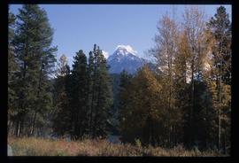
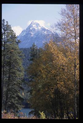
Image depicts Mt. Fitzwilliam.
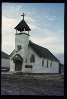
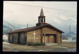
Image depicts a church somewhere in McBride, B.C. The sign in front possibly reads "St. Patrick's Church."
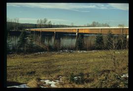
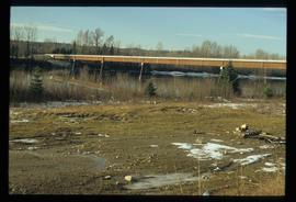
Image depicts the new Hansard Bridge. Map coordinates 54°04'57.9"N 121°51'10.1"W
Image depicts the new Hansard Bridge. Map coordinates 54°04'57.9"N 121°51'10.1"W
Campagnolo stands at portable podium next to large speaker and an unidentified aide-de-camp. Photograph was taken at Terrace Gardens, Government House, Victoria, B.C.
Handwritten annotation on verso reads: “Goodbye to Friends of Govt House Garden Society”.
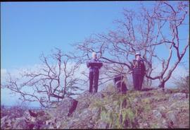
Photograph was taken at Government House in Victoria, B.C.
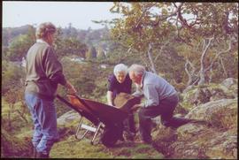
Handwritten annotation on verso reads: “Moving Rocks on the Terraces”.
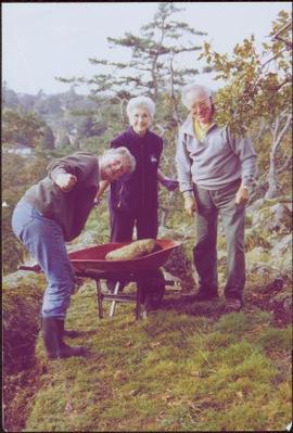
Photograph was taken at Government House in Victoria, B.C.
Handwritten annotation on verso reads: “Govt House, Working on Terrace Garden, Nov 2004".
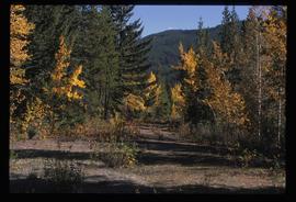
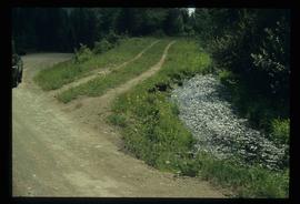
Image depicts an old road through the trees near Yellowhead Pass. The slide labels it as the origin of the Yellowhead highway.
Image depicts Mt. Fitzwilliam.
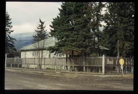
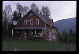
Image depicts a house somewhere in McBride, B.C.
Image depicts McBride, B.C.
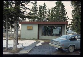
Image depicts the McBride District Centennial Library.
Image depicts a house with torn-up siding. The slide is labelled: "Mellos house relocated from Penny." The location is uncertain.
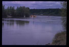
Image depicts what appears to be a ferry crossing a river at an uncertain location.
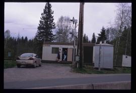
Image depicts two unidentified individuals speaking to each other in the doorway of what appears to be a mobile home. The location is uncertain.
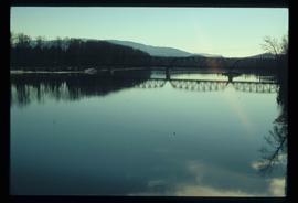
Image depicts the Hansard railroad bridge taken from the new Hansard vehicle bridge. Map coordinates 54°04'58.1"N 121°50'58.0"W
Image depicts the All Saints Anglican Church in McBride, B.C. The slide labels it as having "moved to PG."
File consists of notes, clippings, and reproductions relating to the Cameron Street Bridge in Prince George. Includes: "Oral History Consent Form" document signed by Kent Sedgwick and researcher Angela Quibell (8 Aug. 2007); "What Price Heritage? The Case of the Cameron Street Bridge in Prince George, British Columbia" typed document by Angela Quibell (2007); "Interview with Kent Sedgwick" typed transcript of an oral interview with Kent Sedgwick and Angela Quibell (8 Aug. 2007); and "Nechako Crossing" typed document by Kent Sedgwick (Nov. 2005). Also includes photographs depicting the Nechako bridge model (2008), the plaque describing the history of the 3rd Cameron Street Bridge built in 2009, and the 1st Cameron Street Bridge built in 1916 (photographic reproduction ca. 2008).
File consists of notes and reproductions relating to a walking tour of the Millar Addition in Prince George.
File consists of notes and reproductions relating to place-based computing geography methodology regarding inter-disciplinary research on experiences of place to teach history and geography and used by Kent Sedgwick.
File consists of notes and reproductions relating to maps and mapping in British Columbia. File primarily consists of resources from the University of Northern British Columbia, the College of New Caledonia, the Prince George Public Library, and printed secondary sources for where to find maps, mapping techniques, how to produce maps, and surveying processes. Includes: "Prince George and District map collection finding aid" typescript document from the Fraser-Fort George Regional Museum and Archives (Oct. 1989).
File consists of notes, reproductions, and letters relating to Connaught Hill in Prince George. Includes: "Connaught Hill" handwritten notes by Kent Sedgwick (2009); "Prince George in bloom" thank you letter from the Prince George in Bloom Committee to Kent Sedgwick (4 Aug. 2005); and two photographs depicting men at the 2005 National Communities in Bloom Competition in Prince George (2005).
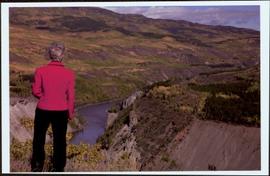
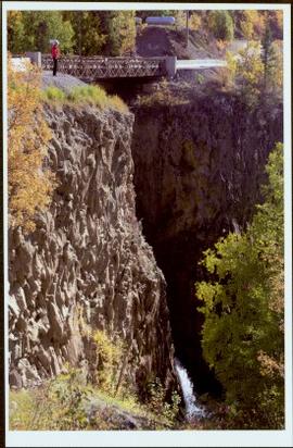
Handwritten notation affixed to verso reads: “Stikine Canyon Sept 2006”.
File consists of maps and notes relating to the original Prince George city plans by Brett and Hall. Brett & Hall were landscape architects from Boston, MA who designed the original plan for Prince George, including features such as the Crescents neighbourhood. Includes photographs depicting the original plans by Brett & Hall for Prince George (2006).
Image depicts the Dunlevy Creek area somewhere near Dawson Creek, B.C. The slide is simply labelled "Dunlevy irrigation" for uncertain reasons.
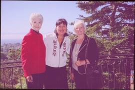
Trees and town can be seen from balcony, and mountains are visible across water in background. Handwritten annotation on verso reads: “Aug 2006, Her Honor, Dorothy Grant & Carole Sabiston”.
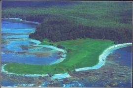
Handwritten annotations on verso read: “Lawn Pool, Memorial, West Coast, VI, Summer ’06,” and “Sept. 15, 2006”.
An 'X' is marked in ink on forest in centre.
The Lieutenant Governor stands next to bridge and highway at top of image, cliffs and white water rapids visible below.
File predominantly consists of photocopies of newspaper articles, along with notes and reproductions relating to the development of the Prince George townsite and subdivision of Fort George, especially the area covered by Cariboo District Plan 1268. Includes material on investments and sale of lots in Prince George, Grand Trunk Pacific development in Prince George, and incorporation of the city of Prince George.
Image depicts rail road tracks through a forest, as well as a river; located in Soda Creek, B.C.
This map is the October 2006 amendment (Bylaw 7807) of the Schedule C of the 2001 Official Community Plan, Bylaw No. 7281 for the City of Prince George. This Schedule C map shows the long range land use for the City of Prince George.
File consists of notes and reproductions relating to Soda Creek, BC. Also includes photographs depicting Soda Creek (2006).
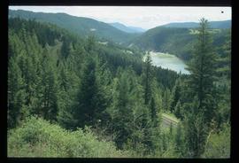
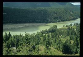
Image depicts a forest and river in Soda Creek, B.C.
This map is the May 2006 amendment (Bylaw 7807) of the Schedule C of the 2001 Official Community Plan, Bylaw No. 7281 for the City of Prince George. This Schedule C map shows the long range land use for the City of Prince George.
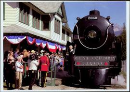
Front of engine reads "BRITISH COLUMBIA, CANADA", "2860". Decorated building stands in left background. A man with large video camera and an RCMP officer in a red serge can be seen standing in crowd. Mountain peak visible in distance.
![City of Prince George - Schedule C of the Official Community Plan - Long Range Land Use Map [October 2006 Amendment]](/uploads/r/northern-bc-archives-special-collections-1/6/d/6/6d643c10801eba2ac493689972e57429dba42ec7592f54cb55151b96362d7048/2023.5.1.40_-_2006_Oct_-_City_of_Prince_George_Long_Range_Land_Use_Map_JGP85_tb_142.jpg)
![City of Prince George - Schedule C of the Official Community Plan - Long Range Land Use Map [May 2006 Amendment]](/uploads/r/northern-bc-archives-special-collections-1/6/5/5/65536bc04aa97580c140131651dc357dfe5c3a1315822394f388d96940bc39cb/2023.5.1.39_-_2006_May_-_City_of_Prince_George_Long_Range_Land_Use_Map_JPG85_tb_142.jpg)
