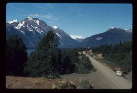
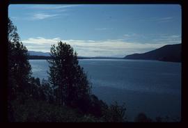
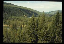
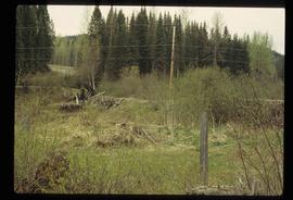
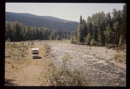
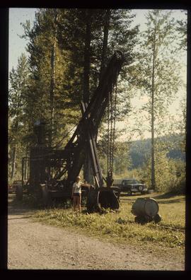
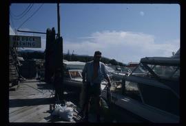
Image depicts Sue Sedgwick standing next to a camper.
Image depicts Sue Sedgwick standing on the bank of a river.
Image depicts what is possibly either the Fraser or the Thompson River.
Image depicts numerous grave markers at an uncertain location.
Image depicts a small graveyard at an uncertain location.
Image depicts an old and abandoned, collapsing church at an uncertain location.
Image depicts what is possibly either the Fraser or the Thompson River.
Image depicts three picnic tables, one of which is occupied with three unknown individuals, on a beach somewhere in Kitimat, B.C.
Image depicts two individuals seated at a picnic table while a third stands closer to the water on a beach somewhere in Kitimat, B.C. What appears to be a harbour can be seen on the water.
Image depicts the Alcan smelter in Kitimat, B.C.
Image depicts a view of the forest and lake around Kitimat, B.C.
Image depicts a large group of people enjoying the Mount Layton Hot springs in the Lakelse Lake Provincial Park north of Kitimat, B.C.
Image depicts numerous docked boats in Kitimat, B.C.
Image depicts numerous docked boats, as well as many houses on the shore in the background; located in Kitimat, B.C.
Image depicts a harbour in Kitimat, B.C.
Image depicts what is possibly the Alcan smelter in Kitimat, B.C.
Image depicts a view of the area surrounding Kitimat, with power-lines in the foreground the city partially visible in the distance.
Image depicts what is possibly either the Hecate Strait or Minette Bay from somewhere near Kitimat, B.C.
Image depicts a man holding two fish on a dock in Kitimat, B.C.
Image depicts what is possibly either the Hecate Strait or the Minette Bay from somewhere near Kitimat, B.C.
Image depicts the Nass River from a bridge at an uncertain location.
Image depicts a bridge over the Nass River.
Image depicts a south-west view of the Nass Valley.
Image depicts a truck parked on the side of the Cassiar Highway.
Image depicts the Meziadin Falls in Meziadin Lake Provincial Park.
Image depicts several individuals looking down into a closed off section of a river in Meziadin Lake Provincial Park. They are counting fish.
Image depicts several salmon somewhere in the Meziadin Lake Provincial Park.
Image depicts the fish ladder of the Meziadin Falls, designed to help fish swim upstream.
Image depicts the Meziadin Lake and the Bear Pass in the distance.
Image depicts the Meziadin Lake.
Image depicts numerous old and ruined cabins in Quesnelle Forks.
Image depicts the forest surrounding Quesnelle Forks.
Image depicts a view of the small town of Likely, B.C.
Image depicts a collapsed wooden structure, possibly a bridge, which is likely located somewhere near Quesnelle Forks.
Image depicts a dirt road and power-lines running through the woods, possibly near Quesnelle Forks.
Image depicts an old building which has collapsed into a pile of wood, possibly in Quesnelle Forks.
Image depicts a view of Quesnelle Forks and the nearby river.
Image depicts numerous abandoned and ruined cabins at Quesnelle Forks.
Image depicts a blue truck and a camper in the wooded area surrounding the townsite of Keithley Creek, B.C.
Image depicts the dirt road leading to Keithley Creek.
Image depicts the townsite of Keithley Creek, B.C.
Image depicts the Keithley Creek, with several unknown individuals walking along the banks.
Image depicts a sign on the dirt road leading to Barkerville from Keithley Creek. The sign reads: "Barkerville 40 (via Yanks Peak) Maximum elevation 6200 FT. Summer road only. Steep grades and switchbacks not recommended for other than 4-wheel drive vehicles. You are entering an isolated mountain area; you will be on your own."
Image depicts a woman standing next to a steam shovel, located in Quesnelle Forks.
Image depicts a steam shovel, located in Quesnelle Forks.
Image depicts the upper end of the Bullion Pit in Likely, B.C.