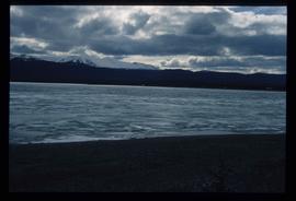
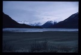
Image depicts a lake somewhere along what is possibly the Atlin Road to Atlin, B.C.
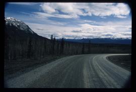
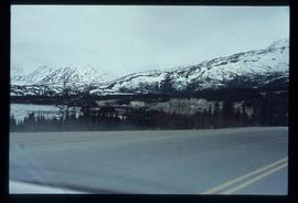
Image depicts what is possibly Atlin Road. Numerous mountains are visible in the distance.
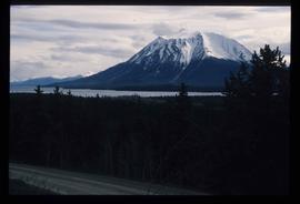
Image depicts a mountain, possibly Atlin Mountain.
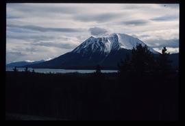
Image depicts a mountain, possibly Atlin Mountain.
Image depicts Bennett Lake near Carcross, Y.T.
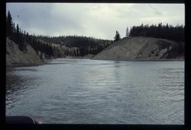
Image depicts a river at an uncertain location, but possibly in Miles Canyon near Whitehorse, Y.T.
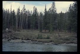
Image depicts numerous trees on the bank of a river, possibly in Miles Canyon near Whitehorse, Y.T. The slide is labelled "canyon city."
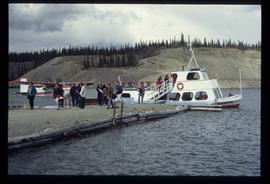
Image depicts numerous unidentified individuals getting off a boat which bears the name "Schwatka." It is located somewhere in Miles Canyon.
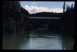
Image depicts the Robert Lowe Bridge, built in 1922, in the Miles Canyon near Whitehorse Y.T.
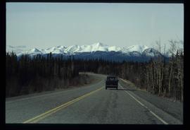
Image depicts a van on a highway with mountains in the distance; the location is uncertain, though it is possibly along the Alaska Highway.
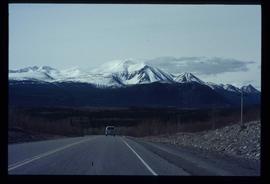
Image depicts a van on a highway with mountains in the distance; the location is uncertain, though it is possibly along the Alaska Highway.
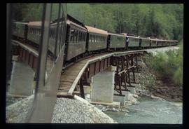
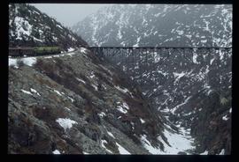
Image depicts the White Pass Train crossing over a railway bridge at an uncertain location.
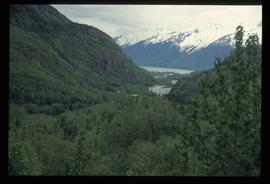
Image depicts a view over a forested, mountainous area and a river somewhere in the area of Skagway, Alaska.
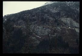
Image depicts a mountain side somewhere along the White Pass railway. The thin ridge along the mountain side is possibly either a highway or part of the railway.
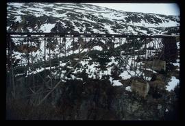
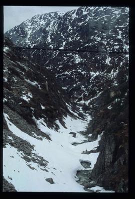
Image depicts an old trestle along the White Pass railway.
Image depicts an old trestle along the White Pass railway.
Image depicts an old trestle along the White Pass railway, and the White pass Train on the left of the image.
File consists of aerial photographs depicting the Fraser River Big Bend, where the Fraser River changes direction from westbound to southbound at its "Big Bend" near the Huble Homestead Historic Site, 45 km north of Prince George, British Columbia.
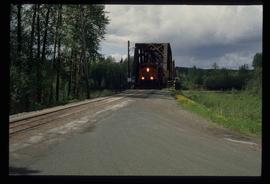
Image depicts a train on the Hansard Bridge across the Fraser River looking west. Map coordinates 54°04'37.7"N 121°50'39.9"W
Image depicts the small town of Fraser, B.C. Located on the Klondike Highway.
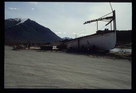
Image depicts half of a ship, which is named the Tutshi, in Carcross, Y.T.
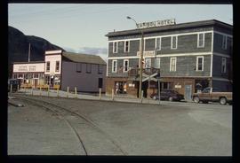
Image depicts the Caribou Hotel and the Matthew Watson General Store in Carcross, Y.T.
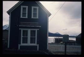
Image depicts a building which once served as the residence for two nurses in Atlin, B.C. A sign in front of the house reads: "Grateful Atlinites built this house in 1902 for their first missionary nurses, Helen Bone and Elizabeth Mitchell, who came here in 1899 and lived in a crude shack while valiantly and humanely caring for sick and dying pioneers."
This map depicts the City of Prince George's plan for soil removal and deposit.
Image depicts the Fraser River at Paddlewheel park, with a train on the other side of the river, in Prince George B.C.
Image depicts Ash Street and Patricia Boulevard in Prince George, B.C.
File consists of lists and printed emails relating to slides and photographs depicting the East Line. Includes a CD that contains slides and photographs depicting the East Line (2000).
Image depicts the Northwood Pulpmill in Prince George, B.C. taken from above the Nechako River looking east. Map coordinates 53°56'00.0"N 122°44'29.7"W
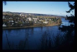
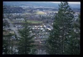
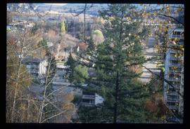
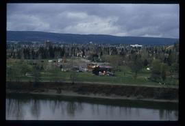
Image depicts a view of Prince George from an uncertain location.
Image depicts a view of Prince George.
Image depicts a view of Prince George.
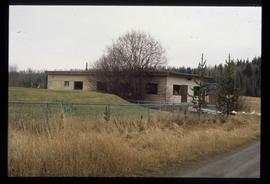
Image depicts a sawmill in Prince George, B.C.
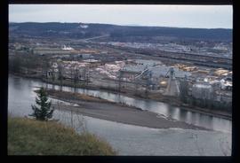
Image depicts Prince George Sawmill taken from across the Nechako River looking southwest. Map coordinates 53°56'00.0"N 122°44'29.7"W
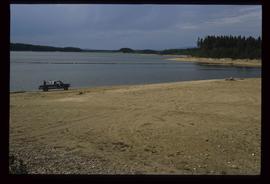
Image depicts a truck parked on a beach in Mackenzie, B.C.
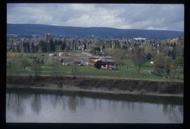
Image depicts a view of Prince George.
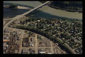
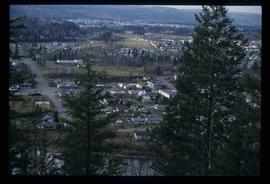
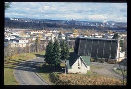
Image depicts a view of the Millar Addition suburb from Connaught Hill in Prince George, B.C.
File consists of notes and reproductions relating to Kent Sedgwick's article, "Crossing the Divide: Northern Approaches to New Caledonia", which was published in vol. 12 of the Western Geography journal in 2002.
Image depicts downtown Prince George taken from across the Nechako River looking south. Map coordinates 53°56'00.0"N 122°44'29.7"W
Image depicts Prince George Sawmill taken from across the Nechako River looking southwest. Map coordinates 53°56'00.0"N 122°44'29.7"W
Image depicts Prince George with numerous trees obscuring most of the view.
Image depicts Prince George.
Image depicts the Fraser River at Paddlewheel park, with a train on the other side of the river, in Prince George B.C.
Image depicts a view of Prince George.
This map is Schedule C of the 2001 Official Community Plan, Bylaw No. 7281 for the City of Prince George. This Schedule C map shows the long range land use for the City of Prince George.
File consists of reproductions and pamphlets relating to outdoor recreation in Prince George. Includes material regarding bird watching, fishing, hiking, and regional and provincial parks. Includes: "Prince George Backroads" clipped article from The Angler's Atlas magazine (Sept. 2004); "Bird Viewing around Prince George" pamphlet prepared by the Province of British Columbia Ministry of Environment, Lands and Parks in cooperation with the Prince George Naturalist Club; "Forests for the World" pamphlet prepared by the City of Prince George; and "Regional Parks" pamphlet prepared by the Regional District of Fraser-Fort George.
File consists of notes and typed documents relating to a field trip along the East Line for the Planning Institute of British Columbia.
Image depicts a cookhouse at an uncertain location.
File consists of notes and reproductions relating to pre-emption crown land grants between 1869 until 1912 in British Columbia, primarily in Prince George. File primarily consists of printed copies of pre-emptor maps of Prince George and region from the Royal BC Archives and Museum.
File consists of notes and reproductions relating to Prince Arthur the Duke of Connaught, the third son of Queen Victoria who took the place of Governor General in Canada in 1911. Connaught Hill in Prince George was named in rememberance after Prince Arthur. File predominantly consists of printed websites and newspaper articles describing Prince Arthur, the Duke of Connaught, and his role as Governor General.
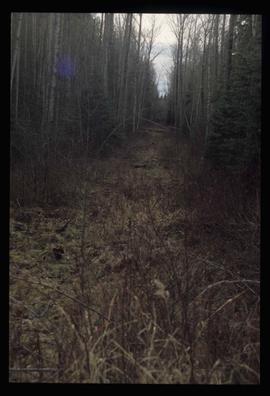
Image depicts a view of the south direction of the grade for the British Columbia Railway, which was formerly known as the Pacific Great Eastern until 1972. It is at an uncertain location, possibly near Woodpecker or Prince George.
