2013.6.36.1.003.078
·
Item
·
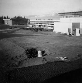
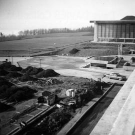
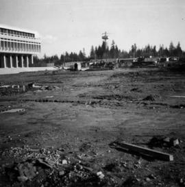
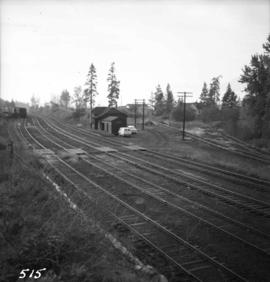
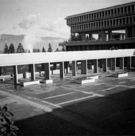
Nov. 1965
Part of David Davies Railway Collection
Photograph depicts Simon Fraser University in Burnaby, B.C. The view is looking northeast towards the northwest corner of the Academic Quadrangle.