Item is an original orthophoto depicting Cranbrook hill's greenway and multi-use trail and was published by the Indistrial Forestry Service Ltd.
Item is an original 1983 map depicting Salmon River in British Columbia, published by the Province of British Columbia Ministry of Environment. The map includes pen and pencil annotations.
Item is an original 1976 map depicting Prince George, published by the Province of British Columbia Ministry of the Environment.
Item is an original 1967 map depicting Prince George in British Columbia, published by the British Columbia Department of Lands, Forests and Water Resources. Map includes pen markings.
Item is an original map depicting the West Lake harvesting forest and is a partial topographical map. The map includes pen markings.
Item is an original 1985 map depicting Red Rock area of British Columbia, published by the Department of Energy, Mines and Resources. The map includes pen markings.
Item is an original 1987 map depicting Saxton Lake in British Columbia, published by the Department of Energy, Mines and Resources Ottawa, Canada. The map includes pen markings.
Item is an original 1972 map depicting Punchaw Lake in British Columbia, published by the Department of Energy, Mines & Resources in Ottawa. The map includes pen markings.
Item is an original 1976 map depicting Spakwaniko Creek in British Columbia, published by the Department of Energy, Mines & Resources in Ottawa, Canada. The map includes pen markings.
Item is a photocopied 1961 National Topographic System map of Sinclair Mills in British Columbia, published by the Canadian Department of Geography. The map includes pen markings.
Item is an original 1961 map depicting Giscome in British Columbia, published by the Army Service Establishment, R.C.E. Map includes pen markings.
Item is an original map depicting the Bateman forestry route. Map includes pen markings.
Item is an original 1961 partial map depicting Giscome, published by the Army Service Establishment, R.C.E. Map includes pen markings.
Item is an original map depicting the West Lake forest.
Item is an original 1961 map depicting Prince George .
Item is an original map depicting Prince George.
Item is an original map depicting West Lake pulp harvesting forest.
Item is an original 1974 map depicting Isle Pierre, published by the Department of Energy, Mines and Resources in Ottawa. Map includes pen markings.
Item is an original 1952 map depicting Isle Pierre in British Columbia, published by the British Columbia Department of Lands and Forests. Map includes pen markings.
Item is an original map depicting the Nechako River and Isle Pierre in British Columbia.
Item is an original 1986 map depicting Salmon Valley in British Columbia and was published by the Department of Energy, Mines and Resources Ottawa Canada.
Item is an original 1954 map depicting Salmon Valley British Columbia, published by British Columbia Department of Lands and Forests. Map includes pen markings.
Item is an original 1982 map depicting Prince George British Columbia, published by the Department of Energy, Mines and Resources in Ottawa. Map includes pen markings.
Item is an original 1952 map depicting Isle Pierre British Columbia, published by the British Columbia Department of Lands and Forests.
Item is an original piece of an annotated map depicting West Lake pulp harvesting forest.
Topographic map depicting regions, communities, unexplored areas, bodies of water, transport routes, and glaciers.
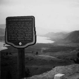
Photograph depicts a view looking northwest at Osoyoos Lake, B.C.
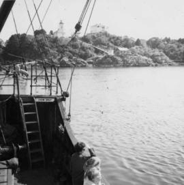
Photograph depicts a view of Friendly Cove, near Nootka, on the west coast of Vancouver Island. View is taken from the M.V. Uchuck III.
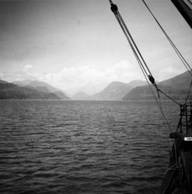
Photograph depicts a view near Nootka, looking north towards Bligh Island. Photo taken from the M.V. Uchuck III.
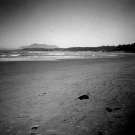
Photograph depicts Wickaninnish Beach, north of Ucluelet on Vancouver Island.
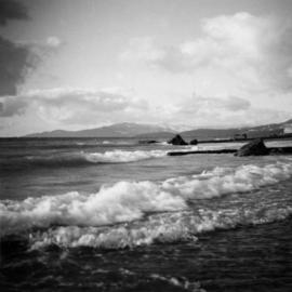
Photograph depicts Beach Ave. in Vancouver, with the photo taken near the swimming pool and looking west. Photo was taken after a storm.
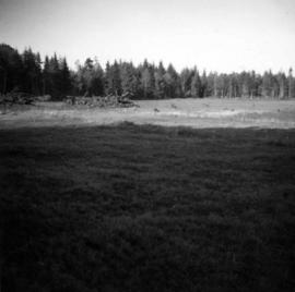
Photograph depicts fields recently cleared from virgin bush on Miracle Breach on Vancouver Island.
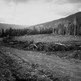
Photograph depicts land clearance between Monashee Pass and Lumby, B.C.
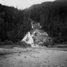
Photograph depicts Granite Falls near the Wigwam Inn, Indian Arm, Vancouver, B.C.
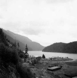
Photograph depicts a view of Indian Arm, looking south from Granite Falls.
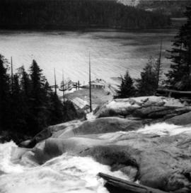
Photograph depicts Granite Falls and wharf at Indian Arm, looking west from the top of the falls.
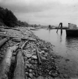
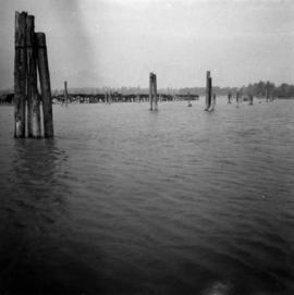
Photograph depicts a the shoreline of Vancouver Harbour, looking east from the property line of the Burrard Grain Elevator, 375 Low Level Rd, North Vancouver.
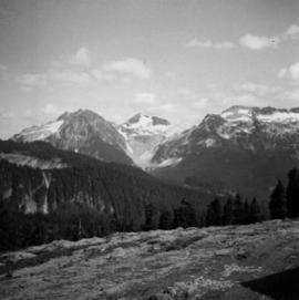
Photograph depicts the view looking north from Diamond Head Lodge in Garibaldi Park, about 20 miles northeast of Squamish. Believed to be "Bookworm range" at 7910 ft.
Photograph depicts the entrance to the Squamish River at Squamish, looking upstream. The pier on the left belongs to the original logging railway, circa 1909-1925.
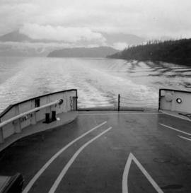
Photograph depicts a view from the ship the Queen of Powell River, en route from Earl Cove to Saltery Bay.
Collection consists of a photograph album from A. H. Holland, a British Columbia Land Surveyor, that was created while working in the Central Interior, the Cariboo, the Chilcotin and southeast British Columbia. This album visually documents steamboat, stagecoach and horse travel in British Columbia and also captures the prepatory work and dawn of the age of rail travel.
Sem títuloSeries consists of a photograph album from A. H. Holland, a British Columbia Land Surveyor, that was created while working in the Central Interior, the Cariboo, the Chilcotin and southeast British Columbia. This album visually documents steamboat, stagecoach and horse travel in British Columbia and some First Nation village sites. It also captures preparatory survey work and dawn of the age of rail travel.
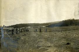
Photograph depicts five men standing in a field of cut hay. Some men are holding scythes, buildings, forest and rolling hills in background.
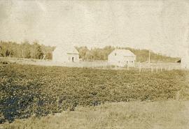
Photograph depicts buildings, field, and fenced areas with forest in the background.
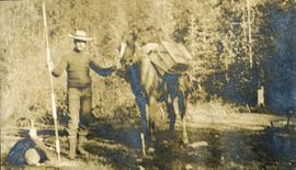
Photograph depicts man (presumably A.H. Holland) with survey pole standing next to loaded pack horse.
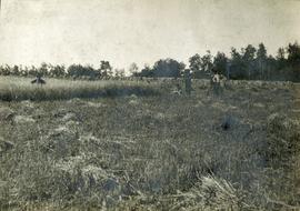
Photograph depicts 5 men in a field using scythes to cut grain.
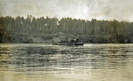
Photograph depicts a scow loaded with three or more pack horses with men attending. The scow is crossing the river, guided by a cable. There is one building, and forest in the background.
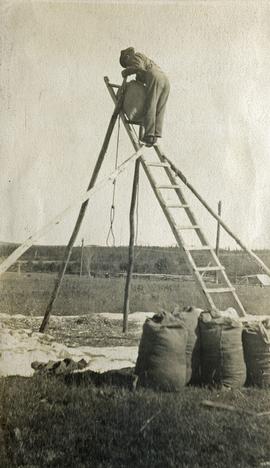
Photograph depicts a man standing on a high ladder pouring grain from a sack to a tarp below. Sacks of grain in the foreground, field and trees in the background.
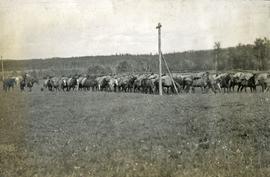
Photograph depicts twelve or more horses loaded with packs. Three or more men attending. There is a telegraph pole in the midground, treed low hills in the background. The horses are standing in a field.
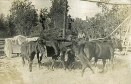
Photograph depicts six horses harnessed to a center pole. Three men attend the horses, two men with pitchforks stand atop a wagon loaded with cut grain stocks in the background.
