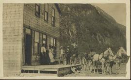
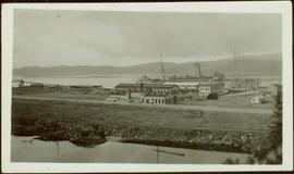
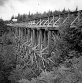
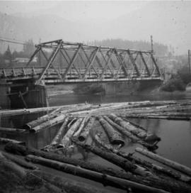
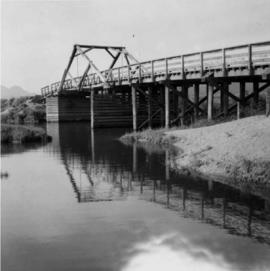
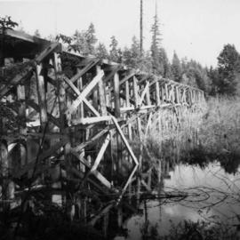
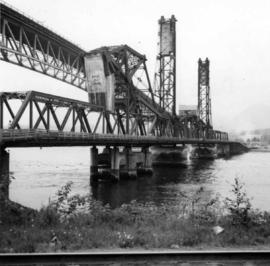
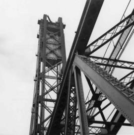
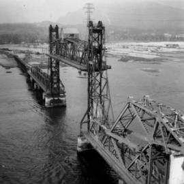
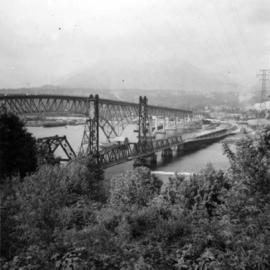
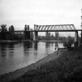
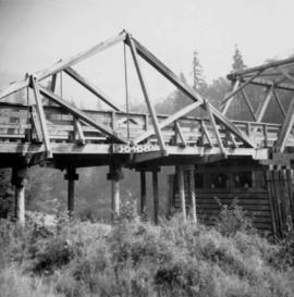
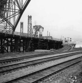
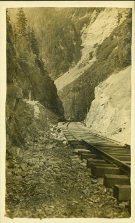
Photograph is a printed postcard depicting a section of railroad track going through a mountain pass. Possibly near Stewart B.C.
Photograph is a printed postcard depicting a team of horses harnessed to a buckboard; a group of people standing on a platform outside a building near Stewart B.C. There are mountains in the background.
Photograph depicts a steamship "Camosun" in water with mountains in the background. Possibly near Stewart B.C.
Photograph depicts an aerial view of the Prince Rupert Fairview Cargo Terminal.
Photograph depicts the fishing vessel “Callistratus” at the Fairview Terminal in Prince Rupert.
Photograph depicts an interior view of the bridge of the fishing vessel “Callistratus” at the Fairview Terminal in Prince Rupert.
Photograph depicts a docked ship named “Aegean Sea” and a docked vessel named “Cape Ball” in Prince Rupert.
Photograph depicts the ship “Aegean Sea” in Prince Rupert.
Photograph depicts a view of the Prince Rupert grain facility from the railroad tracks.
Photograph depicts Iona Campagnolo with two men, two small children, many dogs, and a C-Gash aircraft near Cassiar.
Photograph depicts a large ship behind dock buildings. Railroad crosses foreground, hills visible on shore in background.
Handwritten annotation on verso reads: "Ship in Pr. Rupert dry dock during Great War 1915?".
Photograph depicts a large ship behind dock buildings. Railroad crosses foreground, hills visible on shore in background.
Handwritten annotation on verso reads: "Pr. Rupert Drydock".
Photograph depicts an unidentified individual leaning against a large overturned dugout canoe; barrel, bucket, and wood planks in foreground. Houses and other buildings can be seen on shore above beach, and two unidentified individuals stand in distance on far right.
Handwritten annotations on verso read: “Haida canoe on beach at Masset / ? 1898”; “No. 4 Page 5. Haida Canoe ready for steaming to [widen?] out and finish.”
An original negative of this photograph is held by the Canadian Museum of Civilization, no. 26664.
Handwritten annotation on verso reads: "Poling supplies up Nass River".
Group of six men sit and stand on small boat close to shore. Rev. W.E. Collison stands on far right (son of Marion and Archdeacon W.H. Collison).
Handwritten annotation on verso reads: "Dr. Macdonald Med officer (Kincolith) / Dr. [McQuarrie?] Med officer Victoria / Steven Clayton Native boat owner / Capt. Bary - Insp. of Indian Schools / W.E. Collison Indian agent. / Inspection trip to villages of upper Nass River".
Tugboat appears to be towing a long line of small boats.
Handwritten annotation on verso reads: "Fishing fleet coming home Nass River B.C."
Series consists of large format maps and plans relating to railways in British Columbia and Canada. Also includes oversize documents.
Map depicts south eastern British Columbia, with highlighted annotations by Davies to emphasize location of rail lines.
Map depicts railway lines in the state of Washington, including those crossing over the border into British Columbia.
Map depicts the province of British Columbia. Includes rail lines and historical notes about the province.
Map depicts the city of Vancouver and its railways.
Map depicts the CNR system in Canada and the United States and all of its connecting lines, including the Central Vermont Railway, the Grand Trunk Western Railroad, and the Duluth Winnipeg & Pacific Railway.
Map depicts the Cowichan Lake area, including rail trackage for the Western Forest Industries Logging Railway, the Canadian National Railway, and the BC Forest Products Logging Railway.
Architectural block plan depicts a proposed addition to the CNR roundhouse in Kamloops.
Architectural plan depicts a proposed standard 10 stall engine house with annex for machine shop and boiler room to be erected at Kamloops, BC.
Map depicts the cities of Summerland, Penticton, and Naramata. Annotated by Davies to emphasize the rail lines in the area.
Plan depicts a section, profile, and contour plan of the fill of the Lyon Creek Trestle bridge in the Clearwater CNR subdivision.
Plan depicts the location of the Lyon Creek Bridge and borrow pit on the CNR Clearwater subdivision.
Subseries consists of prints and negatives depicting railways in British Columbia, as well as a small selection of other subjects such as historical ships, buildings, vehicles, and bridges. All photographs created by David Davies.
Photograph depicts the False Creek Trestle bridge open and the Granville Bridge looking east.
Photograph depicts the B.C. Electric Railway swing bridge connecting Lulu Island to the mainland at New Westminster, looking north and taken from Lulu Island. The swinging span is left open except for the passage of freight trains.
Photograph depicts a wooden bridge over the Salmon River near Sayward, near Kelsey Bay, North Vancouver Island.
Photograph depicts a road trestle bridge for cars about halfway between south Wellington and Nanaimo Lake, southwest of Nanaimo.
Photograph depicts a road bridge at Squamish B.C. from the north bank.
Photograph depicts a bridge over the Alouette River, 3.5 miles north of Port Hammond in the Fraser Valley.
Photograph depicts a former logging railroad trestle west of Port Alberni, BC
Photograph depicts the piers of the south tower on the Lions Gate Bridge in Vancouver, BC
Photograph depicts the Lions Gate Bridge on west side looking south from the shore of North Vancouver, BC
Photograph depicts the Second Narrows railway bridge in Vancouver from the south bank. The bascule does not move.
Photograph depicts the north side lifting tower of the Second Narrows railway bridge in Vancouver, BC
Photograph depicts the Second Narrows Railway Bridge in Vancouver, BCwith the lifting span up.
Photograph depicts the road and rail bridges at Second Narrows, Vancouver B.C. The photograph was taken from Boundary Rd. looking north.
Photograph depicts the rail approach to the Second Narrows Railway Bridge in Vancouver, BCThe shot taken on CPR trackage and from underneath the road bridge on the south bank.
Photograph depicts the Second Narrows Railway Bridge, looking east.
Photograph depicts a bridge, possibly over the Fraser River.
Photograph depicts the road bridge crossing the south section of the north arm of the Fraser River at Fraser St. The view is from the north bank of Lulu Island.
Photograph depicts the Fraser St. road bridge over the north section of the north arm of the Fraser River, looking north from Mitchell Island to Vancouver, BC
Photograph depicts a CPR road and rail bridge at Mission City from the south bank looking towards the city.
Photograph depicts the swing span of the road and rail bridge at Mission City, looking upstream from the south bank.
Photograph depicts a bridge over the south Thompson River at the west end of Shuswap Lake at Squilax. The left or northern span used to be a lifting span for sternwheelers (pre 1920s?).