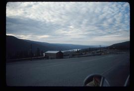
Image depicts a rail road construct from Highway 97 at Mile 126; the slide is also labelled "McAlister."
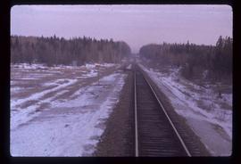
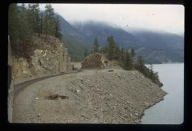
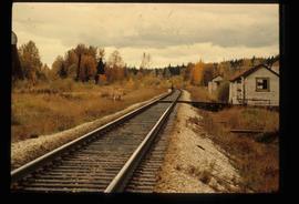
Image depicts rail road tracks at an uncertain location.
Image depicts rail road tracks west of Takla Landing.
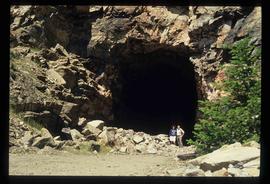
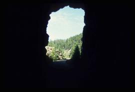
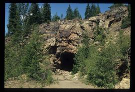
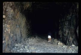
Image depicts a man and woman standing in the mouth of a tunnel from the old Kettle Valley Rail Road.
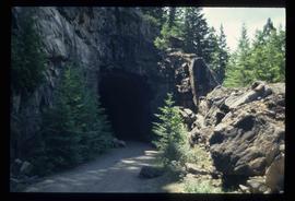
Image depicts the mouth of a tunnel from the Kettle Valley Rail Road.
Image depicts an unknown figure standing inside a tunnel from the old Kettle Valley Rail Road.
Image depicts a tunnel from the old Kettle Valley Rail Road.
Image depicts a woman standing inside a tunnel from the old Kettle Valley Rail Road.
Image depicts a woman standing inside a tunnel from the old Kettle Valley Rail Road.
Image depicts the mouth of a tunnel from the Kettle Valley Rail Road.
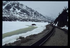
Image depicts two merging railway tracks, and what appears to be a frozen river, somewhere near the summit of a mountain.
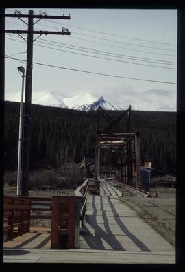
Image depicts a railway bridge, possibly in the small town of Fraser, located on the Klondike Highway in B.C.
File consists of notes, clippings, and reproductions relating to railway heritage in British Columbia. Includes: "Heritage West" volume 8 number 3 of Heritage West magazine (1984); "Article to be Published" typescript document by Kent Sedgwick sent to Heritage West (1984); "geography 103 Endako - McBride" typescript document by Allan MacDonald (1980); "BC Rail" special edition of the Prince George Citizen newspaper (May 1987); and "Heritage Cranbrook" promotional booklet (2004).
Photograph depicts a section of railway trackage, presumed to be located within or nearby Sinclair Mills, BC with an old truck parked beside the tracks and the forest.
Photograph depicts a section of railway trackage with a pile of locks stacked beside the rail line, presumed to be located within or nearby Sinclair Mills, BC.
Photograph depicts a section of railway trackage, presumed to be located within or nearby Sinclair Mills, BC.
Photograph depicts a section of railway trackage, presumed to be located within or nearby Sinclair Mills, BC. There is a man on the other side of the railway tracks.
Photograph depicts a section of railway trackage, presumed to be located within or nearby Sinclair Mills, BC.
Photograph depicts a landscape, with mountains in the background and trees in the foreground.
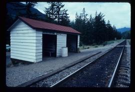
Photograph depicts railway tracks, surrounded by trees on both sides.
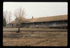
Image depicts a set of railway tracks and a long building located somewhere in the Peace River Region.
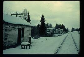
Image depicts railway tracks on the right side of the image, and several old houses alongside it. The location is uncertain.
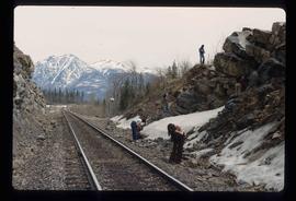
Image depicts a group of individuals who appear to be searching through the rocks near a railway track. It is possibly part of an educational trip.
Photograph depicts an octagonal railway water tower at an unknown location.
Photograph depicting a residential building surrounded by trees in an unknown location.
Photograph depicting a residential building surrounded by trees in an unknown location.
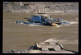
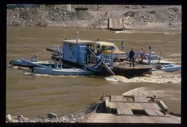
Image depicts a ferry on a river, possibly the Fraser River in the Lillooet area.
Image depicts a ferry on a river, possibly the Fraser River in the Lillooet area.
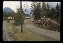
Image depicts a road with what appears to be a junkyard to the right of the image, likely located somewhere in Seton Portage, B.C.
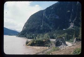
Image depicts a mountain located somewhere along the Skeena River, and a road alongside it.
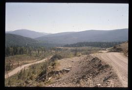
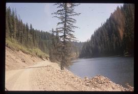
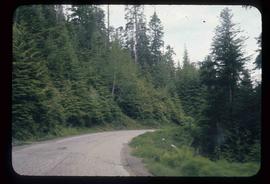
Image depicts the dirt road leading to Keithley Creek.
Image depicts the dirt road leading to Keithley Creek.
Image depicts a road leading to Prince Rupert, B.C.
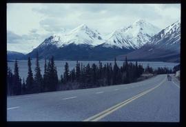
Image depicts the road to Skagway, Alaska. Possibly located on the Klondike Highway in British Columbia with Tutshi Lake on the left.
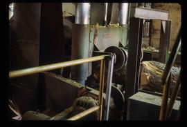
Image depicts machinery in a saw mill somewhere in Prince George, B.C.
Image depicts the side of a train and the tracks it is on, as well as a small section of what is either Seton or Anderson Lake near Seton Portage, B.C.
Image depicts the train station in Seton Portage, B.C.
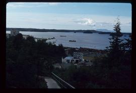
Image depicts several ships on the water in Prince Rupert, B.C.
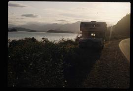
Image depicts a vehicled parked on the side of the road, with a view of the coast of Haida Gwaii in the background.
Photograph depicts the Sinclair Mills community hall, it includes a sign in front of the building reading "Welcome to Sinclair Mills, Community Hall".
Image depicts railway tracks and buildings with a beehive burner on the left. The location is likely Sinclair Mills, B.C. Map coordinates 54°01'17.4"N 121°40'53.0"W
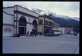
Image depicts the bus depot in Skagway, Alaska (USA).
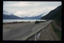
Image depicts the Skeena River, as well as a stretch of highway that appears to be under construction.
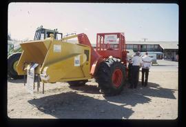
Image depicts two unidentified individuals examining a tractor meant to delimb trees. It is located in Prince George, B.C.
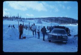
Image depicts a vehicle and a large group of skiers somewhere on Tabor Mountain in Prince George, B.C.
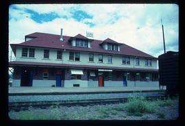
Image depicts the CN rail station in Smithers B.C.
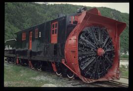
Image depicts the restored White Pass Snow Plow No.1 in Skagway, Alaska.
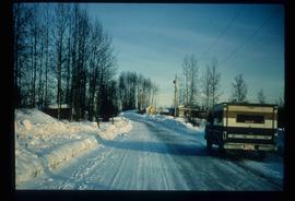
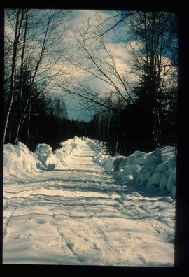
Image depicts a snow-covered road at an uncertain location.
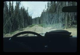
Image depicts a road covered in snow running through the woods at an uncertain location.
Image depicts a snowy road at an uncertain location.
