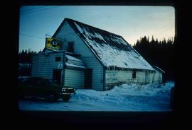
Image depicts the Upper Fraser General Store in Upper Fraser, B.C. Two other signs indicate that it is also a post office and a place that offers propane refills. Map coordinates 54°07'10.8"N 121°56'51.7"W
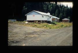
Image depicts a house being removed from Upper Fraser, B.C. during demolition of town site. A sign on the house reads: "Murray Blackwell House Raising & Moving." Map coordinates 54°06'51.6"N 121°56'26.3"W
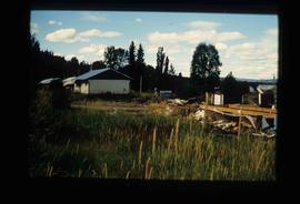
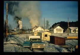
Image depicts houses in the Upper Fraser residential area during demolition of town site. Map coordinates 54°06'51.6"N 121°56'26.3"W
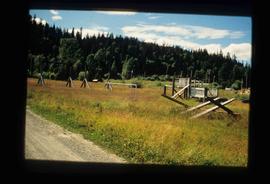
Image depicts Upper Fraser town site playground, after closure of town site. Map coordinates 54°07'01.4"N 121°56'29.9"W
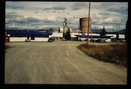
Image depicts the entrance to the Upper Fraser mill yard in Upper Fraser, B.C. Map coordinates 54°07'10.8"N 121°56'51.7"W
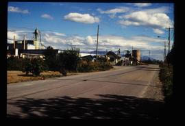
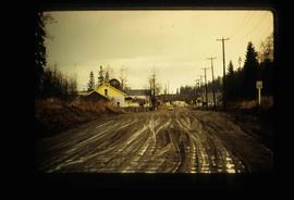
Image depicts the Upper Fraser Road running through Upper Fraser, B.C. A newer style round burner is seen in the background. Map coordinates 54°07'05.7"N 121°56'38.9"W
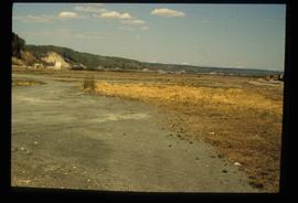
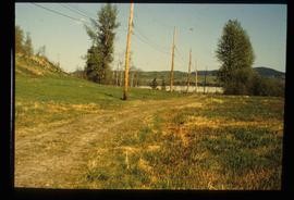
Image depicts an open area with Eaglet Lake in the background. It depicts the previous site of the mill at Giscome, B.C. Map coordinates 54°04'19.7"N 122°22'04.7"W
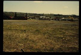
Image depicts the Giscome B.C. townsite from across the railroad tracks looking southeast. Map coordinates 54°04'19.7"N 122°22'04.7"W
Image depicts the remains of a street of houses in Giscome, B.C. The quarry is slightly visible in the background. Map coordinates 54°04'20.9"N 122°21'53.1"W
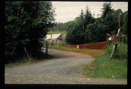
Image depicts a driveway cordoned off by a red mesh material in Newlands, B.C. The address of the house is labelled 31951, and the name listed is "Fauchers." Map coordinates 54°06'47.8"N 122°08'22.4"W
Image depicts numerous buildings at an uncertain location. A beehive burner and what appears to be a large pile of wood is visible in the background.
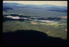
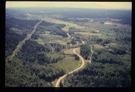
Image depicts an aerial view of a lake and large, forested areas. The location is uncertain.
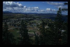
Image depicts an aerial view of a landscape at an uncertain location.
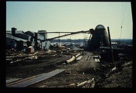
Image depicts several houses and the Giscome saw mill in Giscome, B.C. in the background. Map coordinates 54°04'20.9"N 122°21'53.1"W
Image depicts the mill site at Giscome and its beehive burner. Map coordinates 54°04'19.7"N 122°22'04.7"W
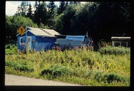
Image depicts a blue house for sale on Upper Fraser Rd. Location is likely Upper Fraser, B.C.
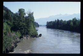
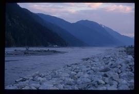
Image depicts what is possibly the Nass River.
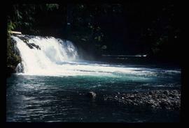
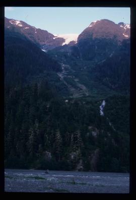
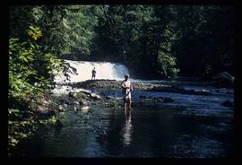
Image depicts a small waterfall at an uncertain location.
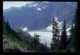
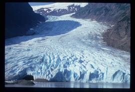
Image depicts a small section of the Bear Glacier.
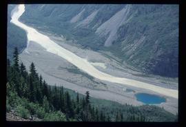
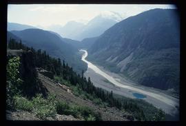
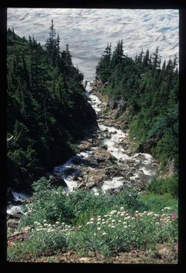
Image depicts what is possibly Bear River in the Bear Glacier Provincial Park.
Image depicts what is possibly Bear River, flowing out from an opening in the Bear Glacier.
Image depicts a mountain somewhere in Bear Glacier Provincial Park.
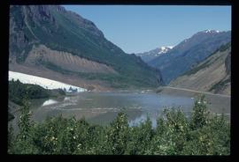
Image depicts what is possibly Bear River flowing past what is likely a section of the Bear Glacier.
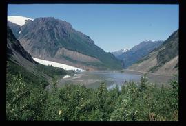
Image depicts what is possibly Bear River flowing past what is likely a section of the Bear Glacier.
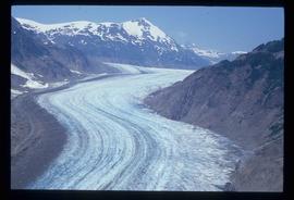
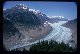
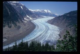
Image depicts the Bear Glacier stretching through a mountain range.
Image depicts the Bear Glacier stretching through a mountain range.
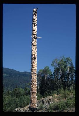
Image depicts a totem pole at an uncertain location, possibly in Gitwinksihlkw, B.C.
Image depicts a few unidentified individuals fishing in a river at an uncertain location.
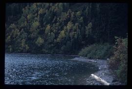
Image depicts the North end of Portage Lake.
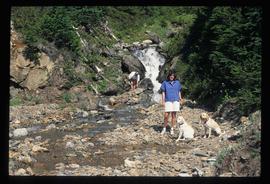
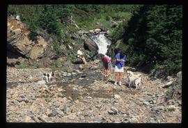
Image depicts two individuals and two dogs standing by a stream at an uncertain location, possibly somewhere in Bear Glacier Provincial Park. The woman in purple is possibly Sue Sedgwick.
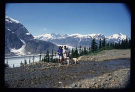
Image depicts Sue and Kent Sedgwick with two dogs, standing with the Bear Glacier in the background.
Image depicts what is possibly Bear River in the Bear Glacier Provincial Park.
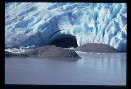
Image depicts a close-up of a cave-like opening in the Bear Glacier.
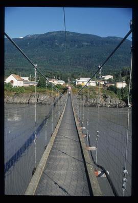
Image depicts a narrow footbridge suspended over a river at an uncertain location.
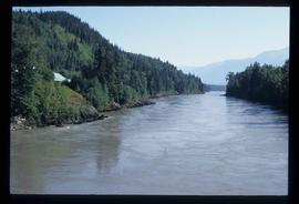
Image depicts what is possibly the Nass River.
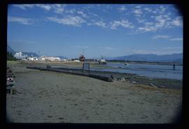
Image depicts what is possibly Hospital Beach in Kitimat, B.C. The facility in the background is possibly the Alcan smelter.
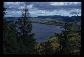
Image depicts a view of the Fraser Lake.
Image depicts a downhill stream somewhere in the area surrounding Stewart, B.C.
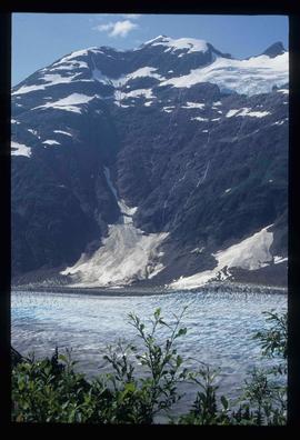
Image depicts Bear Glacier in the foreground and a mountain in the background, somewhere in Bear Glacier Provincial Park.
Image depicts three individuals and three dogs standing by a stream at an uncertain location, possibly somewhere in Bear Glacier Provincial Park. The woman in purple is possibly Sue Sedgwick.
Image depicts what is possibly Bear River in the Bear Glacier Provincial Park.
Image depicts the Bear Glacier with a cave-like opening.
Image depicts the Bear Glacier stretching through a mountain range.
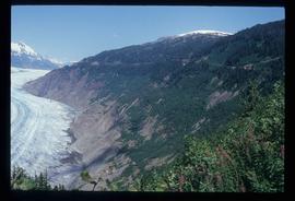
Image depicts a mountain with a thin line of what appears to be a road visible on the side, with the Bear Glacier located on the left side of the image.
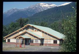
Image depicts the Gitwinksihlkw Elementary School in Gitwinksihlkw, B.C.
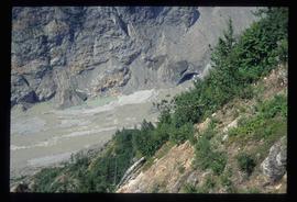
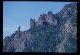
Image depicts a rock formation on a mountain side at an uncertain location.
Image depicts a view of Fraser Lake.
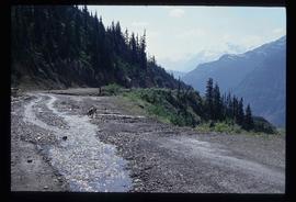
Image depicts a dog on a road, and a view of the mountains in Bear Glacier Provincial Park.
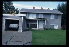
Image depicts a house with a vehicle in a garage and the number 40 on it; location is uncertain.
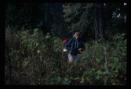
Image depicts a woman named "Gail" on a trail to Portage Lake.
