2012.13.1.98.07
·
Item
·
1999
Part of J. Kent Sedgwick fonds
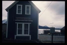
Image depicts the Caribou Hotel and the Matthew Watson General Store in Carcross, Y.T.